9350 Highway E Camden Point, MO 64018
Estimated Value: $397,000 - $745,079
5
Beds
2
Baths
11,072
Sq Ft
$52/Sq Ft
Est. Value
About This Home
This home is located at 9350 Highway E, Camden Point, MO 64018 and is currently estimated at $571,040, approximately $51 per square foot. 9350 Highway E is a home located in Platte County with nearby schools including North Platte Elementary School, North Platte Intermediate School, and North Platte Junior High School.
Ownership History
Date
Name
Owned For
Owner Type
Purchase Details
Closed on
Apr 10, 2015
Sold by
Koontz William H
Bought by
Finke Kimberly Rae
Current Estimated Value
Home Financials for this Owner
Home Financials are based on the most recent Mortgage that was taken out on this home.
Original Mortgage
$364,000
Outstanding Balance
$280,026
Interest Rate
3.88%
Mortgage Type
Future Advance Clause Open End Mortgage
Estimated Equity
$291,014
Create a Home Valuation Report for This Property
The Home Valuation Report is an in-depth analysis detailing your home's value as well as a comparison with similar homes in the area
Purchase History
| Date | Buyer | Sale Price | Title Company |
|---|---|---|---|
| Finke Kimberly Rae | -- | Stewart Title Company |
Source: Public Records
Mortgage History
| Date | Status | Borrower | Loan Amount |
|---|---|---|---|
| Open | Finke Kimberly Rae | $364,000 |
Source: Public Records
Tax History
| Year | Tax Paid | Tax Assessment Tax Assessment Total Assessment is a certain percentage of the fair market value that is determined by local assessors to be the total taxable value of land and additions on the property. | Land | Improvement |
|---|---|---|---|---|
| 2025 | $2,280 | $33,079 | $2,570 | $30,509 |
| 2024 | $2,179 | $33,079 | $2,570 | $30,509 |
| 2023 | $2,179 | $33,079 | $2,570 | $30,509 |
| 2022 | $2,201 | $33,104 | $2,595 | $30,509 |
| 2021 | $2,208 | $33,104 | $2,595 | $30,509 |
| 2020 | $2,305 | $34,083 | $3,574 | $30,509 |
| 2019 | $2,305 | $34,083 | $3,574 | $30,509 |
| 2018 | $2,321 | $34,083 | $3,574 | $30,509 |
| 2017 | $2,321 | $34,083 | $3,574 | $30,509 |
| 2016 | $2,300 | $34,083 | $3,574 | $30,509 |
| 2015 | $2,299 | $34,083 | $3,574 | $30,509 |
| 2013 | -- | $34,003 | $0 | $0 |
Source: Public Records
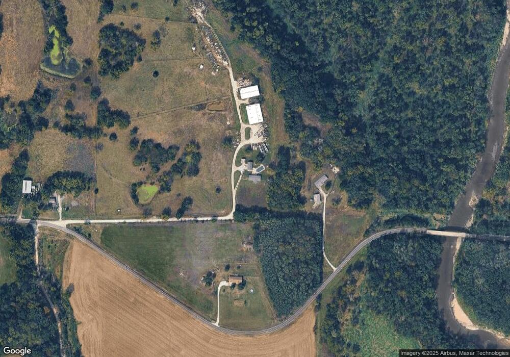
Map
Nearby Homes
- 0 Cockriel Rd
- 19845 S Ridgely Rd
- 207 2nd St E
- 0 Little Platte Rd Unit HMS2597502
- 19710 Kansas City Blvd
- 0 Smith Rd
- 16695 B Hwy
- 501 N Platte Ave
- 7610 Hoover Rd
- 18406 Rock Ridge N
- U Highway
- 0 U Hwy Unit HMS2588353
- 18410 Rock Creek Dr
- 18408 Rock Creek Dr
- 103 Johnson Cir
- 17205 Thomas Lane Rd
- 6320 NE 164th St
- 12890 Bethel Terrace
- 100 Lake Meadows Dr
- 102 Lake Meadows Dr
- 9350 County Rd E
- 9170 County Rd E
- 9170 Highway E
- 9340 Highway E
- 9340 County Rd E
- 9670 County Rd E
- 9825 County Rd E
- 0 Highway E
- 8650 Highway E
- 8755 Highway E
- 10065 Highway E
- 10065 County Rd E
- 8455 Highway E
- 19585 Cockriel Rd
- 10275 County Rd E
- 8460 Highway E
- 19050 Cockriel Rd
- 10770 County Rd E
- 19150 Cockriel Rd
- 0 Dicks Creek Rd Unit 1707567
Your Personal Tour Guide
Ask me questions while you tour the home.