Estimated Value: $170,000 - $252,000
4
Beds
1
Bath
1,107
Sq Ft
$193/Sq Ft
Est. Value
About This Home
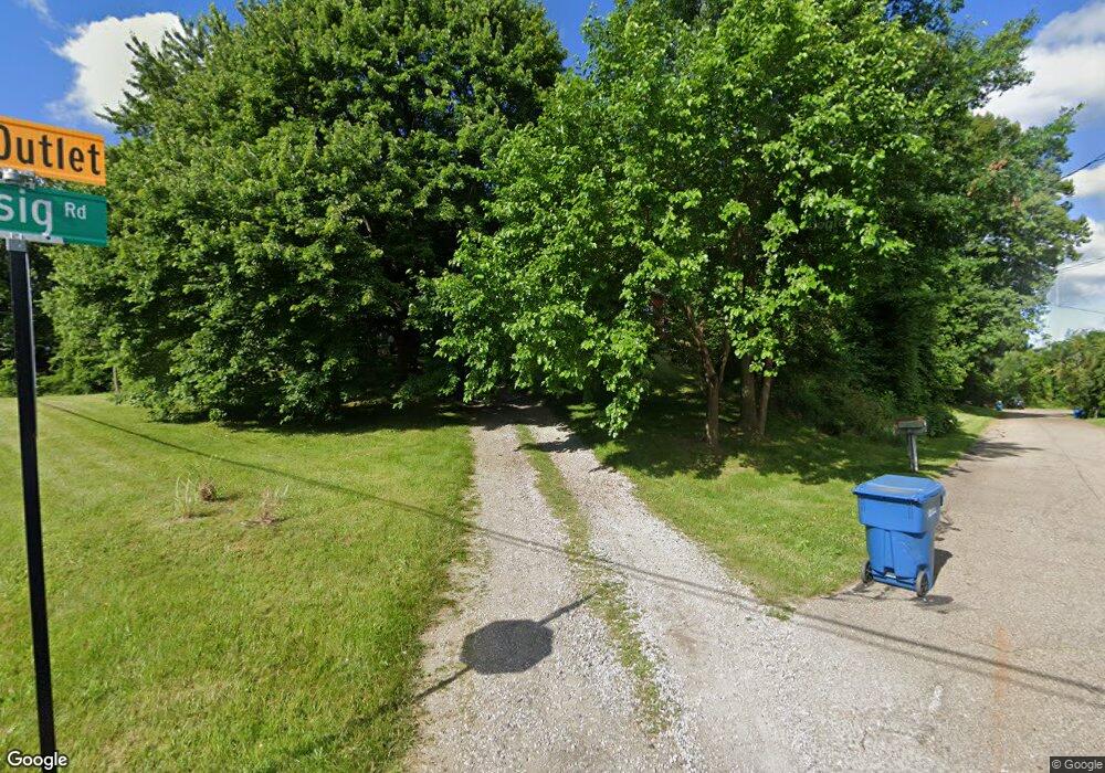
This home is located at 936 Essig Rd, Akron, OH 44312 and is currently estimated at $213,812, approximately $193 per square foot. 936 Essig Rd is a home located in Summit County with nearby schools including Greenwood Elementary School, Green Intermediate Elementary School, and Green Primary School.
Ownership History
Date
Name
Owned For
Owner Type
Purchase Details
Closed on
Oct 8, 2014
Sold by
Flynn Kevin C
Bought by
Kcf Investments Llc
Current Estimated Value
Purchase Details
Closed on
Jul 17, 2014
Sold by
Flynn Karen C
Bought by
Flynn Kevin C
Purchase Details
Closed on
May 25, 2010
Sold by
Byers Marilyn
Bought by
Flynn Kevin C and Flynn Karen C
Home Financials for this Owner
Home Financials are based on the most recent Mortgage that was taken out on this home.
Original Mortgage
$40,000
Interest Rate
5.3%
Mortgage Type
Purchase Money Mortgage
Create a Home Valuation Report for This Property
The Home Valuation Report is an in-depth analysis detailing your home's value as well as a comparison with similar homes in the area
Home Values in the Area
Average Home Value in this Area
Purchase History
| Date | Buyer | Sale Price | Title Company |
|---|---|---|---|
| Kcf Investments Llc | -- | Chicago Title Ins Co Box | |
| Flynn Kevin C | -- | Chicago Title Ins Co Box | |
| Flynn Kevin C | $50,000 | Attorney |
Source: Public Records
Mortgage History
| Date | Status | Borrower | Loan Amount |
|---|---|---|---|
| Previous Owner | Flynn Kevin C | $40,000 |
Source: Public Records
Tax History Compared to Growth
Tax History
| Year | Tax Paid | Tax Assessment Tax Assessment Total Assessment is a certain percentage of the fair market value that is determined by local assessors to be the total taxable value of land and additions on the property. | Land | Improvement |
|---|---|---|---|---|
| 2025 | $2,994 | $59,059 | $16,695 | $42,364 |
| 2024 | $2,994 | $59,059 | $16,695 | $42,364 |
| 2023 | $2,994 | $59,059 | $16,695 | $42,364 |
| 2022 | $2,678 | $47,222 | $13,251 | $33,971 |
| 2021 | $2,424 | $47,222 | $13,251 | $33,971 |
| 2020 | $2,479 | $47,220 | $13,250 | $33,970 |
| 2019 | $2,177 | $38,510 | $26,860 | $11,650 |
| 2018 | $2,224 | $38,510 | $26,860 | $11,650 |
| 2017 | $2,200 | $38,510 | $26,860 | $11,650 |
| 2016 | $2,190 | $36,600 | $26,860 | $9,740 |
| 2015 | $2,200 | $36,600 | $26,860 | $9,740 |
| 2014 | $2,137 | $36,600 | $26,860 | $9,740 |
| 2013 | $2,250 | $37,550 | $26,860 | $10,690 |
Source: Public Records
Map
Nearby Homes
- 0 Fortuna Dr Unit 5005346
- 2872 Ironwood Dr
- 1096 Cookhill Cir Unit 50
- 652 Bobwhite Trail
- 1188 Cookhill Cir Unit 21
- 1254 Maxfli Dr
- 1292 Ashwood Rd
- 3113 Sparrows Crest
- 988 E Turkeyfoot Lake Rd
- 1242 Bexley Cir
- 2802 Hartford Ln
- 1134 E Turkeyfoot Lake Rd
- 960 Impala Dr
- S/L 43 Park Ave
- 1372 Park Ave
- 3324 Molly Dr
- 3108 Vermont Place
- 435 Bonshire Rd
- 3109 Vermont Place
- 3117 Vermont Place
- 3060 Chenoweth Rd Unit 3062
- 3020 Chenoweth Rd
- 933 Essig Rd
- 3070 Chenoweth Rd
- 910 Essig Rd
- 3049 Chenoweth Rd
- 3049 Chenoweth Rd
- 2996 Chenoweth Rd
- 3083 Chenoweth Rd
- 679 Saint Andrews Ct Unit 15
- 3097 Chenoweth Rd
- 2979 Chenoweth Rd
- 2979 Chenoweth Rd
- 0 Lot 13 St Andrews Ct Unit 4404040
- 985 Woodward Rd
- 993 Woodward Rd
- 3171 S Arlington Rd
- 2957 Chenoweth Rd
- 984 Delta 77 Dr
- 1007 Woodward Rd