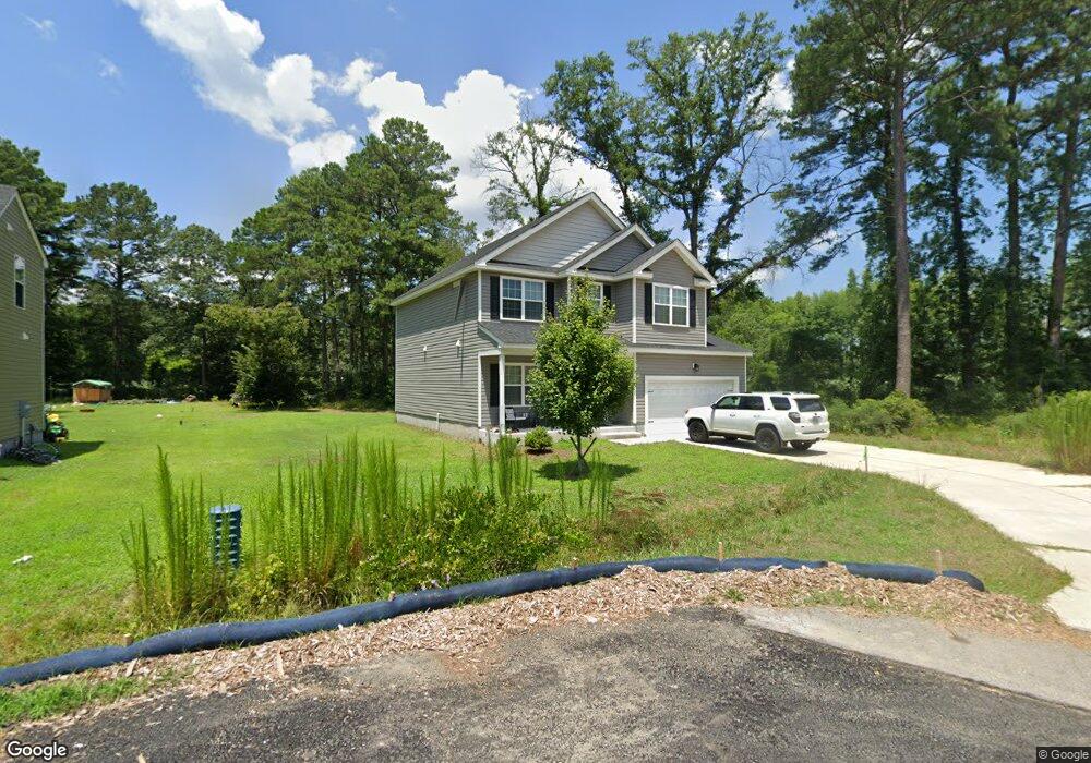
936 Michael Dr Chesapeake, VA 23323
Deep Creek NeighborhoodEstimated Value: $377,000 - $421,472
4
Beds
3
Baths
2,000
Sq Ft
$203/Sq Ft
Est. Value
About This Home
This home is located at 936 Michael Dr, Chesapeake, VA 23323 and is currently estimated at $406,618, approximately $203 per square foot. 936 Michael Dr is a home located in Chesapeake City with nearby schools including G.A. Treakle Elementary School, Deep Creek Middle School, and Deep Creek High.
Ownership History
Date
Name
Owned For
Owner Type
Purchase Details
Closed on
Apr 21, 2024
Sold by
Kowalow Kiley Anne
Bought by
Mckinnon Jeremy W
Current Estimated Value
Purchase Details
Closed on
Sep 11, 2019
Sold by
Wh Chesapeake Llc
Bought by
Kowalow Kiley Anne
Home Financials for this Owner
Home Financials are based on the most recent Mortgage that was taken out on this home.
Original Mortgage
$285,917
Interest Rate
3.7%
Mortgage Type
VA
Create a Home Valuation Report for This Property
The Home Valuation Report is an in-depth analysis detailing your home's value as well as a comparison with similar homes in the area
Home Values in the Area
Average Home Value in this Area
Purchase History
| Date | Buyer | Sale Price | Title Company |
|---|---|---|---|
| Mckinnon Jeremy W | $410,000 | Navy Federal Title | |
| Mckinnon Jeremy W | $410,000 | Navy Federal Title | |
| Kowalow Kiley Anne | $279,900 | Attorney |
Source: Public Records
Mortgage History
| Date | Status | Borrower | Loan Amount |
|---|---|---|---|
| Previous Owner | Kowalow Kiley Anne | $285,917 |
Source: Public Records
Tax History
| Year | Tax Paid | Tax Assessment Tax Assessment Total Assessment is a certain percentage of the fair market value that is determined by local assessors to be the total taxable value of land and additions on the property. | Land | Improvement |
|---|---|---|---|---|
| 2025 | $3,798 | $398,000 | $120,000 | $278,000 |
| 2024 | $3,798 | $376,000 | $110,000 | $266,000 |
| 2023 | $3,275 | $355,000 | $100,000 | $255,000 |
| 2022 | $3,289 | $325,600 | $90,000 | $235,600 |
| 2021 | $2,936 | $279,600 | $75,000 | $204,600 |
| 2020 | $2,843 | $270,800 | $75,000 | $195,800 |
| 2019 | $1,758 | $75,000 | $75,000 | $0 |
| 2018 | $367 | $35,000 | $35,000 | $0 |
| 2017 | $368 | $35,000 | $35,000 | $0 |
| 2016 | $368 | $35,000 | $35,000 | $0 |
| 2015 | $368 | $35,000 | $35,000 | $0 |
| 2014 | $368 | $35,000 | $35,000 | $0 |
Source: Public Records
Map
Nearby Homes
- 1008 Shore Rd
- 1016 Shore Rd
- 808 State St
- 1057 Saint Julian Dr
- 2053 Iowa St
- 2213 Tennessee Dr
- 1241 N River Dr
- 2315 Cross St
- 103 Ford St
- 2411 Youngman Rd
- 2220 Battery Park Rd
- 2320 Battery Park Rd
- 2507 Sunset Dr
- 2029 Battery Park Rd
- 2213 Springdale Rd
- 000 Shell Rd
- 2685 Powell Cir
- 1445 Boxwood Dr
- 2552 Roundtree Cir
- 952 George Washington Hwy N Unit B-1
- 924 Michael Dr
- 932 Michael Dr
- 937 Michael Dr
- 933 Michael Dr
- 2000 Texas St
- 941 Michael Dr
- 929 Michael Dr
- 2004 Girard Ave
- 2004 Texas St
- 925 Michael Dr
- 2008 Girard Ave
- 2008 Texas St
- 921 Michael Dr
- 2025 Maywood St
- 916 Michael Dr
- 917 Michael Dr Unit A
- 917 Michael Dr
- 917 Michael Dr Unit B
- 2029 Maywood St
- 2012 Texas St
Your Personal Tour Guide
Ask me questions while you tour the home.