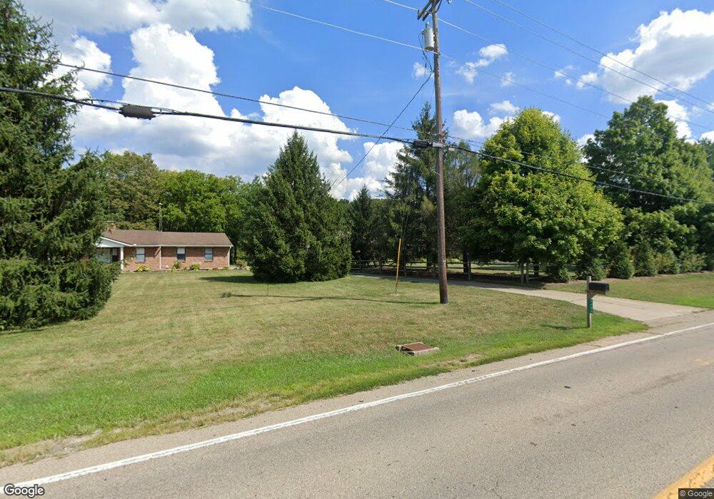
9380 Dry Fork Rd Harrison, OH 45030
Estimated Value: $371,000 - $440,000
3
Beds
2
Baths
1,288
Sq Ft
$315/Sq Ft
Est. Value
About This Home
This home is located at 9380 Dry Fork Rd, Harrison, OH 45030 and is currently estimated at $406,280, approximately $315 per square foot. 9380 Dry Fork Rd is a home located in Hamilton County with nearby schools including William Henry Harrison High School, St. John The Baptist School, and Summit Academy of Southwest Ohio.
Ownership History
Date
Name
Owned For
Owner Type
Purchase Details
Closed on
May 21, 2018
Sold by
Strimple Donald E
Bought by
Kater Mark R and Uhlman Ann M
Current Estimated Value
Home Financials for this Owner
Home Financials are based on the most recent Mortgage that was taken out on this home.
Original Mortgage
$196,000
Outstanding Balance
$168,762
Interest Rate
4.4%
Mortgage Type
New Conventional
Estimated Equity
$237,518
Purchase Details
Closed on
Dec 9, 2004
Sold by
Strimple Donald D
Bought by
Strimple Edith C
Create a Home Valuation Report for This Property
The Home Valuation Report is an in-depth analysis detailing your home's value as well as a comparison with similar homes in the area
Purchase History
| Date | Buyer | Sale Price | Title Company |
|---|---|---|---|
| Kater Mark R | $245,000 | Acs Title & Closing Services | |
| Strimple Edith C | -- | -- |
Source: Public Records
Mortgage History
| Date | Status | Borrower | Loan Amount |
|---|---|---|---|
| Open | Kater Mark R | $196,000 |
Source: Public Records
Tax History Compared to Growth
Tax History
| Year | Tax Paid | Tax Assessment Tax Assessment Total Assessment is a certain percentage of the fair market value that is determined by local assessors to be the total taxable value of land and additions on the property. | Land | Improvement |
|---|---|---|---|---|
| 2023 | $4,460 | $113,439 | $29,866 | $83,573 |
| 2022 | $3,644 | $80,973 | $31,976 | $48,997 |
| 2021 | $3,626 | $80,973 | $31,976 | $48,997 |
| 2020 | $3,241 | $80,973 | $31,976 | $48,997 |
| 2019 | $3,560 | $84,557 | $28,298 | $56,259 |
| 2018 | $3,581 | $84,557 | $28,298 | $56,259 |
| 2017 | $3,360 | $84,557 | $28,298 | $56,259 |
| 2016 | $2,755 | $77,260 | $27,731 | $49,529 |
| 2015 | $2,779 | $77,260 | $27,731 | $49,529 |
| 2014 | $2,788 | $77,260 | $27,731 | $49,529 |
| 2013 | $2,876 | $78,838 | $28,298 | $50,540 |
Source: Public Records
Map
Nearby Homes
- 0 Harrison Ave Unit 1863354
- 0 Harrison Ave Unit 1842541
- 120 Hickory Flats Dr
- 1144 South Branch
- 122 Hopping Ct
- 314 Country View Dr
- 308 Country View Dr
- 10300 West Rd
- 9208 West Rd
- 108 Carrie Dr
- 8992 Camberley St
- 153 Country View Dr
- 1198 South Branch
- 0 Carolina Trace Rd Unit 1840792
- 9452 Tebbs Ct
- 111 Burk Ln
- 1 Mackie Ct
- 10701 Stone Ridge Way
- 1539 Sefton Dr
- 602 Wood Bluff Ln
- 2 Dry Fork Rd
- 9400 Dry Fork Rd
- 9320 Dry Fork Rd
- 9454 Dry Fork Rd
- 9466 Dry Fork Rd
- 9482 Dry Fork Rd
- 9500 Dry Fork Rd
- 0 Enterprise Dr Unit 1190945
- 0 Enterprise Dr Unit 1328218
- 0 Enterprise Dr Unit 1431274
- 9512 Dry Fork Rd
- 9530 Dry Fork Rd
- 9568 Dry Fork Rd
- 1 .0 Enterprise Dr
- 9701 Dry Fork Rd
- 701 Enterprise Dr
- 9660 Dry Fork Rd
- 9140 Flintwood Dr
- 9114 Flintwood Dr
- 9120 Dry Fork Rd