9388 Rabbitbrush Rd Littleton, CO 80127
Estimated Value: $822,000 - $1,402,000
3
Beds
4
Baths
1,126
Sq Ft
$941/Sq Ft
Est. Value
About This Home
This home is located at 9388 Rabbitbrush Rd, Littleton, CO 80127 and is currently estimated at $1,059,405, approximately $940 per square foot. 9388 Rabbitbrush Rd is a home located in Jefferson County with nearby schools including Bradford K8 South, Bradford K8 North, and Chatfield High School.
Ownership History
Date
Name
Owned For
Owner Type
Purchase Details
Closed on
Jul 1, 2005
Sold by
Collins Glenn R and Collins Carla B
Bought by
Watrous E Rick and Watrous Christine Krys A
Current Estimated Value
Create a Home Valuation Report for This Property
The Home Valuation Report is an in-depth analysis detailing your home's value as well as a comparison with similar homes in the area
Home Values in the Area
Average Home Value in this Area
Purchase History
| Date | Buyer | Sale Price | Title Company |
|---|---|---|---|
| Watrous E Rick | -- | -- |
Source: Public Records
Tax History Compared to Growth
Tax History
| Year | Tax Paid | Tax Assessment Tax Assessment Total Assessment is a certain percentage of the fair market value that is determined by local assessors to be the total taxable value of land and additions on the property. | Land | Improvement |
|---|---|---|---|---|
| 2024 | $3,074 | $37,326 | $98 | $37,228 |
| 2023 | $3,074 | $41,011 | $98 | $40,913 |
| 2022 | $1,798 | $26,730 | $95 | $26,635 |
| 2021 | $1,845 | $27,858 | $105 | $27,753 |
| 2020 | $1,719 | $26,501 | $100 | $26,401 |
| 2019 | $1,694 | $26,501 | $100 | $26,401 |
| 2018 | $2,288 | $32,521 | $96 | $32,425 |
| 2017 | $2,004 | $32,521 | $96 | $32,425 |
| 2016 | $1,413 | $24,627 | $90 | $24,537 |
| 2015 | $1,392 | $24,627 | $90 | $24,537 |
| 2014 | $1,392 | $23,337 | $83 | $23,254 |
Source: Public Records
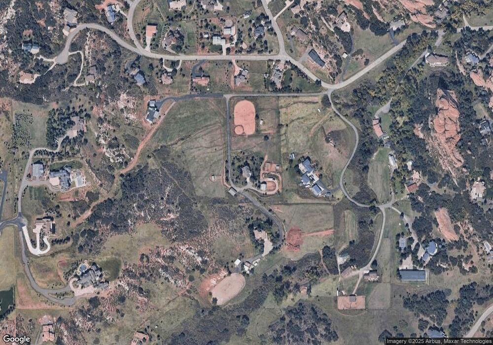
Map
Nearby Homes
- 12947 Lazy Dog Ln
- 9356 Cherrywood Trail
- 9737 Elkhorn St
- 12312 White Deer Dr
- 8287 S Quail St
- Willow Plan at Ken-Caryl Ranch - Deer Creek
- Ponderosa Plan at Ken-Caryl Ranch - Deer Creek
- 11341 W Alder Dr
- 8407 S Parfet Ct
- 34 Desert Willow Ln
- 8470 S Oak St
- 8242 S Pierson St
- 10062 W Victoria Place Unit 205
- 9788 S Johnson Way
- 10061 W Victoria Place Unit 204
- 9876 W Freiburg Dr Unit F
- 9896 W Freiburg Dr Unit 1B
- 9896 W Freiburg Dr Unit 1D
- 9836 W Freiburg Dr Unit 4B
- 9992 W Victoria Place Unit 103
- 00 Rabbitbrush Rd
- 0 Rabbitbrush Rd
- 9415 S Erin Ln
- 000 Rabbitbrush
- 9449 Rabbitbrush Rd
- 12654 W Buckhorn Rd
- 12654 W Buckhorn Rd
- 12854 W Buckhorn Rd
- 12754 W Buckhorn Rd
- 12904 W Buckhorn Rd
- 0 W Buckhorn Way
- 12984 W Buckhorn Rd
- 00 W Buckhorn Rd
- 0 W Buckhorn Rd Unit 8584429
- 0 W Buckhorn Rd Unit 8126493
- 12703 W Buckhorn Rd
- 9283 S Buffalo Dr
- 12903 W Buckhorn Rd
- 12753 W Buckhorn Rd
- 13054 W Buckhorn Rd