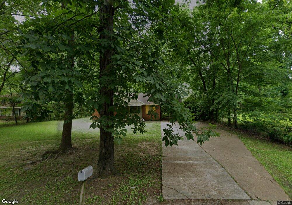
939 Colgate Rd Memphis, TN 38106
South Memphis NeighborhoodEstimated Value: $62,000 - $78,237
2
Beds
1
Bath
1,000
Sq Ft
$73/Sq Ft
Est. Value
About This Home
This home is located at 939 Colgate Rd, Memphis, TN 38106 and is currently estimated at $73,059, approximately $73 per square foot. 939 Colgate Rd is a home located in Shelby County with nearby schools including Riverview Middle School, A. B. Hill Elementary School, and Hamilton High School.
Ownership History
Date
Name
Owned For
Owner Type
Purchase Details
Closed on
May 20, 2011
Sold by
Bac Home Loans Servicing Lp
Bought by
Robinson Willie
Current Estimated Value
Purchase Details
Closed on
Feb 16, 2011
Sold by
Williams Genea F
Bought by
Bac Home Loans Servicing Lp and Countrywide Home Loans Servicing Lp
Purchase Details
Closed on
May 27, 1998
Sold by
Harvey James M
Bought by
Williams Genea
Home Financials for this Owner
Home Financials are based on the most recent Mortgage that was taken out on this home.
Original Mortgage
$42,750
Interest Rate
7.15%
Create a Home Valuation Report for This Property
The Home Valuation Report is an in-depth analysis detailing your home's value as well as a comparison with similar homes in the area
Home Values in the Area
Average Home Value in this Area
Purchase History
| Date | Buyer | Sale Price | Title Company |
|---|---|---|---|
| Robinson Willie | $9,200 | None Available | |
| Bac Home Loans Servicing Lp | $13,000 | None Available | |
| Williams Genea | $45,000 | -- |
Source: Public Records
Mortgage History
| Date | Status | Borrower | Loan Amount |
|---|---|---|---|
| Previous Owner | Williams Genea | $42,750 |
Source: Public Records
Tax History Compared to Growth
Tax History
| Year | Tax Paid | Tax Assessment Tax Assessment Total Assessment is a certain percentage of the fair market value that is determined by local assessors to be the total taxable value of land and additions on the property. | Land | Improvement |
|---|---|---|---|---|
| 2025 | $330 | $14,525 | $2,000 | $12,525 |
| 2024 | $330 | $9,725 | $1,750 | $7,975 |
| 2023 | $592 | $9,725 | $1,750 | $7,975 |
| 2022 | $592 | $9,725 | $1,750 | $7,975 |
| 2021 | $599 | $9,725 | $1,750 | $7,975 |
| 2020 | $678 | $9,350 | $1,750 | $7,600 |
| 2019 | $678 | $9,350 | $1,750 | $7,600 |
| 2018 | $678 | $9,350 | $1,750 | $7,600 |
| 2017 | $384 | $9,350 | $1,750 | $7,600 |
| 2016 | $397 | $9,075 | $0 | $0 |
| 2014 | $397 | $9,075 | $0 | $0 |
Source: Public Records
Map
Nearby Homes
- 1078 N Ball Rd
- 1202 Middle Dr Unit 101
- 661 E Mallory Ave
- 0 Carlton Rd
- 760 E Mckellar Ave
- 2377 Warren St
- 586 E Mallory Ave
- 672 E Davant Ave
- 2180 Elvis Presley Blvd
- 2048 Benton St
- 2601 Darlene St
- 1473 Carlton Rd
- 1385 Eloise Rd
- 1495 Compton Ave
- 1408 Eloise Rd
- 538 E Davant Ave
- 2436 Sparks St
- 478 E Davant Ave
- 944 Alice Ave
- 507 E Frank Ave