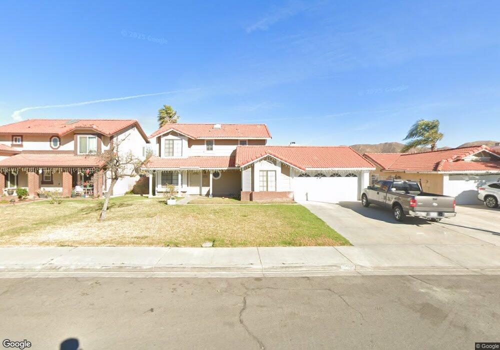
9392 Delfern Ln Riverside, CA 92509
Glen Avon NeighborhoodEstimated Value: $672,964 - $806,000
4
Beds
3
Baths
2,130
Sq Ft
$352/Sq Ft
Est. Value
About This Home
This home is located at 9392 Delfern Ln, Riverside, CA 92509 and is currently estimated at $749,741, approximately $351 per square foot. 9392 Delfern Ln is a home located in Riverside County with nearby schools including Stone Avenue Elementary School, Jurupa Middle School, and Patriot High School.
Ownership History
Date
Name
Owned For
Owner Type
Purchase Details
Closed on
Apr 23, 2019
Sold by
Family Tr Of Robert L Graham & Marcie Gr
Bought by
9392 Delfern Lane Trust
Current Estimated Value
Purchase Details
Closed on
Jul 13, 2006
Sold by
Graham Robert L and Graham Marcetta
Bought by
Graham Robert L and Graham Marcie
Purchase Details
Closed on
Sep 7, 2001
Sold by
Swims James C and Swims Ethel L
Bought by
Graham Robert L and Graham Marcetta
Create a Home Valuation Report for This Property
The Home Valuation Report is an in-depth analysis detailing your home's value as well as a comparison with similar homes in the area
Home Values in the Area
Average Home Value in this Area
Purchase History
| Date | Buyer | Sale Price | Title Company |
|---|---|---|---|
| 9392 Delfern Lane Trust | -- | None Available | |
| Graham Robert L | -- | None Available | |
| Graham Robert L | $147,721 | -- |
Source: Public Records
Tax History
| Year | Tax Paid | Tax Assessment Tax Assessment Total Assessment is a certain percentage of the fair market value that is determined by local assessors to be the total taxable value of land and additions on the property. | Land | Improvement |
|---|---|---|---|---|
| 2025 | $2,485 | $218,610 | $59,076 | $159,534 |
| 2023 | $2,485 | $210,123 | $56,783 | $153,340 |
| 2022 | $2,442 | $206,004 | $55,670 | $150,334 |
| 2021 | $2,424 | $201,966 | $54,579 | $147,387 |
| 2020 | $2,401 | $199,896 | $54,020 | $145,876 |
| 2019 | $2,355 | $195,977 | $52,961 | $143,016 |
| 2018 | $2,282 | $192,135 | $51,924 | $140,211 |
| 2017 | $2,258 | $188,368 | $50,906 | $137,462 |
| 2016 | $2,228 | $184,675 | $49,908 | $134,767 |
| 2015 | $2,198 | $181,903 | $49,159 | $132,744 |
| 2014 | $2,053 | $178,342 | $48,197 | $130,145 |
Source: Public Records
Map
Nearby Homes
- 9468 Hastings Blvd
- 9085 Bellegrave Ave
- 4856 Poinsetta Place
- 0 Fox Tail Ln
- 9861 Mission Blvd Unit 14
- 9885 Mission Blvd
- 4041 Pedley Rd Unit 4
- 9931 Union St
- 4080 Pedley Rd Unit 2
- 4080 Pedley Rd Unit 189
- 4080 Pedley Rd Unit 155
- 4080 Pedley Rd Unit 53
- 4080 Pedley Rd Unit 49
- 4080 Pedley Rd Unit 211
- 4080 Pedley Rd Unit 139
- 3604 Campbell St
- 10025 Mission Blvd
- 0 Felspar St Unit DW25190204
- 4080
- 4080
- 9402 Delfern Ln
- 9382 Delfern Ln
- 4343 Mapleton Cir
- 4338 Glenroy Ct
- 4363 Mapleton Cir
- 9379 Delfern Ln
- 9389 Delfern Ln
- 4373 Mapleton Cir
- 4348 Mapleton Cir
- 4356 Mapleton Cir
- 9399 Delfern Ln
- 4340 Mapleton Cir
- 4364 Mapleton Cir
- 4341 Glenroy Ct
- 4351 Glenroy Ct
- 4383 Mapleton Cir
- 9409 Delfern Ln
- 4372 Mapleton Cir
- 4331 Glenroy Ct
- 9380 Strathmore Ln
Your Personal Tour Guide
Ask me questions while you tour the home.