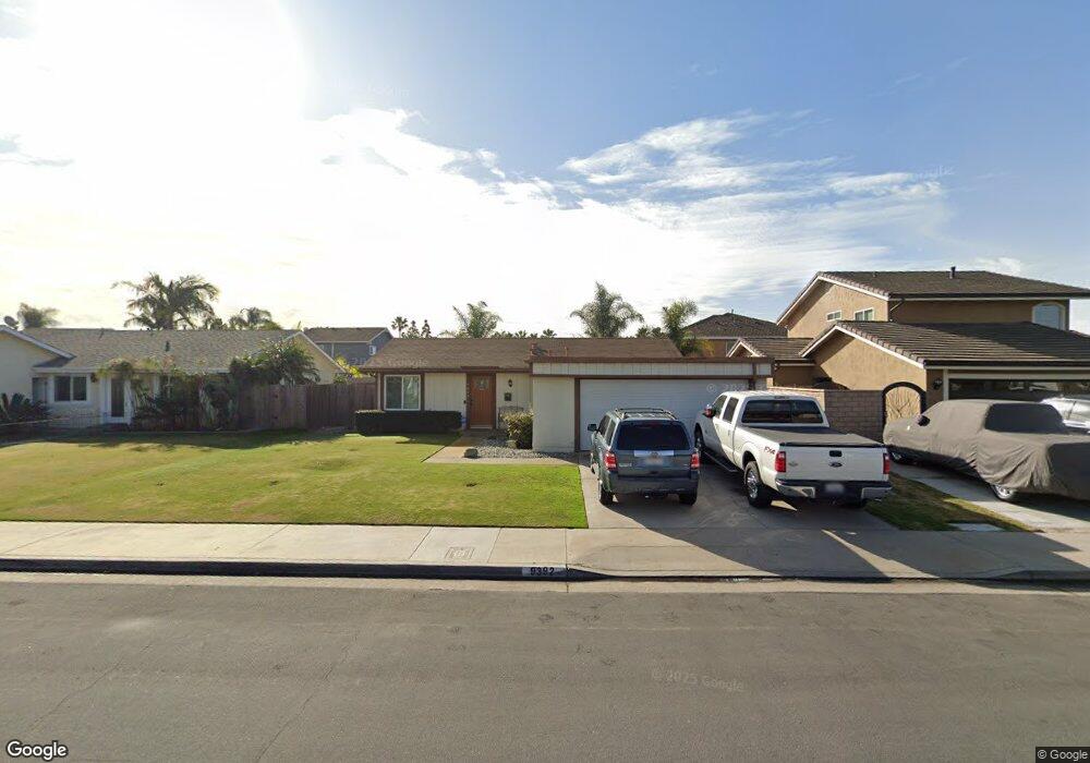
9392 Westcliff Dr Huntington Beach, CA 92646
Southeast NeighborhoodEstimated Value: $1,361,000 - $1,511,000
3
Beds
3
Baths
1,752
Sq Ft
$815/Sq Ft
Est. Value
About This Home
This home is located at 9392 Westcliff Dr, Huntington Beach, CA 92646 and is currently estimated at $1,428,064, approximately $815 per square foot. 9392 Westcliff Dr is a home located in Orange County with nearby schools including Ralph E. Hawes Elementary School, Isaac L. Sowers Middle School, and Edison High School.
Ownership History
Date
Name
Owned For
Owner Type
Purchase Details
Closed on
May 1, 2023
Sold by
Kilsby Thomas William
Bought by
Thomas William Kilsby And Marilyn Kay Nelson-
Current Estimated Value
Purchase Details
Closed on
Nov 23, 2018
Sold by
Kilsby Thomas William
Bought by
Kilsby Thomas William
Purchase Details
Closed on
Aug 21, 2015
Sold by
Kilsby Shizuko
Bought by
Kilsby Shizuko and Shizuko Kilsby 2015 Trust
Create a Home Valuation Report for This Property
The Home Valuation Report is an in-depth analysis detailing your home's value as well as a comparison with similar homes in the area
Home Values in the Area
Average Home Value in this Area
Purchase History
| Date | Buyer | Sale Price | Title Company |
|---|---|---|---|
| Thomas William Kilsby And Marilyn Kay Nelson- | -- | None Listed On Document | |
| Kilsby Thomas William | -- | None Available | |
| Kilsby Shizuko | -- | None Available |
Source: Public Records
Tax History Compared to Growth
Tax History
| Year | Tax Paid | Tax Assessment Tax Assessment Total Assessment is a certain percentage of the fair market value that is determined by local assessors to be the total taxable value of land and additions on the property. | Land | Improvement |
|---|---|---|---|---|
| 2025 | $1,868 | $143,670 | $37,041 | $106,629 |
| 2024 | $1,868 | $140,853 | $36,314 | $104,539 |
| 2023 | $1,821 | $138,092 | $35,602 | $102,490 |
| 2022 | $1,601 | $119,881 | $34,904 | $84,977 |
| 2021 | $1,184 | $82,070 | $34,220 | $47,850 |
| 2020 | $1,174 | $81,229 | $33,869 | $47,360 |
| 2019 | $1,162 | $79,637 | $33,205 | $46,432 |
| 2018 | $8,853 | $765,000 | $688,964 | $76,036 |
| 2017 | $1,127 | $76,546 | $31,916 | $44,630 |
| 2016 | $1,086 | $75,046 | $31,291 | $43,755 |
| 2015 | $1,073 | $73,919 | $30,821 | $43,098 |
| 2014 | $1,049 | $72,472 | $30,218 | $42,254 |
Source: Public Records
Map
Nearby Homes
- 20862 Lancelot Ln
- 21221 Hillsdale Ln
- 9001 Oceanwood Dr
- 9581 Chevy Chase Dr
- 9802 Effingham Dr
- 21361 Lemontree Ln
- 8932 Amador Cir Unit 1309B
- 21382 Lemontree Ln
- 9812 La Cresta Cir
- 21211 Poston Ln
- 8777 Tulare Dr Unit 409D
- 8788 Coral Springs Ct Unit 203
- 9171 Regatta Dr
- 8856 Sutter Cir Unit 522A
- 8856 526C Sutter
- 8886 Plumas Cir Unit 1124-A
- 9522 Yellowstone Dr
- 21022 Manessa Cir
- 21072 Galbar Cir
- 21621 Kaneohe Ln
- 9382 Westcliff Dr
- 9402 Westcliff Dr
- 9391 Fireside Dr
- 9381 Fireside Dr
- 9401 Fireside Dr
- 9372 Westcliff Dr
- 9412 Westcliff Dr
- 9391 Westcliff Dr
- 9371 Fireside Dr
- 9411 Fireside Dr
- 9381 Westcliff Dr
- 9401 Westcliff Dr
- 9422 Westcliff Dr
- 9362 Westcliff Dr
- 9371 Westcliff Dr
- 9411 Westcliff Dr
- 9421 Fireside Dr
- 9361 Fireside Dr
- 9361 Westcliff Dr
- 9421 Westcliff Dr