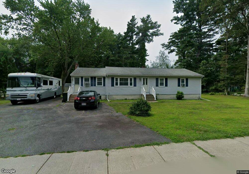
94 Freeman St Norton, MA 02766
Estimated Value: $559,064 - $662,000
2
Beds
2
Baths
1,520
Sq Ft
$404/Sq Ft
Est. Value
About This Home
This home is located at 94 Freeman St, Norton, MA 02766 and is currently estimated at $614,766, approximately $404 per square foot. 94 Freeman St is a home located in Bristol County with nearby schools including J.C. Solmonese Elementary School, Henri A. Yelle Elementary School, and Norton Middle School.
Create a Home Valuation Report for This Property
The Home Valuation Report is an in-depth analysis detailing your home's value as well as a comparison with similar homes in the area
Home Values in the Area
Average Home Value in this Area
Tax History
| Year | Tax Paid | Tax Assessment Tax Assessment Total Assessment is a certain percentage of the fair market value that is determined by local assessors to be the total taxable value of land and additions on the property. | Land | Improvement |
|---|---|---|---|---|
| 2025 | $59 | $457,800 | $181,900 | $275,900 |
| 2024 | $5,522 | $426,400 | $173,200 | $253,200 |
| 2023 | $5,228 | $402,500 | $163,400 | $239,100 |
| 2022 | $5,107 | $358,100 | $148,500 | $209,600 |
| 2021 | $2,620 | $315,600 | $141,500 | $174,100 |
| 2020 | $5,116 | $308,900 | $137,300 | $171,600 |
| 2019 | $4,388 | $294,500 | $132,100 | $162,400 |
| 2018 | $4,258 | $280,900 | $132,100 | $148,800 |
| 2017 | $4,148 | $269,900 | $132,100 | $137,800 |
| 2016 | $3,881 | $248,600 | $132,100 | $116,500 |
| 2015 | $3,743 | $243,200 | $129,500 | $113,700 |
| 2014 | $3,586 | $233,300 | $123,300 | $110,000 |
Source: Public Records
Map
Nearby Homes
- 93 Mansfield Ave
- 5 Robin Cir Unit 5
- 1 Robin Cir Unit 2
- 27 Smith St Unit 11
- 157 Mansfield Ave Unit 14
- 95 Godfrey Dr
- 65 Godfrey Dr Unit 65
- 10 Ridge Rd
- 143 Oak St Unit 10
- 250 Mansfield Ave Unit 11
- 6 Rumford Rd
- 21 Juniper Rd
- 268 Reservoir St
- 26 Barrows Ct
- 20 Lloyd Cir Unit 32
- 14 Lloyd Cir Unit 29
- 0 Brook Pkwy
- 34R Pine St
- 34 Barrows St
- 0 Cobb St
Your Personal Tour Guide
Ask me questions while you tour the home.