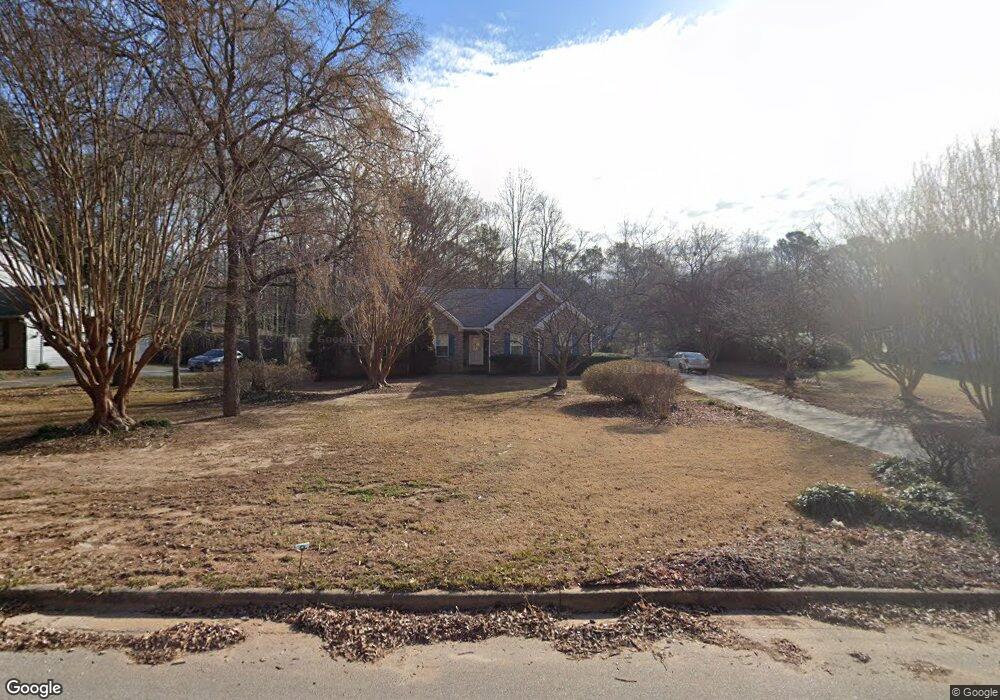
94 Lakeview Ln Unit 22 Stockbridge, GA 30281
Estimated Value: $277,707 - $309,000
3
Beds
2
Baths
1,632
Sq Ft
$177/Sq Ft
Est. Value
About This Home
This home is located at 94 Lakeview Ln Unit 22, Stockbridge, GA 30281 and is currently estimated at $289,177, approximately $177 per square foot. 94 Lakeview Ln Unit 22 is a home located in Henry County with nearby schools including Austin Road Elementary School, Austin Road Middle School, and Woodland High School.
Ownership History
Date
Name
Owned For
Owner Type
Purchase Details
Closed on
Jun 25, 2021
Sold by
Marsh Rhonda J
Bought by
Richardson Anthony
Current Estimated Value
Home Financials for this Owner
Home Financials are based on the most recent Mortgage that was taken out on this home.
Original Mortgage
$216,015
Outstanding Balance
$196,000
Interest Rate
2.9%
Mortgage Type
FHA
Estimated Equity
$93,177
Purchase Details
Closed on
Aug 29, 2014
Sold by
Courson R0bert J
Bought by
Marsh Rhonda J
Home Financials for this Owner
Home Financials are based on the most recent Mortgage that was taken out on this home.
Original Mortgage
$105,982
Interest Rate
3.87%
Mortgage Type
FHA
Create a Home Valuation Report for This Property
The Home Valuation Report is an in-depth analysis detailing your home's value as well as a comparison with similar homes in the area
Home Values in the Area
Average Home Value in this Area
Purchase History
| Date | Buyer | Sale Price | Title Company |
|---|---|---|---|
| Richardson Anthony | $235,000 | -- | |
| Marsh Rhonda J | $124,000 | -- |
Source: Public Records
Mortgage History
| Date | Status | Borrower | Loan Amount |
|---|---|---|---|
| Open | Richardson Anthony | $216,015 | |
| Previous Owner | Marsh Rhonda J | $105,982 |
Source: Public Records
Tax History Compared to Growth
Tax History
| Year | Tax Paid | Tax Assessment Tax Assessment Total Assessment is a certain percentage of the fair market value that is determined by local assessors to be the total taxable value of land and additions on the property. | Land | Improvement |
|---|---|---|---|---|
| 2025 | $84 | $128,360 | $21,600 | $106,760 |
| 2024 | $84 | $121,200 | $21,600 | $99,600 |
| 2023 | $832 | $116,520 | $19,200 | $97,320 |
| 2022 | $975 | $94,000 | $13,912 | $80,088 |
| 2021 | $2,114 | $75,000 | $14,400 | $60,600 |
| 2020 | $1,817 | $62,400 | $9,600 | $52,800 |
| 2019 | $1,747 | $59,440 | $9,600 | $49,840 |
| 2018 | $1,675 | $56,400 | $9,600 | $46,800 |
| 2016 | $1,463 | $47,400 | $9,600 | $37,800 |
| 2015 | $1,439 | $45,280 | $7,200 | $38,080 |
| 2014 | $426 | $36,000 | $6,240 | $29,760 |
Source: Public Records
Map
Nearby Homes
- 40 Lake Ct
- 300 Redford Trail
- 208 Pauline Place
- 562 Patillo Rd
- 565 Patillo Rd
- 1080 Gardner Rd
- 491 Thurman Rd Unit TRACT C
- 313 Ashborough Place
- 106 Bob White Dr
- 125 Bob White Dr
- 204 Benefield Ct
- 105 Bobolink Dr
- 216 Johns Creek Ln
- 200 Johns Creek Ln
- 108 Hilltop Cir
- 453 Azalea Dr
- 418 Honeysuckle Ln
- 389 Young James Cir
- 94 Lakeview Ln
- 96 Lakeview Ln Unit 5
- 90 Lakeview Ln
- 100 Lakeview Ln
- 93 Lakeview Ln Unit 4
- 86 Lakeview Ln
- 95 Lakeview Ln Unit 5
- 91 Lakeview Ln
- 108 Lakeview Ln
- 97 Lakeview Ln
- 87 Lakeview Ln
- 80 Lakeview Ln Unit 4
- 103 Lakeview Ln
- 47 Lake Ct
- 345 Redford Trail
- 53 Lake Ct
- 341 Redford Trail
- 110 Lakeview Ln Unit 5
- 35 Lake Ct
- 85 Lakeview Ln