Estimated Value: $338,000 - $428,000
3
Beds
1
Bath
1,836
Sq Ft
$213/Sq Ft
Est. Value
About This Home
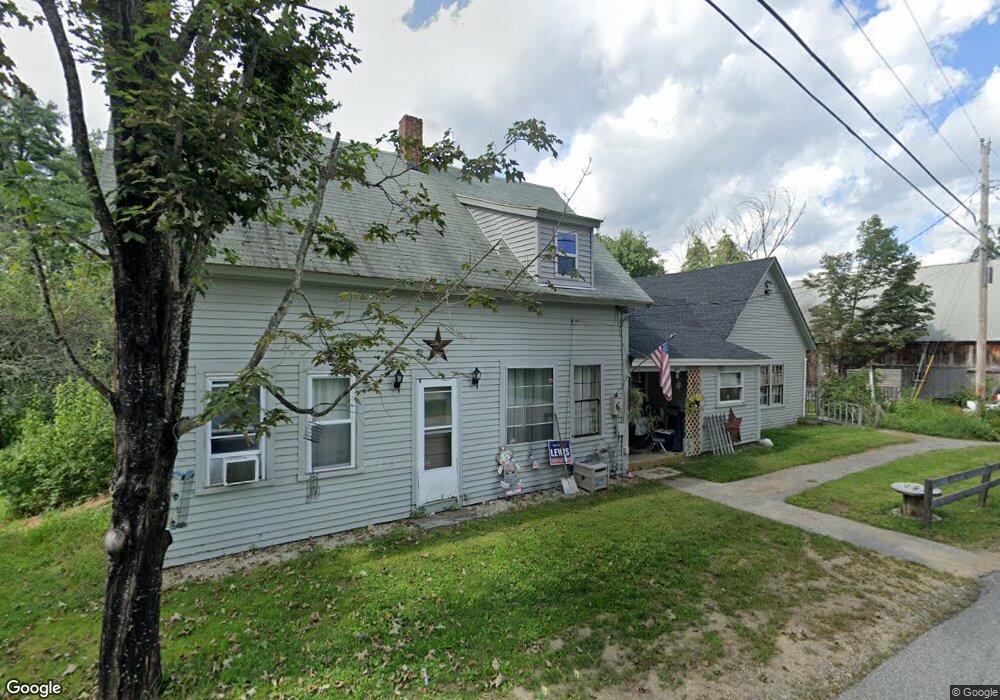
This home is located at 94 River Rd, Epsom, NH 03234 and is currently estimated at $390,339, approximately $212 per square foot. 94 River Rd is a home located in Merrimack County with nearby schools including Epsom Central School, Epsom Better Buddies, and Cornerstone Christian Academy.
Ownership History
Date
Name
Owned For
Owner Type
Purchase Details
Closed on
Jul 17, 2020
Sold by
Emery Timothy M
Bought by
Bennett Todd M
Current Estimated Value
Home Financials for this Owner
Home Financials are based on the most recent Mortgage that was taken out on this home.
Original Mortgage
$140,000
Outstanding Balance
$124,143
Interest Rate
3.1%
Mortgage Type
Purchase Money Mortgage
Estimated Equity
$266,196
Purchase Details
Closed on
Nov 5, 2008
Sold by
Mack Carole H
Bought by
Emery Timothy M
Create a Home Valuation Report for This Property
The Home Valuation Report is an in-depth analysis detailing your home's value as well as a comparison with similar homes in the area
Home Values in the Area
Average Home Value in this Area
Purchase History
| Date | Buyer | Sale Price | Title Company |
|---|---|---|---|
| Bennett Todd M | $175,000 | None Available | |
| Emery Timothy M | $30,000 | -- |
Source: Public Records
Mortgage History
| Date | Status | Borrower | Loan Amount |
|---|---|---|---|
| Open | Bennett Todd M | $140,000 | |
| Previous Owner | Emery Timothy M | $192,000 |
Source: Public Records
Tax History
| Year | Tax Paid | Tax Assessment Tax Assessment Total Assessment is a certain percentage of the fair market value that is determined by local assessors to be the total taxable value of land and additions on the property. | Land | Improvement |
|---|---|---|---|---|
| 2024 | $6,580 | $247,000 | $99,700 | $147,300 |
| 2023 | $5,746 | $233,300 | $99,700 | $133,600 |
| 2022 | $5,562 | $233,300 | $99,700 | $133,600 |
| 2021 | $5,515 | $233,300 | $99,700 | $133,600 |
| 2020 | $5,093 | $233,300 | $99,700 | $133,600 |
| 2019 | $5,098 | $188,200 | $82,500 | $105,700 |
| 2018 | $4,888 | $188,200 | $82,500 | $105,700 |
| 2017 | $4,831 | $188,200 | $82,500 | $105,700 |
| 2016 | $4,711 | $188,200 | $82,500 | $105,700 |
| 2015 | $4,483 | $188,200 | $82,500 | $105,700 |
| 2014 | $3,951 | $177,500 | $70,000 | $107,500 |
| 2013 | $4,151 | $183,900 | $70,000 | $113,900 |
Source: Public Records
Map
Nearby Homes
- 9 Princess Ln
- 2 Archer Cir
- 11 Nash Ln
- 15 Nash Ln
- 0 Poor Town Rd Unit 4
- 14 Deer Ln
- 88 Old Town Road Extension
- 0 Dover Unit 33 & 35
- 27 Hillside Dr
- 28 Woodlawn Dr
- 5 Old Turnpike Rd
- 14 Short Falls Rd
- 333 Dover Rd
- 8 Bush Ave
- 1 Jefferson Ave
- 821 Cross Country Rd
- 5 Catamount Hill Dr
- 80 Center Hill Rd
- 365 Deerfield Rd
- 157 Old Turnpike Rd
Your Personal Tour Guide
Ask me questions while you tour the home.