94 Shore Dr W Unit 4B Mashpee, MA 02649
New Seabury-Popponesset Island NeighborhoodEstimated Value: $579,854 - $784,000
2
Beds
2
Baths
1,356
Sq Ft
$489/Sq Ft
Est. Value
About This Home
This home is located at 94 Shore Dr W Unit 4B, Mashpee, MA 02649 and is currently estimated at $663,714, approximately $489 per square foot. 94 Shore Dr W Unit 4B is a home located in Barnstable County with nearby schools including Kenneth C. Coombs School, Quashnet School, and Mashpee Middle School.
Ownership History
Date
Name
Owned For
Owner Type
Purchase Details
Closed on
Dec 4, 2020
Sold by
Wechsler Beth
Bought by
Petitt Stephen F and Shangina-Petitt Julia
Current Estimated Value
Home Financials for this Owner
Home Financials are based on the most recent Mortgage that was taken out on this home.
Original Mortgage
$277,425
Outstanding Balance
$247,431
Interest Rate
2.8%
Mortgage Type
New Conventional
Estimated Equity
$416,283
Purchase Details
Closed on
Aug 14, 2009
Sold by
Wechsler Muriel
Bought by
Wechsler Muriel
Purchase Details
Closed on
Apr 11, 2005
Sold by
Wechsler Beth
Bought by
Wechsler Muriel
Purchase Details
Closed on
Jun 10, 2002
Sold by
Bft Rt
Bought by
Wechsler Beth
Home Financials for this Owner
Home Financials are based on the most recent Mortgage that was taken out on this home.
Original Mortgage
$130,000
Interest Rate
6.9%
Mortgage Type
Purchase Money Mortgage
Create a Home Valuation Report for This Property
The Home Valuation Report is an in-depth analysis detailing your home's value as well as a comparison with similar homes in the area
Home Values in the Area
Average Home Value in this Area
Purchase History
| Date | Buyer | Sale Price | Title Company |
|---|---|---|---|
| Petitt Stephen F | $369,900 | None Available | |
| Wechsler Muriel | -- | -- | |
| Wechsler Muriel | -- | -- | |
| Wechsler Muriel | $360,000 | -- | |
| Wechsler Muriel | $360,000 | -- | |
| Wechsler Beth | $176,000 | -- |
Source: Public Records
Mortgage History
| Date | Status | Borrower | Loan Amount |
|---|---|---|---|
| Open | Petitt Stephen F | $277,425 | |
| Previous Owner | Wechsler Beth | $130,000 |
Source: Public Records
Tax History Compared to Growth
Tax History
| Year | Tax Paid | Tax Assessment Tax Assessment Total Assessment is a certain percentage of the fair market value that is determined by local assessors to be the total taxable value of land and additions on the property. | Land | Improvement |
|---|---|---|---|---|
| 2025 | $3,002 | $453,400 | $0 | $453,400 |
| 2024 | $2,780 | $432,300 | $0 | $432,300 |
| 2023 | $2,723 | $388,500 | $0 | $388,500 |
| 2022 | $2,839 | $347,500 | $0 | $347,500 |
| 2021 | $2,983 | $328,900 | $0 | $328,900 |
| 2020 | $2,957 | $325,300 | $0 | $325,300 |
| 2019 | $2,869 | $317,000 | $0 | $317,000 |
| 2018 | $2,377 | $266,500 | $0 | $266,500 |
| 2017 | $2,611 | $284,100 | $0 | $284,100 |
| 2016 | $2,664 | $288,300 | $0 | $288,300 |
| 2015 | $3,151 | $345,900 | $0 | $345,900 |
| 2014 | $3,094 | $329,500 | $0 | $329,500 |
Source: Public Records
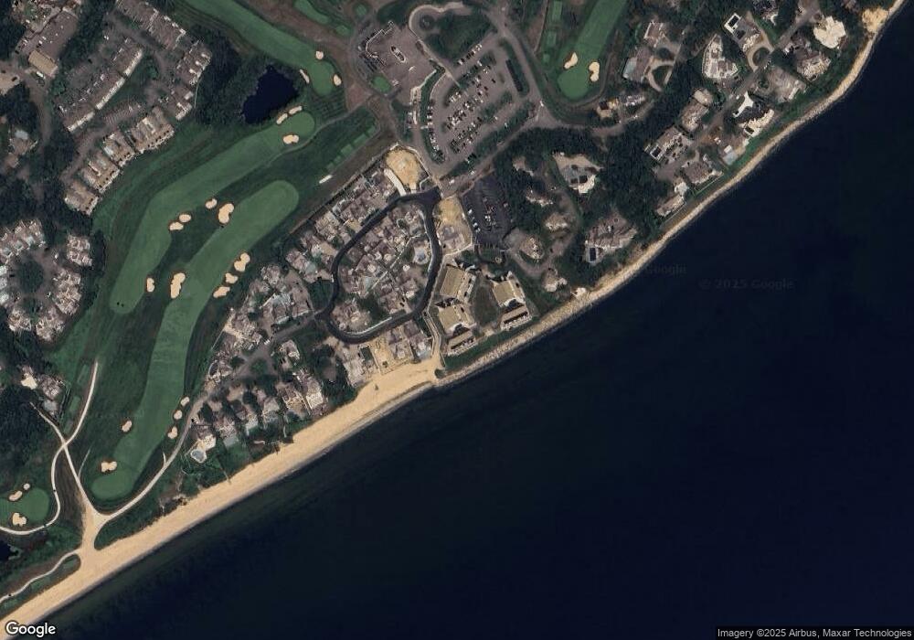
Map
Nearby Homes
- 90 Shore Dr W Unit 16D
- 40 Triton Way
- 89 Troon Way
- 236 Glenneagle Dr
- 4 Lanyard Way Unit 7242C
- 25 Milestone Way Unit 25
- 25 Milestone Way
- 4 Colemans Way Unit 702
- 4 Colemans Way
- 33 Landmark Ave
- 2 Brant Rock Rd Unit 722
- 2 Brant Rock Rd
- 6 Hammock Pond Rd Unit 6
- 6 Hammock Pond Rd
- 7 Brassie Way
- 3 Hyannis Point Rd Unit 790
- 3 Hyannis Point Rd
- 51 Fairway Ln
- 16 Slice Way
- 3 Niblick Ln
- 94 Shore Dr W Unit 3205
- 94 Shore Dr W Unit 9B
- 94 Shore Dr W Unit 8B
- 94 Shore Dr W Unit 8A
- 94 Shore Dr W Unit 7B
- 94 Shore Dr W Unit 7A
- 94 Shore Dr W Unit 6C
- 94 Shore Dr W Unit 6B
- 94 Shore Dr W Unit 6A
- 94 Shore Dr W Unit 5C
- 94 Shore Dr W Unit 5B
- 94 Shore Dr W Unit 5A
- 94 Shore Dr W Unit 4C
- 94 Shore Dr W Unit 4A
- 94 Shore Dr W Unit 3C
- 94 Shore Dr W Unit 3B
- 94 Shore Dr W Unit 3A
- 94 Shore Dr W Unit 2G
- 94 Shore Dr W Unit 2F
- 94 Shore Dr W Unit 2E