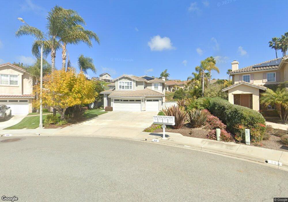
940 Anatra Ct Carlsbad, CA 92011
Aviara NeighborhoodEstimated Value: $2,052,000 - $2,539,000
4
Beds
3
Baths
2,658
Sq Ft
$833/Sq Ft
Est. Value
About This Home
This home is located at 940 Anatra Ct, Carlsbad, CA 92011 and is currently estimated at $2,214,903, approximately $833 per square foot. 940 Anatra Ct is a home located in San Diego County with nearby schools including Aviara Oaks Elementary, Aviara Oaks Middle, and Carlsbad High School.
Ownership History
Date
Name
Owned For
Owner Type
Purchase Details
Closed on
Nov 6, 2002
Sold by
Congleton Michael W and Congleton Carol Ann
Bought by
Congleton Michael W and Congleton Carol Ann
Current Estimated Value
Purchase Details
Closed on
Jan 15, 1998
Sold by
Brookfield Broccato Inc
Bought by
Congleton Michael W and Congleton Carol Ann
Home Financials for this Owner
Home Financials are based on the most recent Mortgage that was taken out on this home.
Original Mortgage
$307,800
Interest Rate
6.99%
Create a Home Valuation Report for This Property
The Home Valuation Report is an in-depth analysis detailing your home's value as well as a comparison with similar homes in the area
Home Values in the Area
Average Home Value in this Area
Purchase History
| Date | Buyer | Sale Price | Title Company |
|---|---|---|---|
| Congleton Michael W | -- | -- | |
| Congleton Michael W | $385,000 | First American Title |
Source: Public Records
Mortgage History
| Date | Status | Borrower | Loan Amount |
|---|---|---|---|
| Previous Owner | Congleton Michael W | $307,800 |
Source: Public Records
Tax History
| Year | Tax Paid | Tax Assessment Tax Assessment Total Assessment is a certain percentage of the fair market value that is determined by local assessors to be the total taxable value of land and additions on the property. | Land | Improvement |
|---|---|---|---|---|
| 2025 | $6,474 | $614,413 | $199,584 | $414,829 |
| 2024 | $6,474 | $602,367 | $195,671 | $406,696 |
| 2023 | $6,439 | $590,557 | $191,835 | $398,722 |
| 2022 | $6,340 | $578,978 | $188,074 | $390,904 |
| 2021 | $6,291 | $567,627 | $184,387 | $383,240 |
| 2020 | $6,248 | $561,808 | $182,497 | $379,311 |
| 2019 | $6,136 | $550,793 | $178,919 | $371,874 |
| 2018 | $5,901 | $539,994 | $175,411 | $364,583 |
| 2017 | $5,813 | $529,407 | $171,972 | $357,435 |
| 2016 | $5,576 | $519,027 | $168,600 | $350,427 |
| 2015 | $5,552 | $511,232 | $166,068 | $345,164 |
| 2014 | $6,003 | $501,218 | $162,815 | $338,403 |
Source: Public Records
Map
Nearby Homes
- 7215 Daffodil Place
- 7137 Rockrose Terrace
- 7102 Linden Terrace
- 7457 Neptune Dr
- 7011 Wildrose Terrace
- 6990 Batiquitos Dr Unit 1
- 7009 Wildrose Terrace
- 948 Alyssum Rd
- 857 Violet Ct
- 7521 Navigator Cir
- 6927 Wildrose Terrace
- 1341 Mallard Ct
- 7128 Tatler Rd
- 7302 Golden Star Ln
- 7354 Escallonia Ct
- 7025 San Bartolo St Unit 42
- 7243 San Luis St Unit 257
- 7218 San Lucas St Unit 189
- 7207 Santa Barbara St Unit 154
- 7008 San Bartolo St Unit 27
Your Personal Tour Guide
Ask me questions while you tour the home.