9400 Highway 251 Pocahontas, AR 72455
Estimated Value: $137,000 - $389,314
--
Bed
2
Baths
1,932
Sq Ft
$131/Sq Ft
Est. Value
About This Home
This home is located at 9400 Highway 251, Pocahontas, AR 72455 and is currently estimated at $253,438, approximately $131 per square foot. 9400 Highway 251 is a home located in Randolph County with nearby schools including Maynard Elementary School and Maynard High School.
Ownership History
Date
Name
Owned For
Owner Type
Purchase Details
Closed on
Feb 23, 2001
Bought by
Lenderman To Broken Arrow Ranch
Current Estimated Value
Purchase Details
Closed on
Jul 26, 2000
Bought by
D-Rod-D To Lenderman
Purchase Details
Closed on
Mar 31, 2000
Bought by
Warner Trustees To D-Rod-D Inc
Purchase Details
Closed on
May 1, 1990
Bought by
Warner John M and Warner Roberta F
Create a Home Valuation Report for This Property
The Home Valuation Report is an in-depth analysis detailing your home's value as well as a comparison with similar homes in the area
Home Values in the Area
Average Home Value in this Area
Purchase History
| Date | Buyer | Sale Price | Title Company |
|---|---|---|---|
| Lenderman To Broken Arrow Ranch | -- | -- | |
| D-Rod-D To Lenderman | $260,000 | -- | |
| Warner Trustees To D-Rod-D Inc | $200,000 | -- | |
| Warner To Warner Trustees | -- | -- | |
| Warner John M | -- | -- |
Source: Public Records
Tax History Compared to Growth
Tax History
| Year | Tax Paid | Tax Assessment Tax Assessment Total Assessment is a certain percentage of the fair market value that is determined by local assessors to be the total taxable value of land and additions on the property. | Land | Improvement |
|---|---|---|---|---|
| 2025 | $1,359 | $33,380 | $2,560 | $30,820 |
| 2024 | $1,359 | $33,380 | $2,560 | $30,820 |
| 2023 | $1,115 | $27,390 | $2,560 | $24,830 |
| 2022 | $1,125 | $27,390 | $2,560 | $24,830 |
| 2021 | $1,125 | $27,390 | $2,560 | $24,830 |
| 2020 | $1,185 | $28,865 | $2,805 | $26,060 |
| 2019 | $1,175 | $28,865 | $2,805 | $26,060 |
| 2018 | $1,185 | $28,865 | $2,805 | $26,060 |
| 2017 | $1,060 | $26,045 | $2,695 | $23,350 |
| 2016 | $956 | $26,045 | $2,695 | $23,350 |
| 2015 | $956 | $26,045 | $2,695 | $23,350 |
| 2014 | $865 | $24,925 | $1,575 | $23,350 |
Source: Public Records
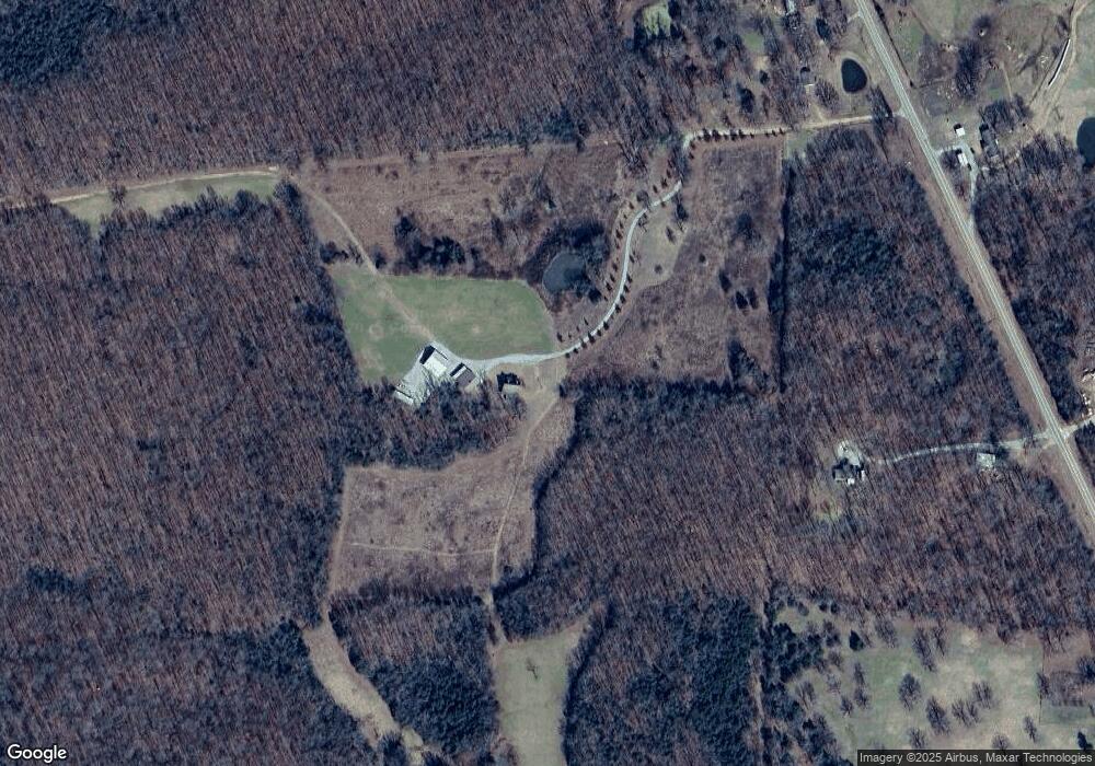
Map
Nearby Homes
- 1580 Sierra Loop
- 8673 Highway 251
- 86 Palestine Rd
- 86 Acres Palestine Rd
- TBD Brakebill Rd
- 702 Fox Run Trail
- TBD Saienni Rd
- 0 Blackwell Den Rd
- 43 Cheyenne Trail
- 1023 Mosley Rd
- 0 County Road 529
- 152 Lentz St
- 146 Alicia Cove
- 13321 Arkansas 115
- 917 Hummingbird Trail
- 35 Ingram St
- 13322 Arkansas 115
- 77 Mock St
- 1815 Stubblefield Rd
- TBD Springview Rd
- 7910 Highway 251
- 7843 Highway 251
- 7909 Highway 251
- 226 Sierra Loop
- 7703 Highway 251
- 307 Sierra Loop
- 157 Nellie Joe Ln
- 7496 Highway 251
- 37 Sleepy Hollow Trail
- 449 Nellie Joe Ln
- 8301 Highway 251
- 7346 Highway 251
- 7307 Highway 251
- 627 Sierra Loop
- 3428 Sierra Loop
- 595 Highway 231 W
- 7120 Highway 251
- 317 Highway 231 W
- 353 Sleepy Hollow Trail
- 1 Palestine Rd