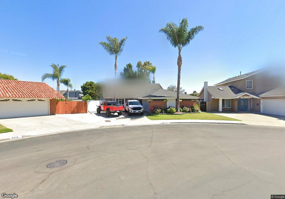
9402 Cloudhaven Dr Huntington Beach, CA 92646
Southeast NeighborhoodEstimated Value: $1,483,000 - $1,699,000
4
Beds
4
Baths
2,127
Sq Ft
$757/Sq Ft
Est. Value
About This Home
This home is located at 9402 Cloudhaven Dr, Huntington Beach, CA 92646 and is currently estimated at $1,611,169, approximately $757 per square foot. 9402 Cloudhaven Dr is a home located in Orange County with nearby schools including Ralph E. Hawes Elementary School, Isaac L. Sowers Middle School, and Edison High School.
Ownership History
Date
Name
Owned For
Owner Type
Purchase Details
Closed on
Feb 19, 1997
Sold by
Hess Barnes Sandra L
Bought by
Bozanich Patrick Joseph and Bozanich Lorie Lynn
Current Estimated Value
Home Financials for this Owner
Home Financials are based on the most recent Mortgage that was taken out on this home.
Original Mortgage
$204,400
Interest Rate
7.74%
Create a Home Valuation Report for This Property
The Home Valuation Report is an in-depth analysis detailing your home's value as well as a comparison with similar homes in the area
Home Values in the Area
Average Home Value in this Area
Purchase History
| Date | Buyer | Sale Price | Title Company |
|---|---|---|---|
| Bozanich Patrick Joseph | $255,500 | Gateway Title |
Source: Public Records
Mortgage History
| Date | Status | Borrower | Loan Amount |
|---|---|---|---|
| Closed | Bozanich Patrick Joseph | $204,400 |
Source: Public Records
Tax History Compared to Growth
Tax History
| Year | Tax Paid | Tax Assessment Tax Assessment Total Assessment is a certain percentage of the fair market value that is determined by local assessors to be the total taxable value of land and additions on the property. | Land | Improvement |
|---|---|---|---|---|
| 2025 | $5,386 | $469,202 | $265,276 | $203,926 |
| 2024 | $5,386 | $460,002 | $260,074 | $199,928 |
| 2023 | $5,263 | $450,983 | $254,975 | $196,008 |
| 2022 | $5,123 | $442,141 | $249,976 | $192,165 |
| 2021 | $5,028 | $433,472 | $245,074 | $188,398 |
| 2020 | $4,994 | $429,028 | $242,561 | $186,467 |
| 2019 | $4,935 | $420,616 | $237,805 | $182,811 |
| 2018 | $4,858 | $412,369 | $233,142 | $179,227 |
| 2017 | $4,792 | $404,284 | $228,571 | $175,713 |
| 2016 | $4,583 | $396,357 | $224,089 | $172,268 |
| 2015 | $4,537 | $390,404 | $220,723 | $169,681 |
| 2014 | $4,441 | $382,757 | $216,399 | $166,358 |
Source: Public Records
Map
Nearby Homes
- 9522 Yellowstone Dr
- 20862 Lancelot Ln
- 20258 Lantana Dr
- 9812 La Cresta Cir
- 20111 Marina Ln
- 20071 Moontide Cir
- 8932 Amador Cir Unit 1309B
- 9882 Hot Springs Dr
- 9001 Oceanwood Dr
- 9221 Belcaro Dr
- 20392 Redwood Ln
- 8886 Plumas Cir Unit 1124-A
- 8856 Sutter Cir Unit 522A
- 8856 526C Sutter
- 9695 Adams Ave
- 19901 Burnley Ln
- 9667 Durham Dr
- 8646 Butte Cir Unit 607E
- 19846 Lures Ln
- 21221 Hillsdale Ln
- 9412 Cloudhaven Dr
- 9392 Cloudhaven Dr
- 20452 Tideland Ln
- 9382 Cloudhaven Dr
- 20502 Cohasset Ln
- 20441 Tideland Ln
- 17952 Auger Ln
- 20501 Cohasset Ln
- 9422 Coastland Dr
- 20501 Montauk Cir
- 20522 Cohasset Ln
- 9372 Cloudhaven Dr
- 9432 Coastland Dr
- 20442 Anchor Cir
- 20421 Tideland Ln
- 20521 Cohasset Ln
- 20521 Montauk Cir
- 9442 Coastland Dr
- 20532 Cohasset Ln
- 20422 Anchor Cir