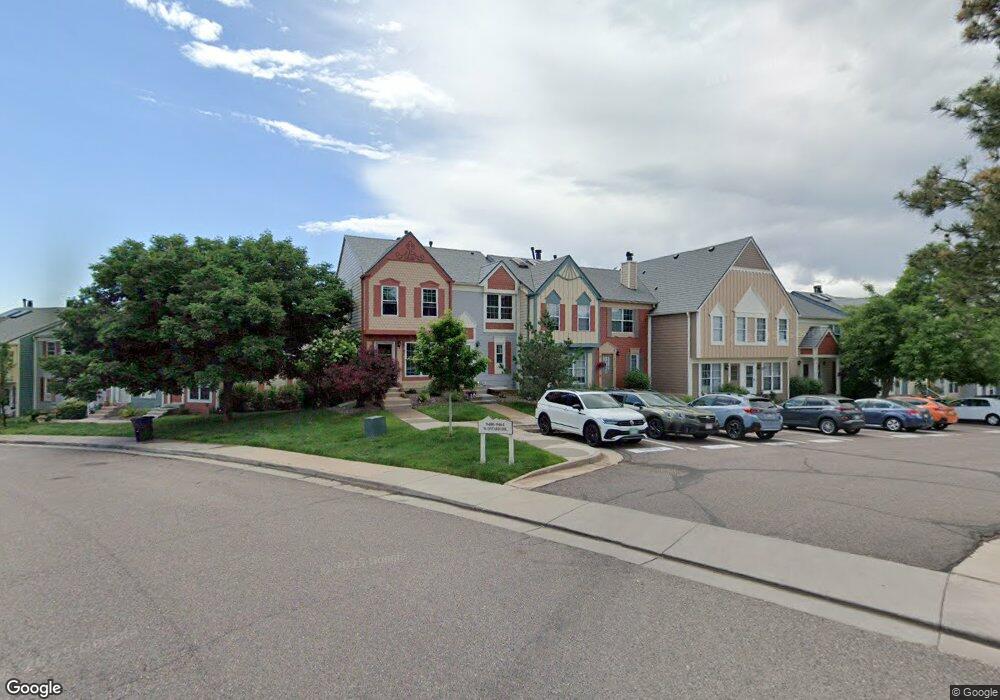
9404 W Ontario Dr Littleton, CO 80128
Stony Creek NeighborhoodEstimated Value: $391,000 - $415,401
2
Beds
3
Baths
1,624
Sq Ft
$249/Sq Ft
Est. Value
About This Home
This home is located at 9404 W Ontario Dr, Littleton, CO 80128 and is currently estimated at $404,600, approximately $249 per square foot. 9404 W Ontario Dr is a home located in Jefferson County with nearby schools including Stony Creek Elementary School, Deer Creek Middle School, and Chatfield High School.
Ownership History
Date
Name
Owned For
Owner Type
Purchase Details
Closed on
Aug 13, 2021
Sold by
Cox Justin
Bought by
Bao Jing
Current Estimated Value
Home Financials for this Owner
Home Financials are based on the most recent Mortgage that was taken out on this home.
Original Mortgage
$265,000
Outstanding Balance
$240,237
Interest Rate
2.7%
Mortgage Type
New Conventional
Estimated Equity
$164,363
Purchase Details
Closed on
Apr 23, 2013
Sold by
Cox Justin and Cox Sara S
Bought by
Cox Justin
Home Financials for this Owner
Home Financials are based on the most recent Mortgage that was taken out on this home.
Original Mortgage
$146,656
Interest Rate
3.5%
Mortgage Type
FHA
Purchase Details
Closed on
Jan 8, 2010
Sold by
Rowan Rebecca and Rowan Dorothy A
Bought by
Cox Justin and Cox Sara S
Home Financials for this Owner
Home Financials are based on the most recent Mortgage that was taken out on this home.
Original Mortgage
$150,228
Interest Rate
4.8%
Mortgage Type
FHA
Purchase Details
Closed on
Dec 29, 2003
Sold by
Hudes Michael P and Benson Marie E
Bought by
Rowan Rebecca and Rowan Dorothy A
Home Financials for this Owner
Home Financials are based on the most recent Mortgage that was taken out on this home.
Original Mortgage
$164,318
Interest Rate
5.86%
Mortgage Type
FHA
Purchase Details
Closed on
Oct 11, 2002
Sold by
Kuester Kathryn A
Bought by
Hudes Michael P and Benson Marie E
Home Financials for this Owner
Home Financials are based on the most recent Mortgage that was taken out on this home.
Original Mortgage
$159,989
Interest Rate
6.09%
Mortgage Type
FHA
Purchase Details
Closed on
Feb 26, 1999
Sold by
Bennett Charles J and Bennett Barbara J
Bought by
Kuester Kathryn A
Home Financials for this Owner
Home Financials are based on the most recent Mortgage that was taken out on this home.
Original Mortgage
$111,554
Interest Rate
6.83%
Mortgage Type
FHA
Purchase Details
Closed on
Jul 31, 1998
Sold by
Bennett Charles J
Bought by
Bennett Charles J and Bennett Barbara J
Home Financials for this Owner
Home Financials are based on the most recent Mortgage that was taken out on this home.
Original Mortgage
$76,000
Interest Rate
6.95%
Create a Home Valuation Report for This Property
The Home Valuation Report is an in-depth analysis detailing your home's value as well as a comparison with similar homes in the area
Home Values in the Area
Average Home Value in this Area
Purchase History
| Date | Buyer | Sale Price | Title Company |
|---|---|---|---|
| Bao Jing | $360,000 | First American Title | |
| Cox Justin | -- | Cwt | |
| Cox Justin | $153,000 | Land Title Guarantee Company | |
| Rowan Rebecca | $166,900 | Land Title Guarantee Company | |
| Hudes Michael P | $162,500 | Land Title | |
| Kuester Kathryn A | $112,500 | -- | |
| Bennett Charles J | -- | -- |
Source: Public Records
Mortgage History
| Date | Status | Borrower | Loan Amount |
|---|---|---|---|
| Open | Bao Jing | $265,000 | |
| Previous Owner | Cox Justin | $146,656 | |
| Previous Owner | Cox Justin | $150,228 | |
| Previous Owner | Rowan Rebecca | $164,318 | |
| Previous Owner | Hudes Michael P | $159,989 | |
| Previous Owner | Kuester Kathryn A | $111,554 | |
| Previous Owner | Bennett Charles J | $76,000 |
Source: Public Records
Tax History Compared to Growth
Tax History
| Year | Tax Paid | Tax Assessment Tax Assessment Total Assessment is a certain percentage of the fair market value that is determined by local assessors to be the total taxable value of land and additions on the property. | Land | Improvement |
|---|---|---|---|---|
| 2024 | $2,186 | $22,322 | $6,030 | $16,292 |
| 2023 | $2,186 | $22,322 | $6,030 | $16,292 |
| 2022 | $2,030 | $20,353 | $4,170 | $16,183 |
| 2021 | $2,056 | $20,939 | $4,290 | $16,649 |
| 2020 | $2,241 | $20,131 | $4,290 | $15,841 |
| 2019 | $2,209 | $20,131 | $4,290 | $15,841 |
| 2018 | $1,851 | $15,946 | $3,600 | $12,346 |
| 2017 | $1,458 | $15,946 | $3,600 | $12,346 |
| 2016 | $1,567 | $13,914 | $3,184 | $10,730 |
| 2015 | $1,039 | $13,914 | $3,184 | $10,730 |
| 2014 | $1,319 | $10,285 | $2,229 | $8,056 |
Source: Public Records
Map
Nearby Homes
- 9448 W Plymouth Ave
- 6765 S Independence St
- 9423 W Ontario Dr
- 6763 S Independence St
- 6753 S Independence St
- 6751 S Independence St
- 6784 S Independence St
- 6766 S Holland Way
- 9364 W Coal Mine Ave
- 9100 W Portland Ave
- 6755 S Field St Unit 618
- 6755 S Field St Unit 623
- 6705 S Field St Unit 802
- 6705 S Field St Unit 801
- 9088 W Plymouth Ave
- 9519 W Coal Mine Ave Unit F
- 9603 W Euclid Dr
- 9505 W Coal Mine Ave Unit F
- 8878 W Plymouth Ave
- 7126 S Kline St
- 9406 W Ontario Dr
- 9402 W Ontario Dr
- 9400 W Ontario Dr
- 9408 W Ontario Dr
- 9410 W Ontario Dr
- 9412 W Ontario Dr
- 9388 W Ontario Dr
- 9414 W Ontario Dr
- 9386 W Ontario Dr
- 9416 W Ontario Dr
- 9384 W Ontario Dr
- 9418 W Ontario Dr
- 9382 W Ontario Dr
- 9420 W Ontario Dr
- 9380 W Ontario Dr
- 9422 W Ontario Dr
- 9378 W Ontario Dr
- 9424 W Ontario Dr
- 9426 W Ontario Dr
- 9464 W Ontario Dr