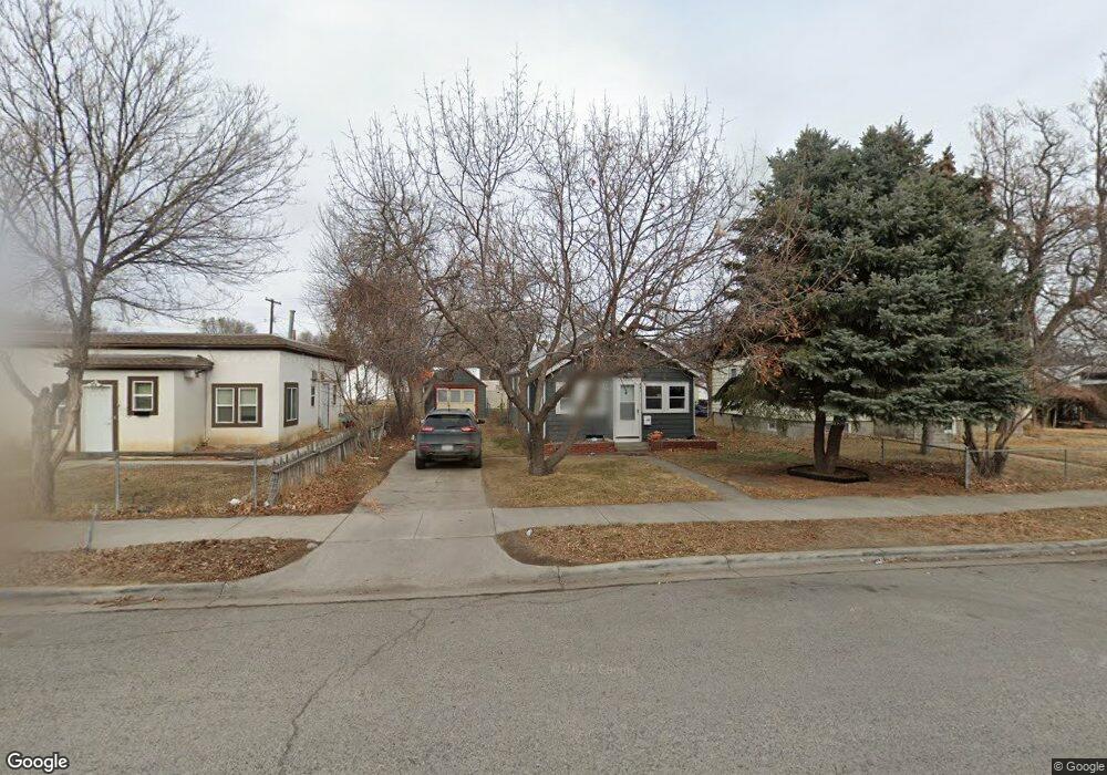
941 Howard Ave Billings, MT 59101
East Central Billings NeighborhoodEstimated Value: $227,000 - $255,000
2
Beds
1
Bath
1,160
Sq Ft
$207/Sq Ft
Est. Value
About This Home
This home is located at 941 Howard Ave, Billings, MT 59101 and is currently estimated at $240,292, approximately $207 per square foot. 941 Howard Ave is a home located in Yellowstone County with nearby schools including Washington School, Lewis & Clark Junior High School, and Billings Senior High School.
Ownership History
Date
Name
Owned For
Owner Type
Purchase Details
Closed on
Apr 22, 2024
Sold by
Smith Charles D and Bryan Virginia A
Bought by
Moser Elisabeth L
Current Estimated Value
Home Financials for this Owner
Home Financials are based on the most recent Mortgage that was taken out on this home.
Original Mortgage
$147,750
Outstanding Balance
$145,622
Interest Rate
6.74%
Mortgage Type
New Conventional
Estimated Equity
$99,297
Create a Home Valuation Report for This Property
The Home Valuation Report is an in-depth analysis detailing your home's value as well as a comparison with similar homes in the area
Home Values in the Area
Average Home Value in this Area
Purchase History
| Date | Buyer | Sale Price | Title Company |
|---|---|---|---|
| Moser Elisabeth L | -- | Stewart Title |
Source: Public Records
Mortgage History
| Date | Status | Borrower | Loan Amount |
|---|---|---|---|
| Open | Moser Elisabeth L | $147,750 |
Source: Public Records
Tax History Compared to Growth
Tax History
| Year | Tax Paid | Tax Assessment Tax Assessment Total Assessment is a certain percentage of the fair market value that is determined by local assessors to be the total taxable value of land and additions on the property. | Land | Improvement |
|---|---|---|---|---|
| 2025 | $1,923 | $214,600 | $37,400 | $177,200 |
| 2024 | $1,923 | $194,700 | $37,300 | $157,400 |
| 2023 | $2,142 | $218,200 | $37,300 | $180,900 |
| 2022 | $1,616 | $171,200 | $0 | $0 |
| 2021 | $1,828 | $171,200 | $0 | $0 |
| 2020 | $1,852 | $161,500 | $0 | $0 |
| 2019 | $1,770 | $161,500 | $0 | $0 |
| 2018 | $1,695 | $151,400 | $0 | $0 |
| 2017 | $1,402 | $151,400 | $0 | $0 |
| 2016 | $1,532 | $142,000 | $0 | $0 |
| 2015 | $1,498 | $142,000 | $0 | $0 |
| 2014 | $1,263 | $62,486 | $0 | $0 |
Source: Public Records
Map
Nearby Homes
- 927 Miles Ave
- 925 Miles Ave
- 1019 Miles Ave
- 812 Miles Ave
- 112 11th St W
- 1122 Howard Ave
- 1113 Lynn Ave
- 704 Terry Ave
- 1231 Saint Johns Ave
- 626 Cook Ave
- 618 & 620 Howard Ave
- 1212 Concord Dr
- 611 Custer Ave
- 626 Wyoming Ave
- 1256 & 1260 Yellowstone Ave
- 805 Clark Ave
- 141 S 12th St W
- 743 Clark Ave
- 1263 Yellowstone Ave
- 1214 Clark Ave