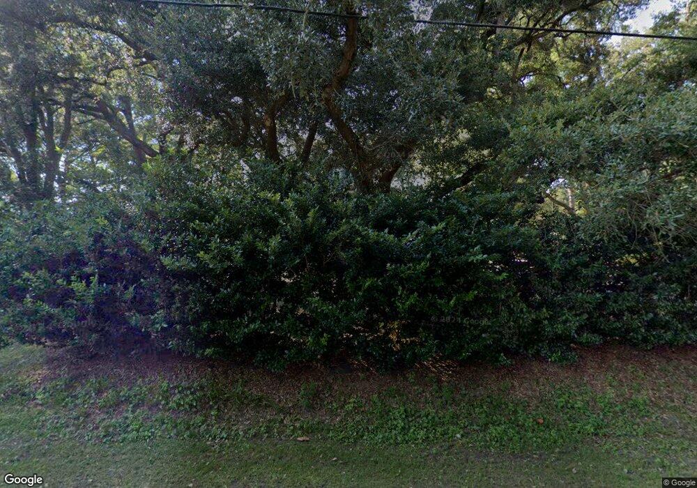
941 Julia St James Island, SC 29412
James Island NeighborhoodEstimated Value: $754,000 - $844,388
4
Beds
4
Baths
2,642
Sq Ft
$301/Sq Ft
Est. Value
About This Home
This home is located at 941 Julia St, James Island, SC 29412 and is currently estimated at $795,347, approximately $301 per square foot. 941 Julia St is a home located in Charleston County with nearby schools including James Island Elementary School, Camp Road Middle, and Septima P Clark Corporate Academy.
Ownership History
Date
Name
Owned For
Owner Type
Purchase Details
Closed on
Mar 22, 2013
Sold by
Basuto Llc
Bought by
Knight Preston E and Knight Carrie A
Current Estimated Value
Home Financials for this Owner
Home Financials are based on the most recent Mortgage that was taken out on this home.
Original Mortgage
$60,000
Interest Rate
3.57%
Mortgage Type
Credit Line Revolving
Purchase Details
Closed on
Feb 13, 2007
Sold by
Cooper Charles R and Cooper Christopher R
Bought by
Basuto Llc
Create a Home Valuation Report for This Property
The Home Valuation Report is an in-depth analysis detailing your home's value as well as a comparison with similar homes in the area
Home Values in the Area
Average Home Value in this Area
Purchase History
| Date | Buyer | Sale Price | Title Company |
|---|---|---|---|
| Knight Preston E | $75,000 | -- | |
| Basuto Llc | $115,000 | None Available |
Source: Public Records
Mortgage History
| Date | Status | Borrower | Loan Amount |
|---|---|---|---|
| Closed | Knight Preston E | $60,000 |
Source: Public Records
Tax History Compared to Growth
Tax History
| Year | Tax Paid | Tax Assessment Tax Assessment Total Assessment is a certain percentage of the fair market value that is determined by local assessors to be the total taxable value of land and additions on the property. | Land | Improvement |
|---|---|---|---|---|
| 2024 | $1,735 | $14,490 | $0 | $0 |
| 2023 | $1,735 | $14,490 | $0 | $0 |
| 2022 | $1,579 | $14,490 | $0 | $0 |
| 2021 | $1,692 | $14,490 | $0 | $0 |
| 2020 | $1,710 | $14,490 | $0 | $0 |
| 2019 | $1,561 | $12,600 | $0 | $0 |
| 2017 | $1,658 | $12,600 | $0 | $0 |
| 2016 | $4,648 | $12,600 | $0 | $0 |
| 2015 | $4,335 | $18,900 | $0 | $0 |
| 2014 | $1,016 | $0 | $0 | $0 |
| 2011 | -- | $0 | $0 | $0 |
Source: Public Records
Map
Nearby Homes
- 1047 Bradford Ave
- 1030 Pauline Ave
- 1814 S Mayflower Dr
- 21 Rivers Point Row Unit 11 C
- 21 Rivers Point Row Unit 3C
- 1815 Walsingham Way
- 1 S Anderson Ave
- 1827 S Mayflower Dr
- 47 Rivers Point Row Unit 3
- 1014 Arborwood Dr
- 1453 Camp Rd
- 1039 Yorktown Dr
- 17 S Anderson Ave Unit A,B,C, D
- 5 Poets Corner
- 1056 Yorktown Dr
- 1734 Combahee St
- 35 Rivers Point Row Unit A
- 9 Maplecrest Dr
- 14 Maplecrest Dr
- 1418 Kentwood Cir
- 935 Julia St
- 1602 Chandler St
- 947 Julia St
- 942 Bradford Ave
- 931 Julia St
- 1606 Chandler St
- 938 Bradford Ave
- 1540 Chandler St
- 940 Julia St
- 934 Julia St
- 932 Bradford Ave
- 950 Bradford Ave
- 925 Julia St
- 930 Julia St
- 1536 Chandler St
- 926 Bradford Ave
- 1551 Chandler St
- 924 Julia St
- 951 Bradford Ave
- 919 Julia St
