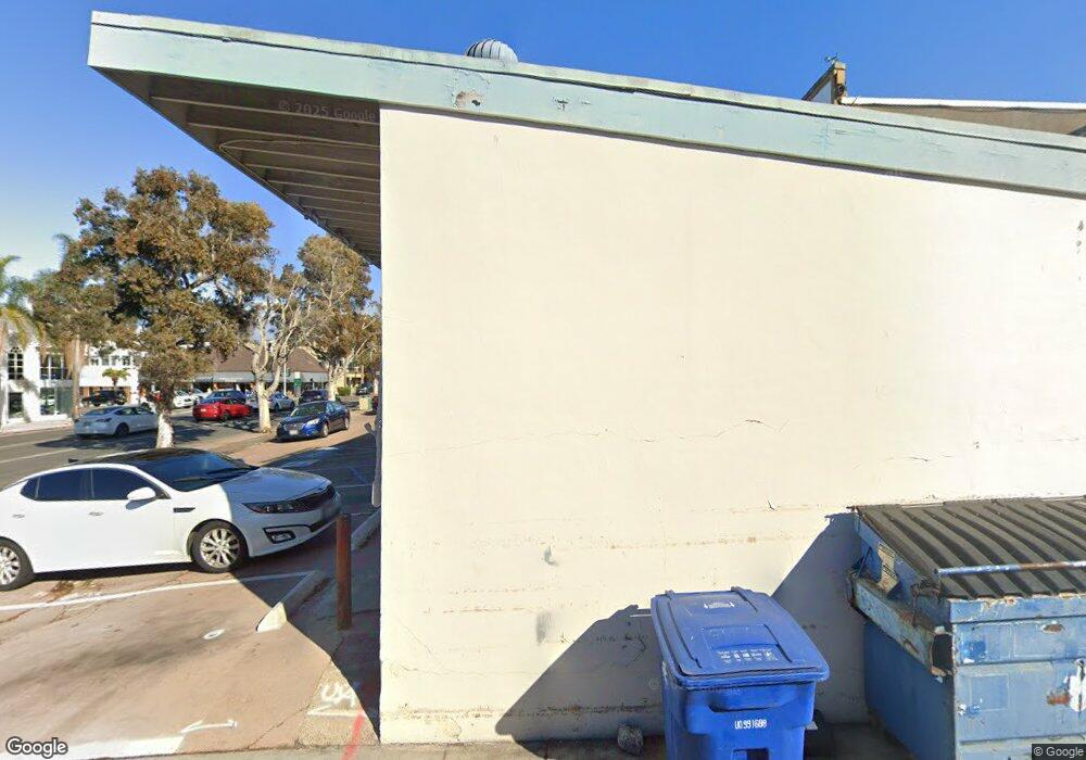
941 Pearl St La Jolla, CA 92037
The Village NeighborhoodEstimated Value: $2,793,225
--
Bed
--
Bath
3,047
Sq Ft
$917/Sq Ft
Est. Value
About This Home
This home is located at 941 Pearl St, La Jolla, CA 92037 and is currently estimated at $2,793,225, approximately $916 per square foot. 941 Pearl St is a home located in San Diego County with nearby schools including La Jolla Elementary School, Muirlands Middle School, and La Jolla High School.
Ownership History
Date
Name
Owned For
Owner Type
Purchase Details
Closed on
Dec 20, 2024
Sold by
Lee Hwail and Lee Family Trust
Bought by
Vm-The Pearl Llc
Current Estimated Value
Purchase Details
Closed on
Jun 11, 1999
Sold by
Il Lee Hwa and Soon Hee
Bought by
Lee Hwail and Lee Lisa Heesoon
Purchase Details
Closed on
Oct 18, 1991
Purchase Details
Closed on
Apr 4, 1988
Purchase Details
Closed on
Dec 31, 1985
Create a Home Valuation Report for This Property
The Home Valuation Report is an in-depth analysis detailing your home's value as well as a comparison with similar homes in the area
Home Values in the Area
Average Home Value in this Area
Purchase History
| Date | Buyer | Sale Price | Title Company |
|---|---|---|---|
| Vm-The Pearl Llc | $2,600,000 | Chicago Title | |
| Lee Hwail | -- | -- | |
| -- | $1,076,800 | -- | |
| -- | $1,000,000 | -- | |
| -- | $1,000,000 | -- |
Source: Public Records
Tax History Compared to Growth
Tax History
| Year | Tax Paid | Tax Assessment Tax Assessment Total Assessment is a certain percentage of the fair market value that is determined by local assessors to be the total taxable value of land and additions on the property. | Land | Improvement |
|---|---|---|---|---|
| 2025 | $22,574 | $2,600,000 | $1,900,000 | $700,000 |
| 2024 | $22,574 | $1,766,199 | $1,213,581 | $552,618 |
| 2023 | $22,066 | $1,731,569 | $1,189,786 | $541,783 |
| 2022 | $21,479 | $1,697,617 | $1,166,457 | $531,160 |
| 2021 | $21,313 | $1,664,332 | $1,143,586 | $520,746 |
| 2020 | $21,061 | $1,647,267 | $1,131,860 | $515,407 |
| 2019 | $20,699 | $1,614,968 | $1,109,667 | $505,301 |
| 2018 | $18,678 | $1,583,303 | $1,087,909 | $495,394 |
| 2017 | $18,955 | $1,552,259 | $1,066,578 | $485,681 |
| 2016 | $17,948 | $1,521,823 | $1,045,665 | $476,158 |
| 2015 | $17,682 | $1,498,965 | $1,029,959 | $469,006 |
| 2014 | $17,402 | $1,469,603 | $1,009,784 | $459,819 |
Source: Public Records
Map
Nearby Homes
- 7452 Herschel Ave
- 7447 Herschel Ave
- 7376 Fay Ave
- 7372 Fay Ave
- 7560 Eads Ave Unit 12
- 7310 Fay Ave
- 1138 Virginia Way
- 7601 Eads Ave
- 1040 Genter St Unit 103
- 1040 Genter St Unit 104
- 935 Genter St Unit 306
- 7520 Draper Ave Unit 3
- 726 Silver St
- 708 Silver St
- 718 Silver St
- 7216 Fay Ave
- 7214 Fay Ave
- 1001 Genter St Unit 2H
- 7635 Draper Ave Unit LU4
- 716 Glenview Ln
- 7466 Girard Ave Unit 7442-A
- 7466 Girard Ave
- 7460 Girard Ave Unit 1
- 7460 Girard Ave Unit 3
- 7460 Girard Ave
- 7460 Girard Ave Unit 4
- 7460 Girard Ave Unit 3 & 4
- 915 Pearl St
- 7514 7514 Girard Ave Cu-7
- 7450 Girard Ave Unit 2
- 7450 Girard Ave Unit B
- 7514 Girard Ave Unit 7
- 7514 Girard Ave Unit 4
- 7514 Girard Ave
- 7514 Girard Ave Unit G
- 7514 Girard Ave Unit F
- 7514 Girard Ave Unit E
- 7514 Girard Ave Unit D
- 7514 Girard Ave Unit C
- 7514 Girard Ave Unit B
