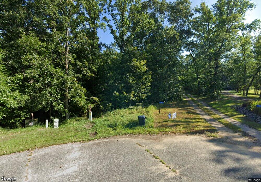
9415 Beverly Dr Breezy Point, MN 56472
Estimated Value: $635,000 - $805,000
4
Beds
2
Baths
3,062
Sq Ft
$231/Sq Ft
Est. Value
About This Home
This home is located at 9415 Beverly Dr, Breezy Point, MN 56472 and is currently estimated at $707,341, approximately $231 per square foot. 9415 Beverly Dr is a home located in Crow Wing County with nearby schools including Eagle View Elementary School, Pequot Lakes Middle School, and Pequot Lakes Senior High School.
Ownership History
Date
Name
Owned For
Owner Type
Purchase Details
Closed on
Oct 12, 2018
Sold by
Rankin Charles R and Rankin Rebecca J
Bought by
Westerman Jamie L
Current Estimated Value
Purchase Details
Closed on
Oct 1, 2010
Sold by
Horner Jonathan and Horner Ruth
Bought by
Rankin Charles R and Rankin Rebecca J
Purchase Details
Closed on
May 1, 2005
Bought by
Horner Jonathan and Horner Ruth
Create a Home Valuation Report for This Property
The Home Valuation Report is an in-depth analysis detailing your home's value as well as a comparison with similar homes in the area
Home Values in the Area
Average Home Value in this Area
Purchase History
| Date | Buyer | Sale Price | Title Company |
|---|---|---|---|
| Westerman Jamie L | $407,500 | -- | |
| Rankin Charles R | $307,500 | -- | |
| Horner Jonathan | $64,900 | -- |
Source: Public Records
Tax History Compared to Growth
Tax History
| Year | Tax Paid | Tax Assessment Tax Assessment Total Assessment is a certain percentage of the fair market value that is determined by local assessors to be the total taxable value of land and additions on the property. | Land | Improvement |
|---|---|---|---|---|
| 2025 | $5,178 | $670,900 | $73,300 | $597,600 |
| 2024 | $5,178 | $678,900 | $69,100 | $609,800 |
| 2023 | $5,254 | $621,500 | $61,300 | $560,200 |
| 2022 | $4,824 | $648,300 | $40,200 | $608,100 |
| 2021 | $4,648 | $481,400 | $35,600 | $445,800 |
| 2020 | $4,298 | $453,900 | $51,400 | $402,500 |
| 2019 | $3,922 | $410,100 | $48,500 | $361,600 |
| 2018 | $3,620 | $392,000 | $48,500 | $343,500 |
| 2017 | $3,286 | $361,482 | $47,927 | $313,555 |
| 2016 | $3,272 | $321,400 | $35,700 | $285,700 |
| 2015 | $3,094 | $310,900 | $35,500 | $275,400 |
| 2014 | $1,607 | $327,300 | $36,400 | $290,900 |
Source: Public Records
Map
Nearby Homes
- TBD Dell Marie Place
- XXX 3rd St
- 8971 Dellwood Dr
- TBD 1st Ave
- 32024 West St
- TBD County Rd 11 Rd
- 0000 Violet Ln
- 000 Violet Ln
- 32931 Graf Rd
- TBD Peony Ln
- TBD Dog Leg Dr
- XXX Dog Leg Dr
- Lots 100 & 101 TBD Orchid Ln
- 33249 Winnamakee Shores Rd
- 10313 Ossawinnamakee Rd
- 31591 Summer Dr
- 10422 Ossawinnamakee Rd
- TBD Lot 49, Blk 1 Huron Cir
- Lot 3 Summer Dr
- TBD Sunny Ln
- 9415 Beverly Dr
- 9414 Beverly Dr
- 9414 Beverly Dr
- 9411 Beverly Dr
- 9408 Beverly Dr
- 32301 Chiarella Dr
- 9356 Beverly Dr
- 9356 Beverly Dr
- Lot 8, Blk Rolling Oaks
- 8 Beverly Dr
- Lot 8, Blk 1 Rolling Oaks Trail
- L8B1 Russ Ct
- 32416 East St
- 9288 Beverly Dr
- 32310 Russ Ct
- 9650 Kent Ct
- 32321 Chiarella Dr
- 32718 Jacobson Dr
- 32306 Russ Ct
- 32306 Russ Ct
