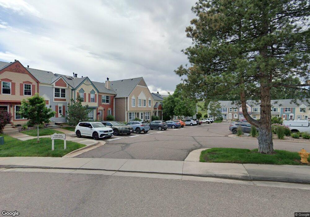
9418 W Ontario Dr Littleton, CO 80128
Stony Creek NeighborhoodEstimated Value: $367,747 - $386,000
3
Beds
2
Baths
1,073
Sq Ft
$353/Sq Ft
Est. Value
About This Home
This home is located at 9418 W Ontario Dr, Littleton, CO 80128 and is currently estimated at $378,437, approximately $352 per square foot. 9418 W Ontario Dr is a home located in Jefferson County with nearby schools including Stony Creek Elementary School, Deer Creek Middle School, and Chatfield High School.
Ownership History
Date
Name
Owned For
Owner Type
Purchase Details
Closed on
Feb 3, 2021
Sold by
Porter Naomi Joy
Bought by
Woo Naomi Joy
Current Estimated Value
Purchase Details
Closed on
Jul 22, 2005
Sold by
Humbert Charles D and Humbert Rebecca S
Bought by
Porter Naomi
Home Financials for this Owner
Home Financials are based on the most recent Mortgage that was taken out on this home.
Original Mortgage
$122,400
Outstanding Balance
$63,564
Interest Rate
5.58%
Mortgage Type
Fannie Mae Freddie Mac
Estimated Equity
$314,873
Purchase Details
Closed on
Sep 28, 2001
Sold by
Anderson Ryan W
Bought by
Humbert Charles D and Humbert Rebecca S
Home Financials for this Owner
Home Financials are based on the most recent Mortgage that was taken out on this home.
Original Mortgage
$147,682
Interest Rate
6.88%
Mortgage Type
FHA
Purchase Details
Closed on
Sep 26, 2001
Sold by
Anderson Ryan W and Anderson Lars
Bought by
Anderson Ryan W
Home Financials for this Owner
Home Financials are based on the most recent Mortgage that was taken out on this home.
Original Mortgage
$147,682
Interest Rate
6.88%
Mortgage Type
FHA
Purchase Details
Closed on
Oct 11, 1996
Sold by
Hunt Steven M and Hunt Angela M
Bought by
Anderson Ryan W and Anderson Lars
Home Financials for this Owner
Home Financials are based on the most recent Mortgage that was taken out on this home.
Original Mortgage
$95,399
Interest Rate
8.09%
Mortgage Type
FHA
Purchase Details
Closed on
Oct 30, 1995
Sold by
Hunt Steven M and Voels Angela M
Bought by
Hunt Steven M and Hunt Angela M
Home Financials for this Owner
Home Financials are based on the most recent Mortgage that was taken out on this home.
Original Mortgage
$25,000
Interest Rate
7.58%
Purchase Details
Closed on
Mar 30, 1994
Sold by
Brimage Ellison C and Brimage Frances E
Bought by
Hunt Steven M and Voels Angela M
Home Financials for this Owner
Home Financials are based on the most recent Mortgage that was taken out on this home.
Original Mortgage
$65,975
Interest Rate
7.05%
Mortgage Type
Assumption
Create a Home Valuation Report for This Property
The Home Valuation Report is an in-depth analysis detailing your home's value as well as a comparison with similar homes in the area
Home Values in the Area
Average Home Value in this Area
Purchase History
| Date | Buyer | Sale Price | Title Company |
|---|---|---|---|
| Woo Naomi Joy | -- | None Available | |
| Porter Naomi | $153,000 | Chicago Title Co | |
| Humbert Charles D | $150,000 | First American Heritage Titl | |
| Anderson Ryan W | $150,000 | First American Heritage Titl | |
| Anderson Ryan W | $96,000 | Land Title | |
| Hunt Steven M | -- | -- | |
| Hunt Steven M | $68,900 | -- |
Source: Public Records
Mortgage History
| Date | Status | Borrower | Loan Amount |
|---|---|---|---|
| Open | Porter Naomi | $122,400 | |
| Previous Owner | Humbert Charles D | $147,682 | |
| Previous Owner | Anderson Ryan W | $95,399 | |
| Previous Owner | Hunt Steven M | $25,000 | |
| Previous Owner | Hunt Steven M | $65,975 |
Source: Public Records
Tax History Compared to Growth
Tax History
| Year | Tax Paid | Tax Assessment Tax Assessment Total Assessment is a certain percentage of the fair market value that is determined by local assessors to be the total taxable value of land and additions on the property. | Land | Improvement |
|---|---|---|---|---|
| 2024 | $1,978 | $20,198 | $6,030 | $14,168 |
| 2023 | $1,978 | $20,198 | $6,030 | $14,168 |
| 2022 | $1,872 | $18,770 | $4,170 | $14,600 |
| 2021 | $1,896 | $19,310 | $4,290 | $15,020 |
| 2020 | $1,816 | $18,533 | $4,290 | $14,243 |
| 2019 | $1,793 | $18,533 | $4,290 | $14,243 |
| 2018 | $1,492 | $14,893 | $3,600 | $11,293 |
| 2017 | $1,362 | $14,893 | $3,600 | $11,293 |
| 2016 | $1,213 | $12,800 | $3,184 | $9,616 |
| 2015 | $949 | $12,800 | $3,184 | $9,616 |
| 2014 | $949 | $9,393 | $2,229 | $7,164 |
Source: Public Records
Map
Nearby Homes
- 9448 W Plymouth Ave
- 6765 S Independence St
- 6763 S Independence St
- 9423 W Ontario Dr
- 6753 S Independence St
- 6751 S Independence St
- 6784 S Independence St
- 6766 S Holland Way
- 9364 W Coal Mine Ave
- 9100 W Portland Ave
- 6755 S Field St Unit 618
- 6755 S Field St Unit 623
- 9088 W Plymouth Ave
- 6705 S Field St Unit 802
- 6705 S Field St Unit 801
- 9519 W Coal Mine Ave Unit F
- 9603 W Euclid Dr
- 9505 W Coal Mine Ave Unit F
- 8878 W Plymouth Ave
- 7126 S Kline St
- 9416 W Ontario Dr
- 9420 W Ontario Dr
- 9422 W Ontario Dr
- 9414 W Ontario Dr
- 9424 W Ontario Dr
- 9412 W Ontario Dr
- 9410 W Ontario Dr
- 9426 W Ontario Dr
- 9408 W Ontario Dr
- 9406 W Ontario Dr
- 9404 W Ontario Dr
- 9402 W Ontario Dr
- 9428 W Ontario Dr
- 9400 W Ontario Dr
- 9430 W Ontario Dr
- 9434 W Ontario Dr
- 9436 W Ontario Dr
- 9388 W Ontario Dr
- 9438 W Ontario Dr
- 9440 W Ontario Dr