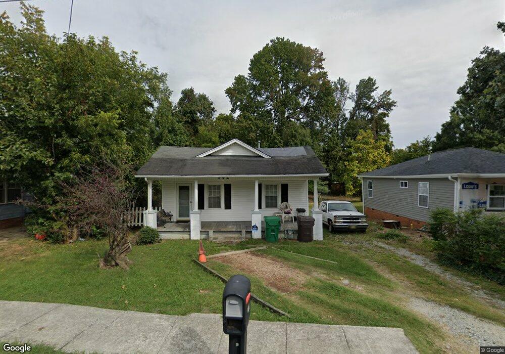
942 Forrest St High Point, NC 27262
Greater High Point NeighborhoodEstimated Value: $135,000 - $144,000
2
Beds
2
Baths
1,066
Sq Ft
$132/Sq Ft
Est. Value
About This Home
This home is located at 942 Forrest St, High Point, NC 27262 and is currently estimated at $140,808, approximately $132 per square foot. 942 Forrest St is a home located in Guilford County with nearby schools including Kirkman Park Elementary School, Penn-Griffin School for the Arts, and T.W. Andrews High School.
Ownership History
Date
Name
Owned For
Owner Type
Purchase Details
Closed on
Aug 17, 1999
Sold by
Friedman Carolyn T
Bought by
White De Ann M
Current Estimated Value
Home Financials for this Owner
Home Financials are based on the most recent Mortgage that was taken out on this home.
Original Mortgage
$48,400
Outstanding Balance
$13,832
Interest Rate
7.58%
Estimated Equity
$126,976
Create a Home Valuation Report for This Property
The Home Valuation Report is an in-depth analysis detailing your home's value as well as a comparison with similar homes in the area
Home Values in the Area
Average Home Value in this Area
Purchase History
| Date | Buyer | Sale Price | Title Company |
|---|---|---|---|
| White De Ann M | $50,000 | -- |
Source: Public Records
Mortgage History
| Date | Status | Borrower | Loan Amount |
|---|---|---|---|
| Open | White De Ann M | $48,400 |
Source: Public Records
Tax History Compared to Growth
Tax History
| Year | Tax Paid | Tax Assessment Tax Assessment Total Assessment is a certain percentage of the fair market value that is determined by local assessors to be the total taxable value of land and additions on the property. | Land | Improvement |
|---|---|---|---|---|
| 2025 | $791 | $57,400 | $14,000 | $43,400 |
| 2024 | $791 | $57,400 | $14,000 | $43,400 |
| 2023 | $791 | $57,400 | $14,000 | $43,400 |
| 2022 | $774 | $57,400 | $14,000 | $43,400 |
| 2021 | $593 | $43,000 | $14,000 | $29,000 |
| 2020 | $593 | $43,000 | $14,000 | $29,000 |
| 2019 | $593 | $43,000 | $0 | $0 |
| 2018 | $590 | $43,000 | $0 | $0 |
| 2017 | $593 | $43,000 | $0 | $0 |
| 2016 | $569 | $40,600 | $0 | $0 |
| 2015 | $572 | $40,600 | $0 | $0 |
| 2014 | $582 | $40,600 | $0 | $0 |
Source: Public Records
Map
Nearby Homes
- 910 E Dayton Ave
- 907 E Dayton Ave
- 1108 Forrest St
- 1110 Forrest St
- 719 Forrest St
- 1428 Futrelle Dr
- 504 Avalon Place
- 509 Woodrow Ave
- 1406 Bridges Dr
- 313 Woodrow Ave
- 326 Louise Ave
- 1507 Larkin St
- 1714 N Hamilton St Unit A
- 1714 N Hamilton St Unit B
- 1712 N Hamilton St Unit B
- 1607 Bridges Dr
- 1013 Johnson St
- 506 Denny St
- 1704 N Hamilton St Unit D
- 410 4th St
- 940 Forrest St
- 944 Forrest St
- 938 Forrest St
- 904 E Lexington Ave
- 902 E Lexington Ave
- 900 E Lexington Ave
- 936 Forrest St
- 906 E Lexington Ave
- 1305 Denny St
- 1303 Denny St
- 934 Forrest St
- 1301 Denny St
- 935-397 Forrest St
- 910 E Lexington Ave
- 941 Forrest St
- 1209 Denny St
- 932 Forrest St
- 826 E Lexington Ave
- 1207 Denny St
- 930 Forrest St