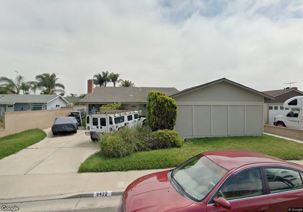
9422 Harcourt Cir Huntington Beach, CA 92646
Southeast NeighborhoodEstimated Value: $1,223,332 - $1,325,000
4
Beds
2
Baths
1,258
Sq Ft
$1,024/Sq Ft
Est. Value
About This Home
This home is located at 9422 Harcourt Cir, Huntington Beach, CA 92646 and is currently estimated at $1,287,583, approximately $1,023 per square foot. 9422 Harcourt Cir is a home located in Orange County with nearby schools including Ralph E. Hawes Elementary School, Isaac L. Sowers Middle School, and Edison High School.
Ownership History
Date
Name
Owned For
Owner Type
Purchase Details
Closed on
Apr 6, 1998
Sold by
Farshid Mashhood and Farshid Azam
Bought by
Lee Peter H
Current Estimated Value
Home Financials for this Owner
Home Financials are based on the most recent Mortgage that was taken out on this home.
Original Mortgage
$210,900
Interest Rate
9.35%
Purchase Details
Closed on
Feb 24, 1993
Sold by
Aloe John L and Aloe Linda M
Bought by
Mashhood Farshid
Create a Home Valuation Report for This Property
The Home Valuation Report is an in-depth analysis detailing your home's value as well as a comparison with similar homes in the area
Home Values in the Area
Average Home Value in this Area
Purchase History
| Date | Buyer | Sale Price | Title Company |
|---|---|---|---|
| Lee Peter H | $222,000 | Orange Coast Title | |
| Mashhood Farshid | -- | Continental Lawyers Title Co |
Source: Public Records
Mortgage History
| Date | Status | Borrower | Loan Amount |
|---|---|---|---|
| Previous Owner | Lee Peter H | $210,900 |
Source: Public Records
Tax History Compared to Growth
Tax History
| Year | Tax Paid | Tax Assessment Tax Assessment Total Assessment is a certain percentage of the fair market value that is determined by local assessors to be the total taxable value of land and additions on the property. | Land | Improvement |
|---|---|---|---|---|
| 2025 | $4,146 | $354,468 | $253,437 | $101,031 |
| 2024 | $4,146 | $347,518 | $248,468 | $99,050 |
| 2023 | $4,050 | $340,704 | $243,596 | $97,108 |
| 2022 | $3,942 | $334,024 | $238,820 | $95,204 |
| 2021 | $3,868 | $327,475 | $234,137 | $93,338 |
| 2020 | $3,842 | $324,118 | $231,737 | $92,381 |
| 2019 | $3,797 | $317,763 | $227,193 | $90,570 |
| 2018 | $3,738 | $311,533 | $222,738 | $88,795 |
| 2017 | $3,687 | $305,425 | $218,371 | $87,054 |
| 2016 | $3,528 | $299,437 | $214,089 | $85,348 |
| 2015 | $3,492 | $294,940 | $210,874 | $84,066 |
| 2014 | $3,418 | $289,163 | $206,743 | $82,420 |
Source: Public Records
Map
Nearby Homes
- 20862 Lancelot Ln
- 9812 La Cresta Cir
- 9221 Belcaro Dr
- 9522 Yellowstone Dr
- 9001 Oceanwood Dr
- 8932 Amador Cir Unit 1309B
- 20392 Redwood Ln
- 21221 Hillsdale Ln
- 9882 Cornerbrook Dr
- 9581 Chevy Chase Dr
- 20258 Lantana Dr
- 9802 Effingham Dr
- 20111 Marina Ln
- 8856 Sutter Cir Unit 522A
- 20071 Moontide Cir
- 8886 Plumas Cir Unit 1124-A
- 8856 526C Sutter
- 21022 Manessa Cir
- 21361 Lemontree Ln
- 8788 Coral Springs Ct Unit 203
- 9432 Harcourt Cir
- 9402 Harcourt Cir
- 20712 Brookdale Ln
- 20721 Crestview Ln
- 9442 Harcourt Cir
- 20672 Brookdale Ln
- 20722 Brookdale Ln
- 20712 Crestview Ln
- 9421 Harcourt Cir
- 9441 Harcourt Cir
- 20731 Crestview Ln
- 20652 Brookdale Ln
- 20701 Brookdale Ln
- 20732 Brookdale Ln
- 9452 Harcourt Cir
- 20681 Brookdale Ln
- 20711 Brookdale Ln
- 20722 Crestview Ln
- 20671 Brookdale Ln
- 9461 Harcourt Cir