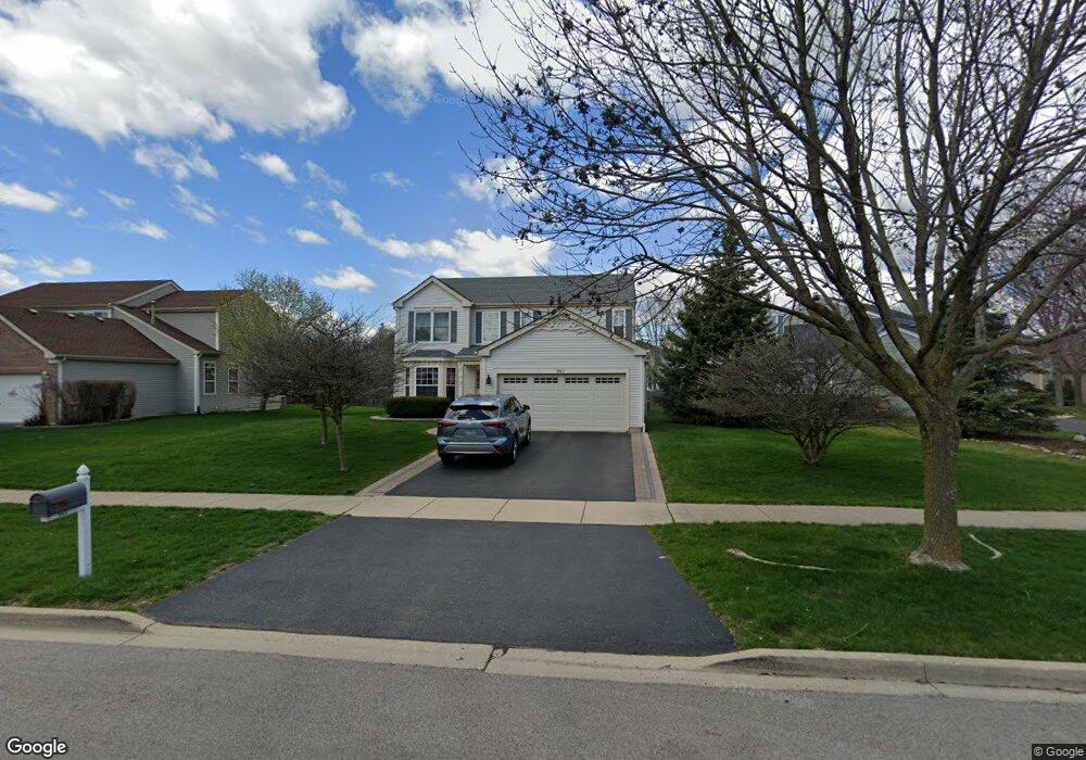
943 Audubon Ln Unit 1 Aurora, IL 60506
Blackberry Countryside NeighborhoodEstimated Value: $387,372 - $427,000
Studio
--
Bath
2,231
Sq Ft
$187/Sq Ft
Est. Value
About This Home
This home is located at 943 Audubon Ln Unit 1, Aurora, IL 60506 and is currently estimated at $416,843, approximately $186 per square foot. 943 Audubon Ln Unit 1 is a home located in Kane County with nearby schools including Kaneland Mcdole Elementary School, Harter Middle School, and Kaneland High School.
Ownership History
Date
Name
Owned For
Owner Type
Purchase Details
Closed on
Sep 27, 2001
Sold by
Linden Venture Llc
Bought by
Gonzales Antonio and Gonzales Brenda L
Current Estimated Value
Home Financials for this Owner
Home Financials are based on the most recent Mortgage that was taken out on this home.
Original Mortgage
$130,000
Outstanding Balance
$51,258
Interest Rate
6.99%
Estimated Equity
$365,585
Create a Home Valuation Report for This Property
The Home Valuation Report is an in-depth analysis detailing your home's value as well as a comparison with similar homes in the area
Home Values in the Area
Average Home Value in this Area
Purchase History
| Date | Buyer | Sale Price | Title Company |
|---|---|---|---|
| Gonzales Antonio | $213,000 | First American Title Co |
Source: Public Records
Mortgage History
| Date | Status | Borrower | Loan Amount |
|---|---|---|---|
| Open | Gonzales Antonio | $130,000 |
Source: Public Records
Tax History
| Year | Tax Paid | Tax Assessment Tax Assessment Total Assessment is a certain percentage of the fair market value that is determined by local assessors to be the total taxable value of land and additions on the property. | Land | Improvement |
|---|---|---|---|---|
| 2024 | $8,809 | $111,363 | $28,866 | $82,497 |
| 2023 | $9,200 | $100,436 | $26,034 | $74,402 |
| 2022 | $8,916 | $92,721 | $24,034 | $68,687 |
| 2021 | $8,635 | $88,238 | $22,872 | $65,366 |
| 2020 | $8,563 | $86,355 | $22,384 | $63,971 |
| 2019 | $8,470 | $83,531 | $21,652 | $61,879 |
| 2018 | $8,136 | $79,295 | $19,813 | $59,482 |
| 2017 | $7,926 | $75,728 | $18,922 | $56,806 |
| 2016 | $7,735 | $72,391 | $18,088 | $54,303 |
| 2015 | -- | $67,353 | $16,829 | $50,524 |
| 2014 | -- | $69,771 | $16,092 | $53,679 |
| 2013 | -- | $70,504 | $16,261 | $54,243 |
Source: Public Records
Map
Nearby Homes
- 2265 Fitchome St
- 541 Wingpointe Dr
- 8S436 Barnes Rd
- 417 Cottrell Ln
- 413 Cottrell Ln
- 425 Cottrell Ln
- 433 Cottrell Ln
- 396 Cottrell Ln
- 393 S Constitution Dr
- 387 S Constitution Dr
- 417 S Constitution Dr
- 381 S Constitution Dr
- 378 Cottrell Ln
- 375 S Constitution Dr
- Napa Plan at Prairie Meadows
- Siena Plan at Prairie Meadows
- Sonoma Plan at Prairie Meadows
- Rutherford Plan at Prairie Meadows
- 2091 Jericho Rd
- 2021 Radcliffe Dr
- 913 Audubon Ln
- 953 Audubon Ln
- 902 Honeysuckle Ln Unit 1
- 903 Audubon Ln
- 963 Audubon Ln Unit 1
- 892 Honeysuckle Ln
- 944 Audubon Ln
- 954 Audubon Ln
- 912 Honeysuckle Ln
- 934 Audubon Ln
- 924 Audubon Ln
- 891 Audubon Ln
- 973 Audubon Ln
- 914 Audubon Ln
- 964 Audubon Ln Unit 1
- 882 Honeysuckle Ln
- 922 Honeysuckle Ln
- 904 Audubon Ln
- 983 Audubon Ln
- 879 Audubon Ln
Your Personal Tour Guide
Ask me questions while you tour the home.