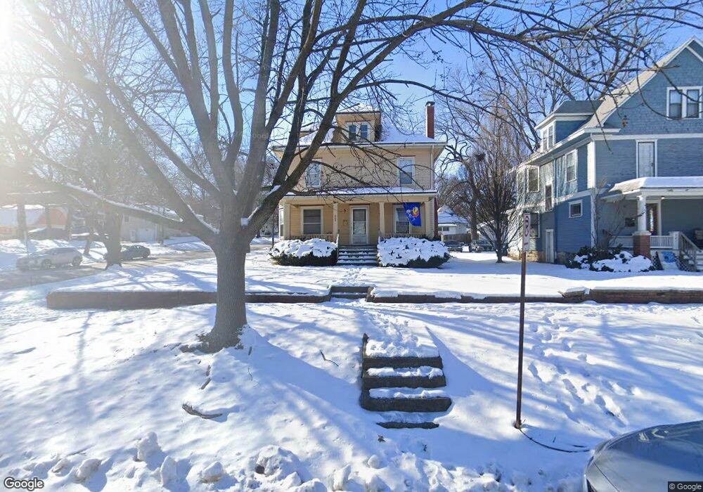
945 Alabama St Lawrence, KS 66044
Oread NeighborhoodEstimated Value: $307,000 - $442,000
3
Beds
2
Baths
1,456
Sq Ft
$250/Sq Ft
Est. Value
About This Home
This home is located at 945 Alabama St, Lawrence, KS 66044 and is currently estimated at $363,437, approximately $249 per square foot. 945 Alabama St is a home located in Douglas County with nearby schools including Hillcrest Elementary School, West Middle School, and Lawrence Free State High School.
Ownership History
Date
Name
Owned For
Owner Type
Purchase Details
Closed on
Mar 11, 2022
Sold by
Kitos Paul A
Bought by
Kllk Llc
Current Estimated Value
Home Financials for this Owner
Home Financials are based on the most recent Mortgage that was taken out on this home.
Original Mortgage
$252,000
Outstanding Balance
$235,263
Interest Rate
3.85%
Mortgage Type
New Conventional
Estimated Equity
$128,174
Create a Home Valuation Report for This Property
The Home Valuation Report is an in-depth analysis detailing your home's value as well as a comparison with similar homes in the area
Home Values in the Area
Average Home Value in this Area
Purchase History
| Date | Buyer | Sale Price | Title Company |
|---|---|---|---|
| Kllk Llc | -- | None Listed On Document |
Source: Public Records
Mortgage History
| Date | Status | Borrower | Loan Amount |
|---|---|---|---|
| Open | Kllk Llc | $252,000 |
Source: Public Records
Tax History Compared to Growth
Tax History
| Year | Tax Paid | Tax Assessment Tax Assessment Total Assessment is a certain percentage of the fair market value that is determined by local assessors to be the total taxable value of land and additions on the property. | Land | Improvement |
|---|---|---|---|---|
| 2025 | $4,997 | $40,317 | $20,700 | $19,617 |
| 2024 | $4,784 | $38,631 | $15,180 | $23,451 |
| 2023 | $4,653 | $36,226 | $12,938 | $23,288 |
| 2022 | $4,687 | $36,204 | $12,938 | $23,266 |
| 2021 | $4,022 | $30,122 | $10,350 | $19,772 |
| 2020 | $3,772 | $28,417 | $10,350 | $18,067 |
| 2019 | $3,462 | $26,135 | $10,010 | $16,125 |
| 2018 | $3,367 | $25,237 | $9,485 | $15,752 |
| 2017 | $3,501 | $25,942 | $9,485 | $16,457 |
| 2016 | $3,438 | $26,599 | $8,637 | $17,962 |
| 2015 | -- | $26,047 | $6,333 | $19,714 |
| 2014 | -- | $23,777 | $6,333 | $17,444 |
Source: Public Records
Map
Nearby Homes
- 817 Maine St
- 735 Missouri St
- 917 Sunset Dr
- 505 Mississippi St
- 1336 Spencer Dr
- Lot 9 W 5th St
- 800 New Hampshire St Unit 204
- 619 W 4th St
- 1141 Connecticut St
- 705 Rhode Island St Unit F
- 705 Rhode Island St Unit B
- 705 Rhode Island St Unit A
- 705 Rhode Island St Unit P
- 705 Rhode Island St Unit Q
- 705 Rhode Island St Unit J
- 705 Rhode Island St Unit E
- 705 Rhode Island St Unit K
- 705 Rhode Island St Unit D
- 705 Rhode Island St Unit C
- 705 Rhode Island St Unit N
- 937 Alabama St
- 1001 Alabama St
- 946 Maine St
- 933 Alabama St
- 944 Alabama St
- 936 Maine St
- 940 Maine St
- 940 Alabama St
- 1007 Alabama St
- 929 Alabama St
- 1019 W 10th St
- 936 Alabama St
- 932 Maine St
- 946 1/2 Alabama St
- 1000 Alabama St
- 932 Alabama St
- 1008 Maine St
- 925 Alabama St
- 928 Alabama St
- 928 Alabama St Unit 4