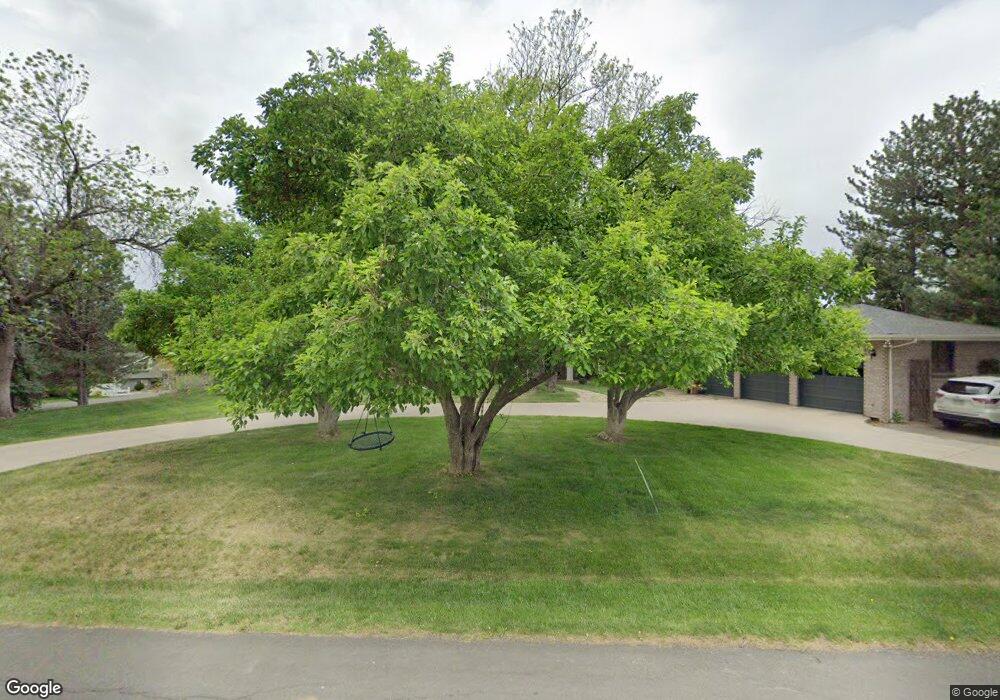
945 Front Range Rd Littleton, CO 80120
Heritage NeighborhoodEstimated Value: $1,434,000 - $1,813,000
4
Beds
4
Baths
3,853
Sq Ft
$434/Sq Ft
Est. Value
About This Home
This home is located at 945 Front Range Rd, Littleton, CO 80120 and is currently estimated at $1,674,111, approximately $434 per square foot. 945 Front Range Rd is a home located in Arapahoe County with nearby schools including Runyon Elementary School, Euclid Middle School, and Heritage High School.
Ownership History
Date
Name
Owned For
Owner Type
Purchase Details
Closed on
Apr 7, 2021
Sold by
Nicholls Scott T and Nicholls Jodie L
Bought by
Fenn Katherine Cecile and Fenn Taylor James
Current Estimated Value
Home Financials for this Owner
Home Financials are based on the most recent Mortgage that was taken out on this home.
Original Mortgage
$1,076,625
Outstanding Balance
$961,919
Interest Rate
2.9%
Mortgage Type
New Conventional
Estimated Equity
$712,192
Purchase Details
Closed on
Oct 11, 2012
Sold by
Neighborhood Partners Llc
Bought by
Nicholls Scott T and Nicholls Jodie L
Home Financials for this Owner
Home Financials are based on the most recent Mortgage that was taken out on this home.
Original Mortgage
$417,000
Interest Rate
3.61%
Mortgage Type
New Conventional
Purchase Details
Closed on
Mar 2, 2012
Sold by
Puster Frederick and Puster Mary G
Bought by
Neighborhood Partners Llc
Purchase Details
Closed on
Feb 29, 2012
Sold by
Puster Frederick and Jpmorgan Chase Bank National A
Bought by
Neighborhood Partners Llc
Purchase Details
Closed on
Apr 9, 2008
Sold by
Puster Frederick and Civil Action #05Cv2512
Bought by
Top Operating Co
Purchase Details
Closed on
May 9, 2003
Sold by
Puster Frederick
Bought by
Puster Frederick and Puster Mary G
Purchase Details
Closed on
Mar 14, 2002
Sold by
Puster Frederick
Bought by
Puster Frederick and Puster Mary G
Home Financials for this Owner
Home Financials are based on the most recent Mortgage that was taken out on this home.
Original Mortgage
$395,500
Interest Rate
6.75%
Purchase Details
Closed on
Sep 27, 1996
Sold by
Fatout Richard A and Fatout Terry L
Bought by
Puster Frederick
Home Financials for this Owner
Home Financials are based on the most recent Mortgage that was taken out on this home.
Original Mortgage
$300,000
Interest Rate
7.96%
Purchase Details
Closed on
Apr 14, 1987
Sold by
Conversion Arapco
Bought by
Fatout Richard A Fatout Terry L
Purchase Details
Closed on
Dec 1, 1982
Sold by
Conversion Arapco
Bought by
Conversion Arapco
Purchase Details
Closed on
Jul 4, 1776
Bought by
Conversion Arapco
Create a Home Valuation Report for This Property
The Home Valuation Report is an in-depth analysis detailing your home's value as well as a comparison with similar homes in the area
Home Values in the Area
Average Home Value in this Area
Purchase History
| Date | Buyer | Sale Price | Title Company |
|---|---|---|---|
| Fenn Katherine Cecile | $1,435,500 | Fidelity National Title | |
| Nicholls Scott T | $675,000 | Heritage Title | |
| Neighborhood Partners Llc | -- | None Available | |
| Neighborhood Partners Llc | -- | None Available | |
| Top Operating Co | -- | None Available | |
| Puster Frederick | -- | Land Title | |
| Puster Frederick | -- | Land Title | |
| Puster Frederick | $324,000 | -- | |
| Fatout Richard A Fatout Terry L | -- | -- | |
| Conversion Arapco | -- | -- | |
| Conversion Arapco | -- | -- |
Source: Public Records
Mortgage History
| Date | Status | Borrower | Loan Amount |
|---|---|---|---|
| Open | Fenn Katherine Cecile | $1,076,625 | |
| Previous Owner | Nicholls Scott T | $417,000 | |
| Previous Owner | Puster Frederick | $395,500 | |
| Previous Owner | Puster Frederick | $300,000 |
Source: Public Records
Tax History
| Year | Tax Paid | Tax Assessment Tax Assessment Total Assessment is a certain percentage of the fair market value that is determined by local assessors to be the total taxable value of land and additions on the property. | Land | Improvement |
|---|---|---|---|---|
| 2025 | $11,360 | $108,231 | -- | -- |
| 2024 | $10,623 | $111,093 | -- | -- |
| 2023 | $7,908 | $111,093 | $0 | $0 |
| 2022 | $7,908 | $77,896 | $0 | $0 |
| 2021 | $7,129 | $77,896 | $0 | $0 |
| 2020 | $5,582 | $52,595 | $0 | $0 |
| 2019 | $5,248 | $52,595 | $0 | $0 |
| 2018 | $4,045 | $46,447 | $0 | $0 |
| 2017 | $3,748 | $46,447 | $0 | $0 |
| 2016 | $5,032 | $59,915 | $0 | $0 |
| 2015 | $5,045 | $59,915 | $0 | $0 |
| 2014 | -- | $53,172 | $0 | $0 |
| 2013 | -- | $42,880 | $0 | $0 |
Source: Public Records
Map
Nearby Homes
- 7252 S Costilla St
- 7019 S Windermere St
- 2805 W Davies Dr
- 7132 S Bryant St Unit 232
- 7132 S Bryant St Unit 231
- 7120 S Clay St
- 7604 S Datura Cir W
- 7475 S Houstoun Waring Cir
- 2480 W Jamison Way
- 2002 W Ridge Rd
- 1148 W Hinsdale Dr
- 6483 S Sycamore St
- 2783 W Long Dr Unit B
- 3004 W Long Dr Unit B
- 7751 S Curtice Dr Unit F
- 2980 W Long Dr Unit B
- 7743 S Nevada Dr
- 6521 S Cedar St
- 7771 S Curtice Dr Unit A
- 6710 S Foresthill St
- 925 Front Range Rd
- 955 Front Range Rd
- 985 Front Range Rd
- 940 Front Range Rd
- 900 Front Range Rd
- 930 Front Range Rd
- 965 Front Range Rd
- 970 Front Range Rd
- 995 Front Range Rd
- 860 Front Range Rd
- 7150 S Prince St
- 7190 S Prince St
- 895 Front Range Rd
- 7088 S Prince St
- 660 Front Range Rd
- 980 Front Range Rd
- 840 Front Range Rd
- 680 Front Range Rd
- 875 Front Range Rd
- 640 Front Range Rd
Your Personal Tour Guide
Ask me questions while you tour the home.