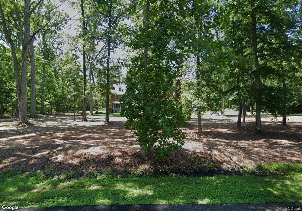
9450 Canvasback Way Saint Michaels, MD 21663
Estimated Value: $1,243,000 - $2,750,000
--
Bed
6
Baths
5,081
Sq Ft
$375/Sq Ft
Est. Value
About This Home
This home is located at 9450 Canvasback Way, Saint Michaels, MD 21663 and is currently estimated at $1,906,047, approximately $375 per square foot. 9450 Canvasback Way is a home located in Talbot County with nearby schools including St. Michaels Elementary School, St. Michaels Middle/High School, and Easton High School.
Ownership History
Date
Name
Owned For
Owner Type
Purchase Details
Closed on
Aug 10, 2021
Sold by
Patrick James D and Patrick Margaret A
Bought by
Hopkins Margaret A
Current Estimated Value
Purchase Details
Closed on
Oct 16, 1986
Sold by
Hutnik Peter P and Hutnik Aileen E
Bought by
Hanish Burton D and Hanish Muriel B
Create a Home Valuation Report for This Property
The Home Valuation Report is an in-depth analysis detailing your home's value as well as a comparison with similar homes in the area
Home Values in the Area
Average Home Value in this Area
Purchase History
| Date | Buyer | Sale Price | Title Company |
|---|---|---|---|
| Hopkins Margaret A | -- | None Available | |
| Hanish Burton D | $30,000 | -- |
Source: Public Records
Tax History Compared to Growth
Tax History
| Year | Tax Paid | Tax Assessment Tax Assessment Total Assessment is a certain percentage of the fair market value that is determined by local assessors to be the total taxable value of land and additions on the property. | Land | Improvement |
|---|---|---|---|---|
| 2025 | $5,265 | $1,026,000 | $213,700 | $812,300 |
| 2024 | $5,265 | $960,933 | $0 | $0 |
| 2023 | $4,940 | $895,867 | $0 | $0 |
| 2022 | $4,542 | $830,800 | $213,700 | $617,100 |
| 2021 | $8,787 | $819,100 | $0 | $0 |
| 2020 | $4,312 | $807,400 | $0 | $0 |
| 2019 | $4,265 | $795,700 | $191,700 | $604,000 |
| 2018 | $3,945 | $795,700 | $191,700 | $604,000 |
| 2017 | $3,824 | $795,700 | $0 | $0 |
| 2016 | $3,736 | $801,800 | $0 | $0 |
| 2015 | $3,332 | $801,800 | $0 | $0 |
| 2014 | $3,332 | $801,800 | $0 | $0 |
Source: Public Records
Map
Nearby Homes
- 9545 Quail Hollow Dr Unit 205
- 24362 Widgeon Place Unit 4
- 24420 Mallard Place
- 9171 Deepwater Point Rd
- 9791 Pintail Place
- 24749 Swan Rd
- 216 Brooks Ln
- 300 Perry St
- 209 Webb Ln
- 408 Spinnaker Ln
- 207 Dodson Ave
- 0 Bozman Neavitt Rd Unit MDTA2011976
- 25500 Chance Farm Rd
- 102 Gloria Ave
- 100 Grace St
- 0 Grace St Unit MDTA2012346
- 107 E Chestnut St
- 222 E Chestnut St
- 216 E Chew Ave
- 704 Meadow St
- 9422 Canvasback Way
- 9449 Melanie Dr
- 9400 Canvasback Way
- 9409 Melanie Dr
- 9460 Martingham Cir
- 0 Melanie Dr Unit 1007958082
- 0 Melanie Dr Unit 1007957528
- 0 Melanie Dr Unit 1006611430
- 0 Melanie Dr Unit 1006422402
- 0 Melanie Dr Unit TA6851200
- 9428 Martingham Cir
- 9480 Martingham Cir
- 9498 Martingham Cir
- 9424 Martingham Cir
- 9380 Canvasback Way
- 9404 Martingham Cir
- 9510 Martingham Cir
- 9383 Melanie Dr
- 0 Old Martingham Rd
- 9445 Martingham Cir