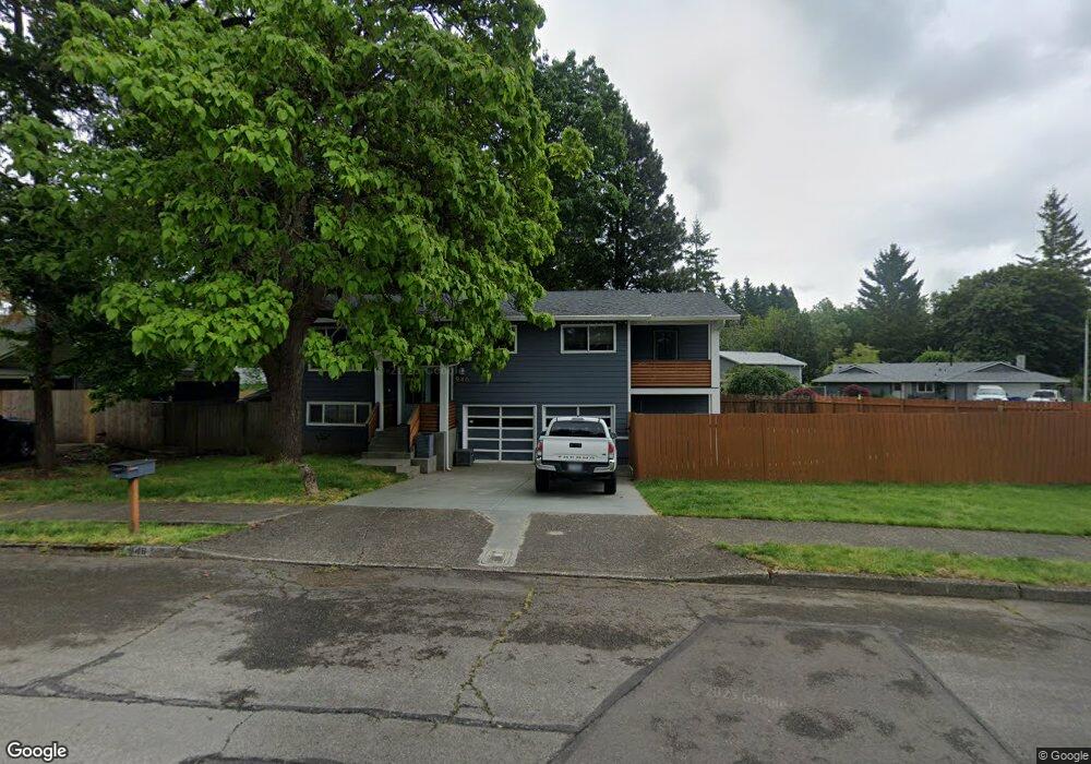
946 SE 207th Ave Gresham, OR 97030
North Central NeighborhoodEstimated Value: $419,000 - $497,000
4
Beds
2
Baths
1,620
Sq Ft
$280/Sq Ft
Est. Value
About This Home
This home is located at 946 SE 207th Ave, Gresham, OR 97030 and is currently estimated at $453,427, approximately $279 per square foot. 946 SE 207th Ave is a home located in Multnomah County with nearby schools including North Gresham Elementary School, Clear Creek Middle School, and Gresham High School.
Ownership History
Date
Name
Owned For
Owner Type
Purchase Details
Closed on
Mar 5, 2001
Sold by
Stewart Thomas B
Bought by
Felix John L and Felix Brenda M
Current Estimated Value
Home Financials for this Owner
Home Financials are based on the most recent Mortgage that was taken out on this home.
Original Mortgage
$142,759
Interest Rate
7.15%
Mortgage Type
FHA
Create a Home Valuation Report for This Property
The Home Valuation Report is an in-depth analysis detailing your home's value as well as a comparison with similar homes in the area
Home Values in the Area
Average Home Value in this Area
Purchase History
| Date | Buyer | Sale Price | Title Company |
|---|---|---|---|
| Felix John L | $145,000 | Fidelity National Title |
Source: Public Records
Mortgage History
| Date | Status | Borrower | Loan Amount |
|---|---|---|---|
| Previous Owner | Felix John L | $142,759 |
Source: Public Records
Tax History
| Year | Tax Paid | Tax Assessment Tax Assessment Total Assessment is a certain percentage of the fair market value that is determined by local assessors to be the total taxable value of land and additions on the property. | Land | Improvement |
|---|---|---|---|---|
| 2025 | $5,008 | $246,090 | -- | -- |
| 2024 | $4,794 | $238,930 | -- | -- |
| 2023 | $4,367 | $231,970 | $0 | $0 |
| 2022 | $3,637 | $192,960 | $0 | $0 |
| 2021 | $3,546 | $187,340 | $0 | $0 |
| 2020 | $3,336 | $181,890 | $0 | $0 |
| 2019 | $3,249 | $176,600 | $0 | $0 |
| 2018 | $3,098 | $171,460 | $0 | $0 |
| 2017 | $2,972 | $166,470 | $0 | $0 |
| 2016 | $2,621 | $161,630 | $0 | $0 |
Source: Public Records
Map
Nearby Homes
- 1026 SE 209th Ave
- 1208 SE 209th Ave
- 21001 SE Yamhill St
- 2013 NW Bella Vista Dr
- 21016 SE Stark St Unit 71
- 21016 SE Stark St Unit 69
- 1861 NW Wonderview Ave
- 1711 NW 19th St
- 21260 SE Stark St
- 21400 SE Stark St Unit 2
- 920 SE 214th Ave
- 1758 NW 18th Ct
- 0 SE Burnside St
- 19776 SE Stark St Unit 147
- 209 SE 214th Ave
- 805 SE 197th Ave
- 21525 SE Oak St
- 132 SE 214th Ave
- 131 NE 201st Ave
- 1387 NW Riverview Ave Unit 14B
- 1010 SE 207th Ave
- 920 SE 207th Ave
- 1020 SE 207th Ave
- 915 SE 207th Ave
- 906 SE 207th Ave
- 1012 SE 207th Ave
- 947 SE 207th Ave
- 1005 SE 208th Ave
- 1016 SE 207th Ave
- 1101 SE 208th Ave
- 915 SE 208th Ave
- 935 SE 207th Ave
- 945 SE 207th Ave
- 1111 SE 208th Ave
- 1025 SE 207th Ave
- 1026 SE 207th Ave
- 844 SE 207th Ave
- 901 SE 208th Ave
- 20612 SE Morrison Ct
Your Personal Tour Guide
Ask me questions while you tour the home.