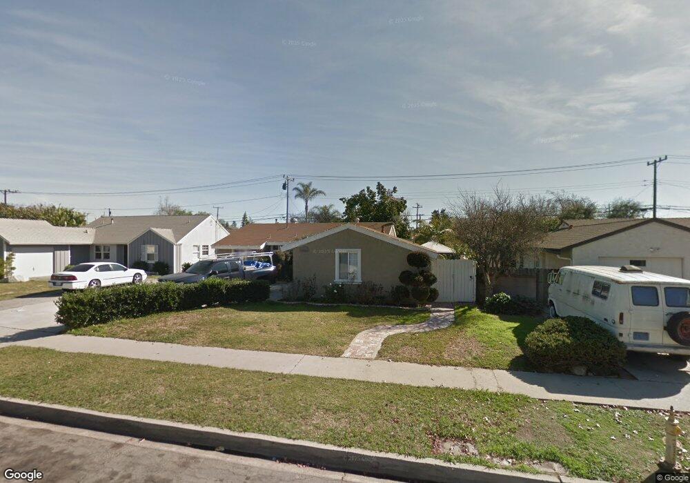
9462 Firebird Ave Whittier, CA 90605
South Whittier NeighborhoodEstimated Value: $658,000 - $771,000
3
Beds
1
Bath
1,149
Sq Ft
$630/Sq Ft
Est. Value
About This Home
This home is located at 9462 Firebird Ave, Whittier, CA 90605 and is currently estimated at $723,946, approximately $630 per square foot. 9462 Firebird Ave is a home located in Los Angeles County with nearby schools including Laurel Elementary School, Hillview Middle School, and Pioneer High School.
Ownership History
Date
Name
Owned For
Owner Type
Purchase Details
Closed on
Apr 13, 2012
Sold by
Nunez Francisco
Bought by
Nunez Francisco and Nunez Lucila Guerrero
Current Estimated Value
Purchase Details
Closed on
Jan 29, 2003
Sold by
Estrella Gabino
Bought by
Nunez Francisco
Purchase Details
Closed on
Jul 11, 1994
Sold by
Botiller Rebecca Marie and Rebecca Botiller Trust
Bought by
Nunez Francisco
Home Financials for this Owner
Home Financials are based on the most recent Mortgage that was taken out on this home.
Original Mortgage
$142,332
Interest Rate
8.8%
Mortgage Type
FHA
Create a Home Valuation Report for This Property
The Home Valuation Report is an in-depth analysis detailing your home's value as well as a comparison with similar homes in the area
Home Values in the Area
Average Home Value in this Area
Purchase History
| Date | Buyer | Sale Price | Title Company |
|---|---|---|---|
| Nunez Francisco | -- | None Available | |
| Nunez Francisco | -- | -- | |
| Nunez Francisco | $145,000 | Southland Title |
Source: Public Records
Mortgage History
| Date | Status | Borrower | Loan Amount |
|---|---|---|---|
| Previous Owner | Nunez Francisco | $142,332 |
Source: Public Records
Tax History
| Year | Tax Paid | Tax Assessment Tax Assessment Total Assessment is a certain percentage of the fair market value that is determined by local assessors to be the total taxable value of land and additions on the property. | Land | Improvement |
|---|---|---|---|---|
| 2025 | $3,633 | $286,976 | $193,486 | $93,490 |
| 2024 | $3,633 | $281,350 | $189,693 | $91,657 |
| 2023 | $3,571 | $275,834 | $185,974 | $89,860 |
| 2022 | $3,493 | $270,427 | $182,328 | $88,099 |
| 2021 | $3,423 | $265,125 | $178,753 | $86,372 |
| 2019 | $3,353 | $257,263 | $173,452 | $83,811 |
| 2018 | $3,218 | $252,219 | $170,051 | $82,168 |
| 2016 | $3,043 | $242,427 | $163,449 | $78,978 |
| 2015 | $3,021 | $238,786 | $160,994 | $77,792 |
| 2014 | $2,983 | $234,110 | $157,841 | $76,269 |
Source: Public Records
Map
Nearby Homes
- 9344 Firebird Ave
- 9563 Greening Ave
- 9308 Tarryton Ave
- 9551 Barkerville Ave
- 13649 Lanning Dr
- 13856 Mulberry Dr
- 13448 Dunton Dr
- 13814 Mystic St
- 13414 Reis St
- 13561 Close St
- 13840 Danbrook Dr
- 10202 Mina Ave
- 10035 Ben Hur Ave
- 14016 Light St
- 13924 Anola St
- 13838 Cornishcrest Rd
- 12718 Shreve Rd
- 13751 Bentongrove Dr
- 12822 Danbrook Dr
- 8720 Villa Dr
- 9468 Firebird Ave
- 9456 Firebird Ave
- 9439 Tarryton Ave
- 9433 Tarryton Ave
- 9445 Tarryton Ave
- 9474 Firebird Ave
- 9450 Firebird Ave
- 9427 Tarryton Ave
- 9461 Firebird Ave
- 9451 Tarryton Ave
- 9467 Firebird Ave
- 9473 Firebird Ave
- 9480 Firebird Ave
- 9448 Firebird Ave
- 9503 Tarryton Ave
- 9440 Firebird Ave
- 9479 Firebird Ave
- 9432 Tarryton Ave
- 13603 Allerton St
- 9486 Firebird Ave
Your Personal Tour Guide
Ask me questions while you tour the home.