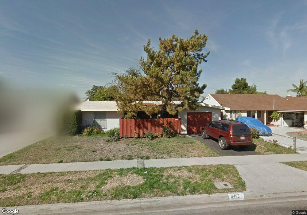
9485 Firebird Ave Unit 2279266-55017 Whittier, CA 90605
South Whittier NeighborhoodEstimated Value: $721,000 - $738,282
3
Beds
5
Baths
1,110
Sq Ft
$658/Sq Ft
Est. Value
About This Home
This home is located at 9485 Firebird Ave Unit 2279266-55017, Whittier, CA 90605 and is currently estimated at $730,571, approximately $658 per square foot. 9485 Firebird Ave Unit 2279266-55017 is a home located in Los Angeles County with nearby schools including Laurel Elementary School, Hillview Middle School, and Pioneer High School.
Ownership History
Date
Name
Owned For
Owner Type
Purchase Details
Closed on
Jun 22, 2021
Sold by
Gaskins Family Trust and Gaskins Richard Paul
Bought by
Gaskins Kenneth J
Current Estimated Value
Purchase Details
Closed on
Mar 26, 2008
Sold by
Boothroyd Janet L and Gaskins Richard Paul
Bought by
Boothroyd Janet L
Purchase Details
Closed on
Feb 20, 1996
Sold by
Gaskins Richard P
Bought by
Gaskins Richard Paul and Gaskins Barbara Jean
Create a Home Valuation Report for This Property
The Home Valuation Report is an in-depth analysis detailing your home's value as well as a comparison with similar homes in the area
Home Values in the Area
Average Home Value in this Area
Purchase History
| Date | Buyer | Sale Price | Title Company |
|---|---|---|---|
| Gaskins Kenneth J | -- | None Listed On Document | |
| Boothroyd Janet L | -- | None Available | |
| Boothroyd Janet L | -- | None Available | |
| Gaskins Richard Paul | -- | -- |
Source: Public Records
Tax History Compared to Growth
Tax History
| Year | Tax Paid | Tax Assessment Tax Assessment Total Assessment is a certain percentage of the fair market value that is determined by local assessors to be the total taxable value of land and additions on the property. | Land | Improvement |
|---|---|---|---|---|
| 2025 | $7,351 | $629,442 | $442,170 | $187,272 |
| 2024 | $7,351 | $617,100 | $433,500 | $183,600 |
| 2023 | $7,222 | $605,000 | $425,000 | $180,000 |
| 2022 | $1,223 | $66,008 | $36,006 | $30,002 |
| 2021 | $1,195 | $64,714 | $35,300 | $29,414 |
| 2020 | $1,183 | $64,052 | $34,939 | $29,113 |
| 2019 | $1,171 | $62,797 | $34,254 | $28,543 |
| 2018 | $1,075 | $61,567 | $33,583 | $27,984 |
| 2016 | $1,008 | $59,179 | $32,280 | $26,899 |
| 2015 | $998 | $58,291 | $31,796 | $26,495 |
| 2014 | $993 | $57,150 | $31,174 | $25,976 |
Source: Public Records
Map
Nearby Homes
- 9551 Barkerville Ave
- 13426 Anola St
- 9534 Painter Ave
- 13856 Mulberry Dr
- 13649 Reis St
- 13414 Reis St
- 10123 Lanett Ave
- 13535 Dunton Dr
- 13762 Danbrook Dr
- 14042 Hawes St
- 10246 Parkinson Ave
- 14033 Oval Dr
- 9009 Bluford Ave
- 9020 Bright Ave
- 10035 Ben Hur Ave
- 9127 Greenleaf Ave
- 8603 Laurel Ave
- 14037 Mystic St
- 12732 McGee Dr
- 12718 Shreve Rd
- 9485 Firebird Ave
- 9491 Firebird Ave
- 9479 Firebird Ave
- 9458 Greening Ave
- 9464 Greening Ave
- 9505 Firebird Ave
- 9473 Firebird Ave
- 9502 Greening Ave
- 9486 Firebird Ave
- 9446 Greening Ave
- 9480 Firebird Ave
- 9502 Firebird Ave
- 9513 Firebird Ave
- 9467 Firebird Ave
- 9474 Firebird Ave
- 9508 Greening Ave
- 9440 Greening Ave
- 9508 Firebird Ave
- 9468 Firebird Ave
- 9519 Firebird Ave