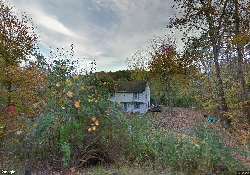
94A Riverside Rd Sandy Hook, CT 06482
Estimated Value: $550,364 - $678,000
3
Beds
3
Baths
2,036
Sq Ft
$297/Sq Ft
Est. Value
About This Home
This home is located at 94A Riverside Rd, Sandy Hook, CT 06482 and is currently estimated at $604,341, approximately $296 per square foot. 94A Riverside Rd is a home located in Fairfield County with nearby schools including Sandy Hook Elementary School, Reed Intermediate School, and Newtown Middle School.
Ownership History
Date
Name
Owned For
Owner Type
Purchase Details
Closed on
Feb 2, 1994
Sold by
Matschke Marilyn
Bought by
Gregory Daniel and Curesky Catherine
Current Estimated Value
Create a Home Valuation Report for This Property
The Home Valuation Report is an in-depth analysis detailing your home's value as well as a comparison with similar homes in the area
Home Values in the Area
Average Home Value in this Area
Purchase History
| Date | Buyer | Sale Price | Title Company |
|---|---|---|---|
| Gregory Daniel | $161,000 | -- | |
| Gregory Daniel | $161,000 | -- |
Source: Public Records
Mortgage History
| Date | Status | Borrower | Loan Amount |
|---|---|---|---|
| Open | Gregory Daniel | $185,000 | |
| Closed | Gregory Daniel | $150,000 | |
| Closed | Gregory Daniel | $50,000 |
Source: Public Records
Tax History
| Year | Tax Paid | Tax Assessment Tax Assessment Total Assessment is a certain percentage of the fair market value that is determined by local assessors to be the total taxable value of land and additions on the property. | Land | Improvement |
|---|---|---|---|---|
| 2025 | $7,869 | $273,800 | $57,600 | $216,200 |
| 2024 | $7,384 | $273,800 | $57,600 | $216,200 |
| 2023 | $7,185 | $273,800 | $57,600 | $216,200 |
| 2022 | $6,746 | $194,590 | $60,770 | $133,820 |
| 2021 | $6,743 | $194,590 | $60,770 | $133,820 |
| 2020 | $6,764 | $194,590 | $60,770 | $133,820 |
| 2019 | $6,766 | $194,590 | $60,770 | $133,820 |
| 2018 | $6,663 | $194,590 | $60,770 | $133,820 |
| 2017 | $6,472 | $191,080 | $61,770 | $129,310 |
| 2016 | $6,420 | $191,080 | $61,770 | $129,310 |
| 2015 | $6,319 | $191,080 | $61,770 | $129,310 |
| 2014 | $6,365 | $191,080 | $61,770 | $129,310 |
Source: Public Records
Map
Nearby Homes
- 41 Chipmunk Trail
- 108 Riverside Rd
- 16A Pole Bridge Rd
- 22 Misty Vale Rd
- 89 Alpine Dr
- 17 Buttonball Dr
- 22 Hemlock Trail
- 4 Sunnyview Terrace
- 12 Skidmore Ln
- 1 Owl Ridge Ln
- 6 Crestwood Dr
- 3 Owl Ridge Ln
- 23 Fawnwood Rd
- 7 Dayton St
- 56 Walnut Tree Hill Rd
- 123 Louis Hill Rd
- 105 Lower Fish Rock Rd
- 25 Saint George Place
- 140 Lake Ridge Rd
- 105 Lake Ridge Rd
- 94 Riverside Rd
- 79 Riverside Rd
- 92 Riverside Rd
- 81 Riverside Rd
- 96 Riverside Rd
- 2 Timbermill Rd
- 90 Riverside Rd
- 88 Riverside Rd
- 6 Timbermill Rd
- 2 Pole Bridge Rd
- 1 Timbermill Rd
- 87 Riverside Rd
- 86 Riverside Rd
- 9 Jo Mar Dr
- 11 Jo Mar Dr
- 7 Jo Mar Dr
- 8 Timbermill Rd
- 10 Timbermill Rd
- 85 Riverside Rd
- 84 Riverside Rd
Your Personal Tour Guide
Ask me questions while you tour the home.