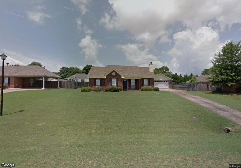
95 Allen Dr Millbrook, AL 36054
Estimated Value: $206,000 - $225,000
Studio
1
Bath
1,537
Sq Ft
$139/Sq Ft
Est. Value
About This Home
This home is located at 95 Allen Dr, Millbrook, AL 36054 and is currently estimated at $213,311, approximately $138 per square foot. 95 Allen Dr is a home located in Elmore County with nearby schools including Coosada Elementary School, Airport Road Intermediate School, and Millbrook Middle Junior High School.
Create a Home Valuation Report for This Property
The Home Valuation Report is an in-depth analysis detailing your home's value as well as a comparison with similar homes in the area
Home Values in the Area
Average Home Value in this Area
Tax History
| Year | Tax Paid | Tax Assessment Tax Assessment Total Assessment is a certain percentage of the fair market value that is determined by local assessors to be the total taxable value of land and additions on the property. | Land | Improvement |
|---|---|---|---|---|
| 2024 | $600 | $18,480 | $0 | $0 |
| 2023 | $561 | $174,660 | $30,000 | $144,660 |
| 2022 | $426 | $15,602 | $3,000 | $12,602 |
| 2021 | $398 | $14,692 | $3,000 | $11,692 |
| 2020 | $389 | $14,392 | $3,000 | $11,392 |
| 2019 | $362 | $13,482 | $3,000 | $10,482 |
| 2018 | $370 | $13,770 | $3,000 | $10,770 |
| 2017 | $376 | $13,960 | $3,002 | $10,958 |
| 2016 | $434 | $28,460 | $6,000 | $22,460 |
| 2014 | $458 | $150,280 | $30,000 | $120,280 |
Source: Public Records
Map
Nearby Homes
- 169 Harris Dr
- 59 Ridgeview Dr
- 371 Ridgeview Dr
- 166 Gardenia Rd
- 7 Crestwood Ct
- 23 Crestwood Ct
- 33 Crestwood Ct
- 348 Honeysuckle Dr
- 227 Azalea Dr
- 143 Camellia Ct
- 288 Mill Ridge Dr
- 150 Cotton Blossom Rd
- 115 Pine Meadows Cir
- 173 Brittany Dr S
- 0 Alabama 14 Unit 582165
- 111 Deatsville Hwy
- 40 Tybee Cove
- 39 Turtle Dr
- 232 Nixon Rd
- 471 Nixon Rd
Your Personal Tour Guide
Ask me questions while you tour the home.