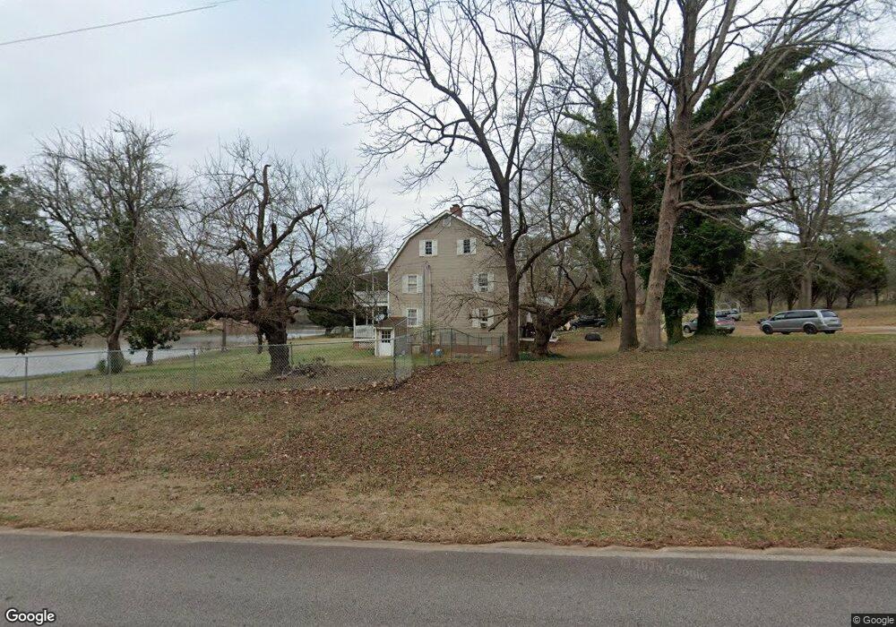
95 E Mays Rd Stockbridge, GA 30281
Estimated Value: $429,000 - $510,000
5
Beds
4
Baths
3,512
Sq Ft
$134/Sq Ft
Est. Value
About This Home
This home is located at 95 E Mays Rd, Stockbridge, GA 30281 and is currently estimated at $471,859, approximately $134 per square foot. 95 E Mays Rd is a home located in Henry County with nearby schools including Austin Road Elementary School, Austin Road Middle School, and Woodland High School.
Ownership History
Date
Name
Owned For
Owner Type
Purchase Details
Closed on
Feb 13, 2002
Sold by
Fontaine Bernard A and Fontaine Silvia N
Bought by
Byrd Richard A and Byrd Eva M
Current Estimated Value
Home Financials for this Owner
Home Financials are based on the most recent Mortgage that was taken out on this home.
Original Mortgage
$244,150
Outstanding Balance
$101,381
Interest Rate
7.12%
Mortgage Type
New Conventional
Estimated Equity
$370,478
Create a Home Valuation Report for This Property
The Home Valuation Report is an in-depth analysis detailing your home's value as well as a comparison with similar homes in the area
Home Values in the Area
Average Home Value in this Area
Purchase History
| Date | Buyer | Sale Price | Title Company |
|---|---|---|---|
| Byrd Richard A | $257,000 | -- |
Source: Public Records
Mortgage History
| Date | Status | Borrower | Loan Amount |
|---|---|---|---|
| Open | Byrd Richard A | $244,150 |
Source: Public Records
Tax History Compared to Growth
Tax History
| Year | Tax Paid | Tax Assessment Tax Assessment Total Assessment is a certain percentage of the fair market value that is determined by local assessors to be the total taxable value of land and additions on the property. | Land | Improvement |
|---|---|---|---|---|
| 2025 | $6,539 | $164,400 | $25,000 | $139,400 |
| 2024 | $6,539 | $145,840 | $22,520 | $123,320 |
| 2023 | $5,470 | $141,560 | $21,680 | $119,880 |
| 2022 | $4,809 | $124,320 | $20,040 | $104,280 |
| 2021 | $3,781 | $97,520 | $17,200 | $80,320 |
| 2020 | $3,638 | $93,800 | $16,200 | $77,600 |
| 2019 | $3,449 | $88,880 | $15,360 | $73,520 |
| 2018 | $3,271 | $84,240 | $14,200 | $70,040 |
| 2016 | $2,926 | $75,240 | $11,080 | $64,160 |
| 2015 | $2,341 | $65,480 | $12,760 | $52,720 |
| 2014 | $2,375 | $65,720 | $12,760 | $52,960 |
Source: Public Records
Map
Nearby Homes
- 231 Sorrow Rd
- 0 E Mays Rd Unit 10496305
- 373 Vicki Ln
- 1110 Estates Ct
- 157 Hambrick Dr
- 0 Flat Shoals Church Rd Unit 10642485
- 0 Flat Shoals Church Rd Unit 10642435
- 0 Flat Shoals Church Rd Unit 10642461
- 509 Tall Pines Ct
- 2471 Old Conyers Rd
- 293 Ironwood Dr
- 6079 Highway 155 N
- 2100 Highway 138 E
- 5339 Highway 155 N
- 128 Crown Glen Way
- 120 Bowen Rd
- 88 Bowen Rd
- 3710 Highway 155 SW
- 1100 Gardner Rd
- 480 Sorrow Rd
- 99 E Mays Rd
- 111 E Mays Rd
- 111 E Mays Rd
- 285 Flat Shoals Church Rd
- 152 E Mays Rd
- 162 E Mays Rd
- 25 E Mays Rd
- 199 E Mays Rd
- 291 Flat Shoals Church Rd
- 100 E Mays Rd
- 00 E Mays Rd
- 279 Flat Shoals Church Rd
- 400 Sorrow Rd
- 400 Sorrow Rd Unit 30
- 485 Flat Shoals Church Rd
- 293 Flat Shoals Church Rd
- 456 Sorrow Rd Unit 45
- 456 Sorrow Rd
- 452 Sorrow Rd