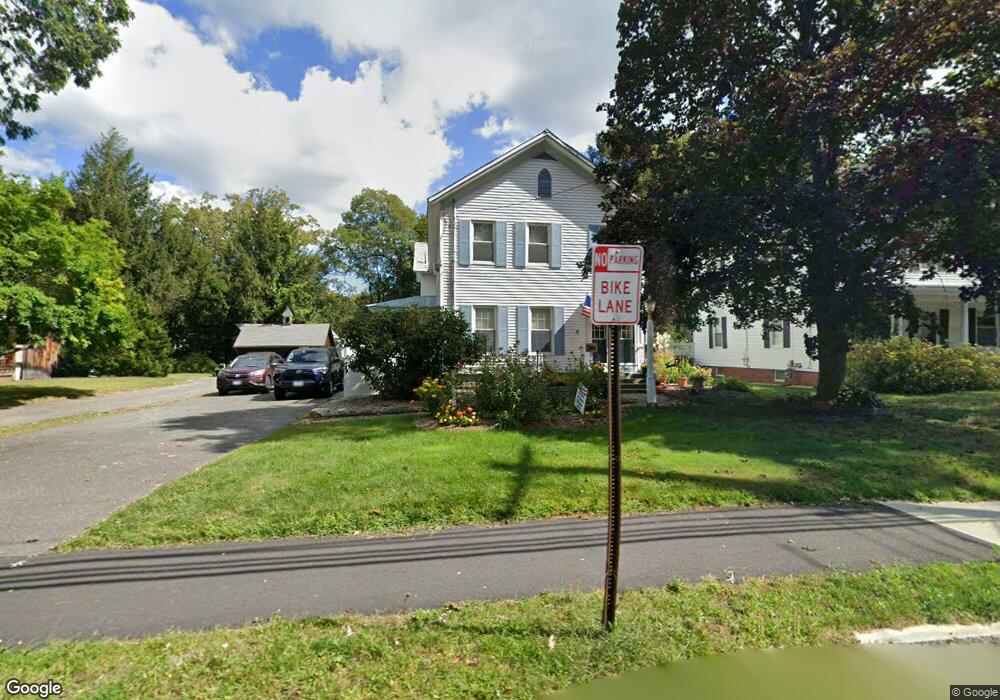
95 N Main St Florence, MA 01062
Florence NeighborhoodEstimated Value: $543,000 - $597,000
6
Beds
2
Baths
2,892
Sq Ft
$200/Sq Ft
Est. Value
About This Home
This home is located at 95 N Main St, Florence, MA 01062 and is currently estimated at $578,405, approximately $200 per square foot. 95 N Main St is a home located in Hampshire County with nearby schools including Northampton High School, The Montessori School of Northampton, and Lander Grinspoon Academy.
Ownership History
Date
Name
Owned For
Owner Type
Purchase Details
Closed on
Dec 5, 2014
Sold by
Laflam Bernard P and Laflam Linda A
Bought by
Laflam Amanda J and Laflam Bernard P
Current Estimated Value
Purchase Details
Closed on
May 1, 1977
Bought by
Laflam Bernard and Laflam Linda A
Create a Home Valuation Report for This Property
The Home Valuation Report is an in-depth analysis detailing your home's value as well as a comparison with similar homes in the area
Home Values in the Area
Average Home Value in this Area
Purchase History
| Date | Buyer | Sale Price | Title Company |
|---|---|---|---|
| Laflam Amanda J | -- | -- | |
| Laflam Bernard | $36,000 | -- |
Source: Public Records
Mortgage History
| Date | Status | Borrower | Loan Amount |
|---|---|---|---|
| Previous Owner | Laflam Bernard | $255,000 | |
| Previous Owner | Laflam Bernard | $130,000 |
Source: Public Records
Tax History
| Year | Tax Paid | Tax Assessment Tax Assessment Total Assessment is a certain percentage of the fair market value that is determined by local assessors to be the total taxable value of land and additions on the property. | Land | Improvement |
|---|---|---|---|---|
| 2025 | $7,092 | $509,100 | $171,900 | $337,200 |
| 2024 | $6,548 | $431,100 | $150,200 | $280,900 |
| 2023 | $5,506 | $347,600 | $136,500 | $211,100 |
| 2022 | $5,893 | $329,400 | $127,700 | $201,700 |
| 2021 | $5,650 | $325,300 | $121,700 | $203,600 |
| 2020 | $5,465 | $325,300 | $121,700 | $203,600 |
| 2019 | $5,621 | $323,600 | $121,700 | $201,900 |
| 2018 | $5,201 | $305,200 | $121,700 | $183,500 |
| 2017 | $5,094 | $305,200 | $121,700 | $183,500 |
| 2016 | $4,932 | $305,200 | $121,700 | $183,500 |
| 2015 | $5,203 | $329,300 | $131,700 | $197,600 |
| 2014 | $5,068 | $329,300 | $131,700 | $197,600 |
Source: Public Records
Map
Nearby Homes
- 67 Park St Unit A
- 67 Park St Unit B
- 67 Park St Unit D
- 76 Maple St
- 2 Juniper Place
- 37 Landy Ave
- 575 Bridge Rd Unit 12-7
- 42 Clark St
- 0 Terrace Ln
- 63 Riverside Dr
- 296 Ryan Rd Unit A
- 296 Ryan Rd
- 296 Ryan Rd Unit B
- 53 E Center St
- 88 Pines Edge Dr Unit 88
- 139 Water St
- 48 Evergreen Rd Unit 306
- 0 Haydenville Rd
- 61 Woodlawn Ave
- 44 Evergreen Rd Unit 302