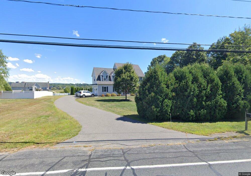
95 N Maple St Hadley, MA 01035
Estimated Value: $563,000 - $654,000
4
Beds
3
Baths
2,200
Sq Ft
$282/Sq Ft
Est. Value
About This Home
This home is located at 95 N Maple St, Hadley, MA 01035 and is currently estimated at $621,147, approximately $282 per square foot. 95 N Maple St is a home located in Hampshire County with nearby schools including Hadley Elementary School, Pioneer Valley Chinese Immersion Charter School, and The Common School.
Ownership History
Date
Name
Owned For
Owner Type
Purchase Details
Closed on
Nov 18, 2024
Sold by
Galvin Patrick
Bought by
North Maple Ret and Galvin
Current Estimated Value
Purchase Details
Closed on
Oct 28, 2009
Sold by
Gralinski Edward J and Gralinski Diane J
Bought by
Galvin Patrick
Purchase Details
Closed on
Jul 23, 2009
Sold by
Gralinski Edward J and Gralinski Diane
Bought by
Kaindl Matthias
Create a Home Valuation Report for This Property
The Home Valuation Report is an in-depth analysis detailing your home's value as well as a comparison with similar homes in the area
Home Values in the Area
Average Home Value in this Area
Purchase History
| Date | Buyer | Sale Price | Title Company |
|---|---|---|---|
| North Maple Ret | -- | None Available | |
| North Maple Ret | -- | None Available | |
| Galvin Patrick | $142,000 | -- | |
| Galvin Patrick | $142,000 | -- | |
| Kaindl Matthias | $142,000 | -- | |
| Galvin Patrick | $142,000 | -- | |
| Kaindl Matthias | $142,000 | -- |
Source: Public Records
Tax History Compared to Growth
Tax History
| Year | Tax Paid | Tax Assessment Tax Assessment Total Assessment is a certain percentage of the fair market value that is determined by local assessors to be the total taxable value of land and additions on the property. | Land | Improvement |
|---|---|---|---|---|
| 2025 | $6,257 | $538,000 | $133,600 | $404,400 |
| 2024 | $6,006 | $527,300 | $133,600 | $393,700 |
| 2023 | $5,742 | $497,600 | $133,600 | $364,000 |
| 2022 | $5,302 | $435,300 | $133,600 | $301,700 |
| 2021 | $5,153 | $429,400 | $133,600 | $295,800 |
| 2020 | $5,216 | $408,100 | $133,600 | $274,500 |
| 2019 | $5,044 | $408,100 | $133,600 | $274,500 |
| 2018 | $4,934 | $408,100 | $133,600 | $274,500 |
| 2017 | $4,665 | $403,200 | $133,600 | $269,600 |
| 2016 | $4,496 | $403,200 | $133,600 | $269,600 |
| 2015 | $4,379 | $403,200 | $133,600 | $269,600 |
| 2014 | -- | $403,200 | $133,600 | $269,600 |
Source: Public Records
Map
Nearby Homes
- 24 S Sunset Ave
- 26 Greenleaves Dr Unit 620
- 328 Russell St
- 18 N Prospect St
- 65 N Prospect St
- 7 Roosevelt St
- 88 Farview Way
- 48 Gray St
- 39 Valley Ln
- 161 Chestnut St
- 170 E Hadley Rd Unit 123
- 170 E Hadley Rd Unit 46
- 0 Red Gate Ln Unit 73348273
- 16 Rocky Hill Rd
- 136 Main St
- 58 Main St Unit 4
- 58 Main St Unit 3
- 305 Strong St
- 11 Sheerman Ln
- 0 W Pomeroy Ln
- 92 N Maple St
- 2 Plainville Rd
- 91 N Maple St
- 101 N Maple St
- 4 Plainville Rd
- 198 Rocky Hill Rd
- 196 Rocky Hill Rd
- 194 Rocky Hill Rd
- 103 N Maple St
- 6 Plainville Rd
- 202 Rocky Hill Rd
- 199 Rocky Hill Rd
- 203 Rocky Hill Rd
- 197 Rocky Hill Rd
- 85 N Maple St
- 193 Rocky Hill Rd
- 106 N Maple St
- 83 N Maple St
- 108 N Maple St
- 110 N Maple St