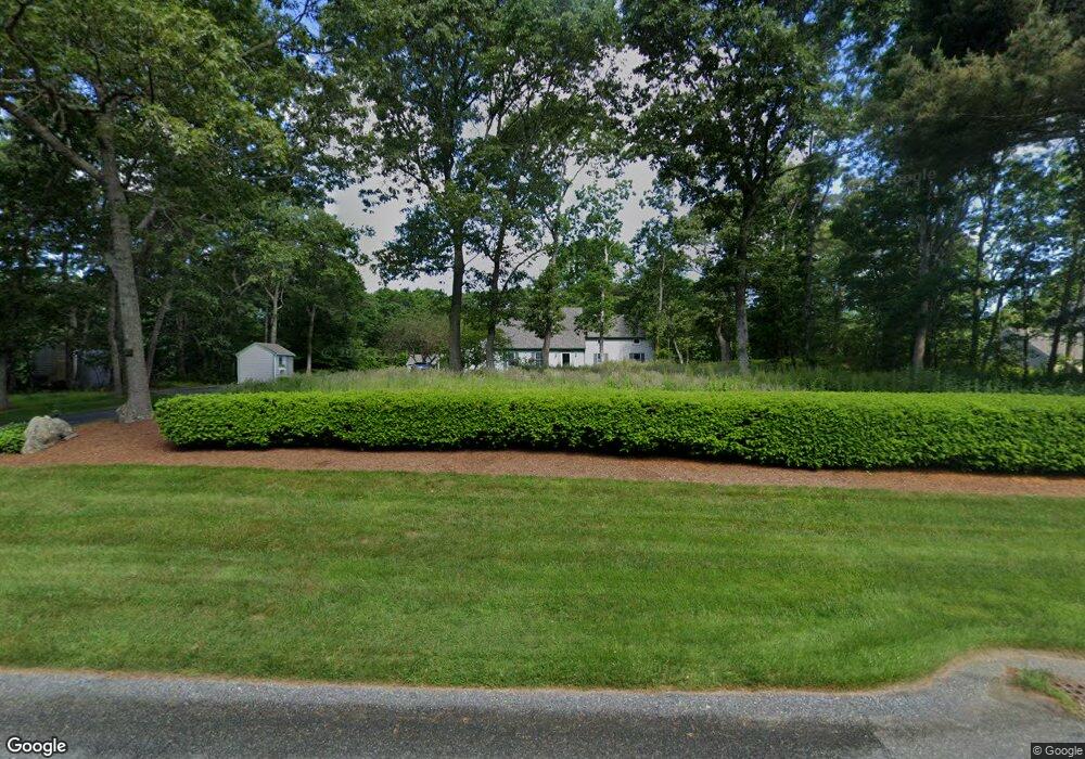
95 N Winds Ln West Barnstable, MA 02668
West Barnstable NeighborhoodEstimated Value: $832,000 - $945,000
3
Beds
3
Baths
2,578
Sq Ft
$345/Sq Ft
Est. Value
About This Home
This home is located at 95 N Winds Ln, West Barnstable, MA 02668 and is currently estimated at $890,494, approximately $345 per square foot. 95 N Winds Ln is a home located in Barnstable County with nearby schools including West Barnstable Elementary School, Barnstable United Elementary School, and Barnstable Intermediate School.
Create a Home Valuation Report for This Property
The Home Valuation Report is an in-depth analysis detailing your home's value as well as a comparison with similar homes in the area
Home Values in the Area
Average Home Value in this Area
Tax History
| Year | Tax Paid | Tax Assessment Tax Assessment Total Assessment is a certain percentage of the fair market value that is determined by local assessors to be the total taxable value of land and additions on the property. | Land | Improvement |
|---|---|---|---|---|
| 2025 | $7,628 | $816,700 | $177,400 | $639,300 |
| 2024 | $6,748 | $786,500 | $177,400 | $609,100 |
| 2023 | $6,461 | $709,200 | $161,400 | $547,800 |
| 2022 | $6,472 | $582,500 | $119,900 | $462,600 |
| 2021 | $6,106 | $521,000 | $119,900 | $401,100 |
| 2020 | $5,824 | $480,500 | $127,700 | $352,800 |
| 2019 | $5,477 | $446,000 | $127,700 | $318,300 |
| 2018 | $5,074 | $409,500 | $134,300 | $275,200 |
| 2017 | $4,875 | $398,300 | $134,300 | $264,000 |
| 2016 | $4,810 | $401,200 | $137,200 | $264,000 |
| 2015 | $4,905 | $410,100 | $130,200 | $279,900 |
Source: Public Records
Map
Nearby Homes
- 510 Cedar St
- 6 Harpers Hollow
- 46 Service Rd
- 7 Maxwell Ln
- 159 Great Hill Rd
- 29 Fish House Rd
- 3 Mulberry Cir
- 817 Race Ln
- 817 Race Ln
- 4 Wing Blvd
- 566 Route 6a
- 6 George Gallant Rd
- 282 Parker Rd
- 82 Old Fields Rd
- 0 Captain Kidd Rd
- 80 Branch Terrace
- 74 Saddler Ln
- 507 Route 6a Unit 9
- 318 Old Mill Rd
- 29 Appaloosa Way
- 75 N Winds Ln
- 115 N Winds Ln
- 66 Capes Trail
- 100 N Winds Ln
- 120 Berkshire Trail
- 80 N Winds Ln
- 65 N Winds Ln
- 100 Berkshire Trail
- 130 Berkshire Trail
- 70 N Winds Ln
- 49 Capes Trail
- 65 Capes Trail
- 150 Berkshire Trail
- 6 Capes Trail
- 0 Berkshire Trail
- 35 N Winds Ln
- 19 Capes Trail
- 35 Capes Trail
- 5 N Winds Ln
- 77 Capes Trail
Your Personal Tour Guide
Ask me questions while you tour the home.