95 Upper Scenic Dr Dillard, GA 30537
Estimated Value: $1,052,018 - $1,472,000
4
Beds
4
Baths
4,196
Sq Ft
$289/Sq Ft
Est. Value
About This Home
This home is located at 95 Upper Scenic Dr, Dillard, GA 30537 and is currently estimated at $1,214,505, approximately $289 per square foot. 95 Upper Scenic Dr is a home located in Rabun County with nearby schools including Rabun County Primary School and Rabun County High School.
Ownership History
Date
Name
Owned For
Owner Type
Purchase Details
Closed on
May 6, 2015
Sold by
Gehrisch Fred
Bought by
Mccurdy James Gordon and Lovette Mccurdy Shawn Marie
Current Estimated Value
Purchase Details
Closed on
Mar 1, 2003
Bought by
Gehrisch Frederick M
Create a Home Valuation Report for This Property
The Home Valuation Report is an in-depth analysis detailing your home's value as well as a comparison with similar homes in the area
Home Values in the Area
Average Home Value in this Area
Purchase History
| Date | Buyer | Sale Price | Title Company |
|---|---|---|---|
| Mccurdy James Gordon | $625,000 | -- | |
| Mccurdy James Gordon | $625,000 | -- | |
| Gehrisch Frederick M | $70,000 | -- | |
| Gehrisch Frederick M | $70,000 | -- |
Source: Public Records
Tax History Compared to Growth
Tax History
| Year | Tax Paid | Tax Assessment Tax Assessment Total Assessment is a certain percentage of the fair market value that is determined by local assessors to be the total taxable value of land and additions on the property. | Land | Improvement |
|---|---|---|---|---|
| 2025 | $5,085 | $329,594 | $50,400 | $279,194 |
| 2024 | $4,940 | $309,781 | $50,400 | $259,381 |
| 2023 | $5,164 | $284,141 | $50,400 | $233,741 |
| 2022 | $5,023 | $276,420 | $50,400 | $226,020 |
| 2021 | $4,721 | $253,802 | $50,400 | $203,402 |
| 2020 | $4,805 | $249,748 | $50,400 | $199,348 |
| 2019 | $4,558 | $235,348 | $36,000 | $199,348 |
| 2018 | $4,575 | $235,348 | $36,000 | $199,348 |
| 2017 | $4,387 | $235,348 | $36,000 | $199,348 |
| 2016 | $4,399 | $235,348 | $36,000 | $199,348 |
| 2015 | $3,829 | $198,829 | $36,000 | $162,829 |
| 2014 | -- | $198,829 | $36,000 | $162,829 |
Source: Public Records
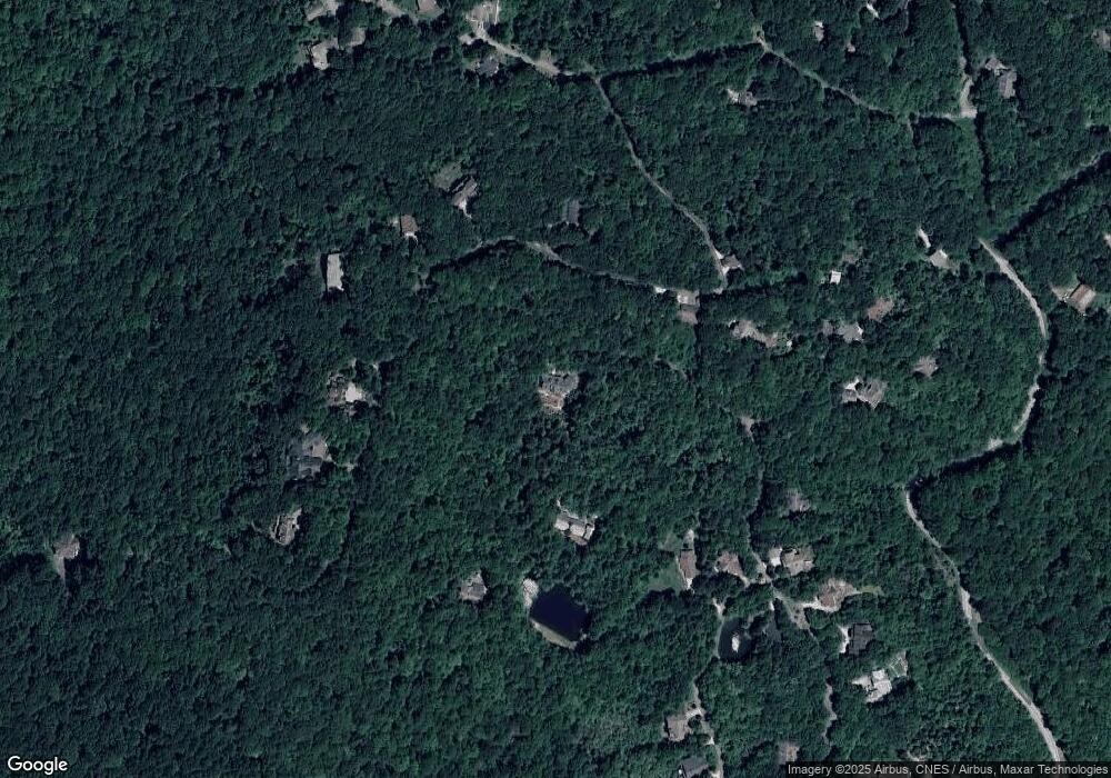
Map
Nearby Homes
- 198 Upper Scenic Dr
- 0 Honey Bear Ln Unit 10595313
- 3315 Bald Mountain Rd
- 0 Bald Mountain Rd Unit LOT 8 10361713
- 0 Bald Mountain Rd Unit 55,57 10472239
- 115 Dam Lake Dr
- 249 Dalton Dr
- 0 Maple Leaf Unit TRACT 6 10609401
- 10384 Hale Ridge Rd
- 63 Mashie Ln
- 0 LOT 66 Eagle Cir
- 6 Thunderhead Ln
- 0 Thunderhead Ln Unit 10636844
- 334 Eagle Cir
- 767 Driver Ln
- 70 Fairway Ln
- Lot 171 Ridge Pole Estates
- 48 Little Bear Trail
- 3 Berkshire Ln Unit 3
- 3 Berkshire Ln Unit 5
- 343 Ford Mountain Rd
- 79 Rainbow Lake Dr
- 430 Ford Mountain Rd
- 453 Scenic Dr
- 441 Honey Bear Ln
- 462 Ford Mountain Rd
- 112 Upper Scenic Dr
- 220 Upper Scenic Dr
- 490 Ford Mountain Rd Unit 4A
- 135 Crystal Ln
- 0 Crystal Ln Unit 55432
- 0 Bear Paw Trail NW Unit J-21 3119958
- 303 Ford Mountain Rd
- 157 Crystal Ln
- 157 Crystal Ln Unit 29
- 300 Upper Scenic Dr
- 354 Scenic Dr
- 304 Scenic Dr
- 398 Honey Bear
- 455 Scenic Dr