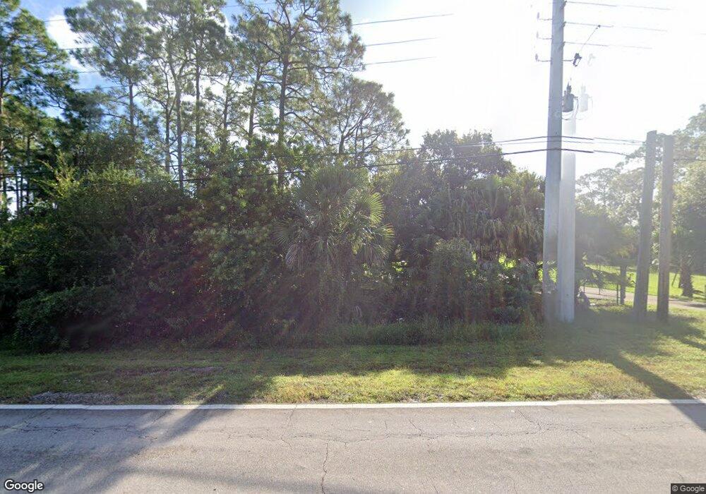
950 82nd Ave Vero Beach, FL 32966
Estimated Value: $566,390 - $847,000
3
Beds
4
Baths
2,980
Sq Ft
$224/Sq Ft
Est. Value
About This Home
This home is located at 950 82nd Ave, Vero Beach, FL 32966 and is currently estimated at $667,348, approximately $223 per square foot. 950 82nd Ave is a home located in Indian River County with nearby schools including Dodgertown Elementary School, Storm Grove Middle School, and Vero Beach High School.
Ownership History
Date
Name
Owned For
Owner Type
Purchase Details
Closed on
Apr 14, 2021
Sold by
Holtzclaw Raymond C
Bought by
Holtzclaw Raymond C
Current Estimated Value
Purchase Details
Closed on
Sep 27, 2010
Sold by
Barbarito Gerald M
Bought by
Holtzclaw Raymond C and Holtzclaw Josephine E
Home Financials for this Owner
Home Financials are based on the most recent Mortgage that was taken out on this home.
Original Mortgage
$175,000
Interest Rate
4.36%
Mortgage Type
New Conventional
Create a Home Valuation Report for This Property
The Home Valuation Report is an in-depth analysis detailing your home's value as well as a comparison with similar homes in the area
Home Values in the Area
Average Home Value in this Area
Purchase History
| Date | Buyer | Sale Price | Title Company |
|---|---|---|---|
| Holtzclaw Raymond C | -- | Lazan Lisa E | |
| Holtzclaw Raymond C | $250,000 | Attorney |
Source: Public Records
Mortgage History
| Date | Status | Borrower | Loan Amount |
|---|---|---|---|
| Previous Owner | Holtzclaw Raymond C | $175,000 |
Source: Public Records
Tax History Compared to Growth
Tax History
| Year | Tax Paid | Tax Assessment Tax Assessment Total Assessment is a certain percentage of the fair market value that is determined by local assessors to be the total taxable value of land and additions on the property. | Land | Improvement |
|---|---|---|---|---|
| 2024 | $3,184 | $277,867 | -- | -- |
| 2023 | $3,184 | $262,171 | $0 | $0 |
| 2022 | $3,314 | $254,535 | $0 | $0 |
| 2021 | $3,239 | $237,310 | $0 | $0 |
| 2020 | $3,039 | $218,564 | $72,590 | $145,974 |
| 2019 | $3,143 | $221,160 | $0 | $0 |
| 2018 | $3,106 | $217,036 | $0 | $0 |
| 2017 | $3,069 | $212,572 | $0 | $0 |
| 2016 | $3,021 | $208,200 | $0 | $0 |
| 2015 | $3,121 | $206,760 | $0 | $0 |
| 2014 | $3,047 | $205,120 | $0 | $0 |
Source: Public Records
Map
Nearby Homes
- 321 Heritage Blvd Unit 89
- 420 Union St Unit 322
- 8140 8th St
- 1101 82nd Ave Unit 76
- 320 Heritage Blvd Unit 390
- 8300 Meredith Place
- 88 Commonwealth Dr
- 433 Union St Unit 363
- 545 Plymouth St
- 560 Stoney Brook Farm Ct
- 551 Plymouth St Unit 284
- 550 Plymouth St Unit 550
- 550 Stoney Brook Farm Ct
- 554 Plymouth St Unit 554
- 812 Concord St Unit 236
- 831 Concord St Unit 831
- 1148 Friendship Dr
- 1126 Friendship Dr
- 951 W Polo Grounds Dr
- 1114 Friendship Dr
- 955 82nd Ave
- 940 82nd Ave
- 102 Congress St Unit 133
- 108 Congress St Unit 130
- 995 82nd Ct
- 975 82nd Ct
- 212 Liberty St Unit 100
- 112 Congress St
- 303 Heritage Blvd Unit 80
- 13 Village Dr Unit 2
- 955 82nd Ct
- 8220 8th St
- 116 Congress St Unit 126
- 15 Village Dr
- 120 Congress St Unit Lot 188
- 29 Colony Dr Unit 19
- 935 82nd Ct
- 24 Colony Dr
- 23 Colony Dr
- 123 Congress St
