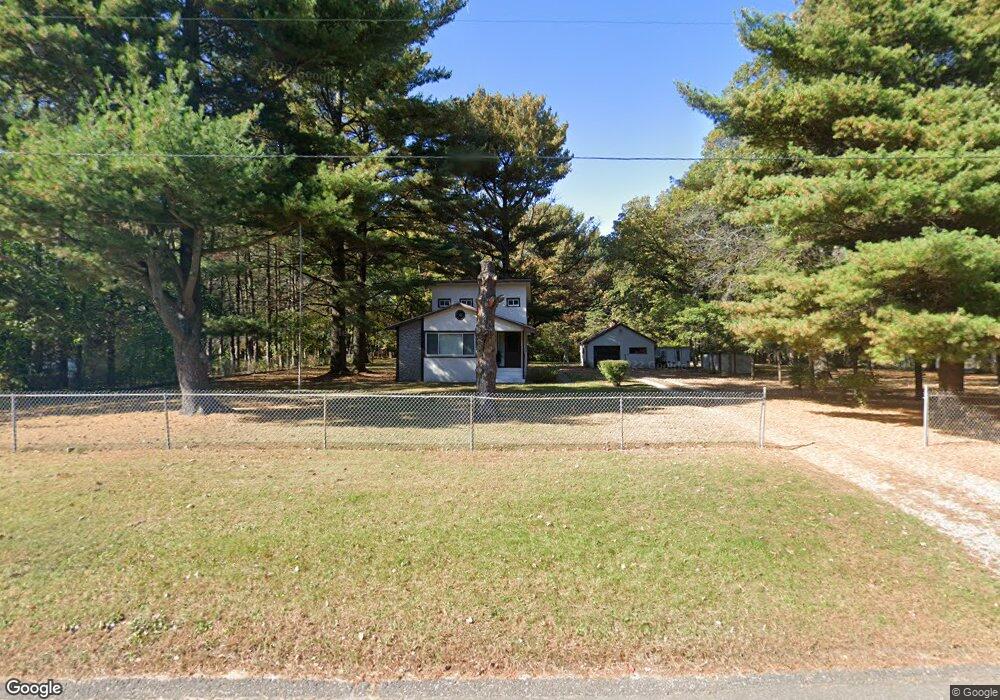
9500 Dunlap Ave Circle Pines, MN 55014
Estimated Value: $260,000 - $335,000
2
Beds
2
Baths
824
Sq Ft
$368/Sq Ft
Est. Value
About This Home
This home is located at 9500 Dunlap Ave, Circle Pines, MN 55014 and is currently estimated at $303,622, approximately $368 per square foot. 9500 Dunlap Ave is a home located in Anoka County with nearby schools including Centennial Elementary School, Centennial Middle School, and Centennial High School.
Ownership History
Date
Name
Owned For
Owner Type
Purchase Details
Closed on
Jul 23, 2014
Bought by
Hinson Kirk Kirk
Current Estimated Value
Home Financials for this Owner
Home Financials are based on the most recent Mortgage that was taken out on this home.
Original Mortgage
$118,737
Outstanding Balance
$90,340
Interest Rate
4.13%
Estimated Equity
$213,282
Create a Home Valuation Report for This Property
The Home Valuation Report is an in-depth analysis detailing your home's value as well as a comparison with similar homes in the area
Purchase History
| Date | Buyer | Sale Price | Title Company |
|---|---|---|---|
| Hinson Kirk Kirk | $136,000 | -- |
Source: Public Records
Mortgage History
| Date | Status | Borrower | Loan Amount |
|---|---|---|---|
| Open | Hinson Kirk Kirk | $118,737 |
Source: Public Records
Tax History
| Year | Tax Paid | Tax Assessment Tax Assessment Total Assessment is a certain percentage of the fair market value that is determined by local assessors to be the total taxable value of land and additions on the property. | Land | Improvement |
|---|---|---|---|---|
| 2025 | $3,016 | $264,900 | $154,400 | $110,500 |
| 2024 | $3,016 | $263,000 | $154,400 | $108,600 |
| 2023 | $2,666 | $258,200 | $148,800 | $109,400 |
| 2022 | $2,845 | $235,300 | $122,900 | $112,400 |
| 2021 | $2,685 | $208,700 | $111,500 | $97,200 |
| 2020 | $2,774 | $207,200 | $115,100 | $92,100 |
| 2019 | $2,764 | $192,700 | $108,300 | $84,400 |
| 2018 | $2,295 | $187,500 | $0 | $0 |
| 2017 | $2,203 | $158,000 | $0 | $0 |
| 2016 | $2,434 | $161,600 | $0 | $0 |
| 2015 | $2,297 | $161,600 | $99,200 | $62,400 |
| 2014 | -- | $114,600 | $58,600 | $56,000 |
Source: Public Records
Map
Nearby Homes
- 3975 Lovell Rd
- 714 Village Pkwy
- 306 Heritage Trail
- 330 Heritage Trail Unit 117
- 343 Heritage Trail
- 9105 Lexington Ave N Unit B
- 9052 Jackson Ave
- 9991 Cord St NE
- 9016 Jackson Ave
- 4145 Austin St NE
- 4185 Austin St NE
- 5 Cameo Ln Unit D
- 10216 Erskin St NE
- 104 South Dr Unit B
- 110 South Dr
- 215 Keith Rd
- 3234 89th Dr NE
- 8 Pointcross Dr
- 4842 104th Ave NE
- 4831 104th Ln NE
- 9480 Dunlap Ave
- 9532 Dunlap Ave
- 9444 Dunlap Ave
- 9515 Dunlap Ave
- 9501 Dunlap Ave
- 9491 Dunlap Ave
- 9546 Dunlap Ave
- 9481 Dunlap Ave
- 9531 Dunlap Ave
- 9450 Dunlap Ave
- 9535 Dunlap Ave
- 9451 Dunlap Ave
- 9554 Dunlap Ave
- 9535 9535 Dunlap Ave
- 9545 Dunlap Ave
- 9451 9451 Dunlap Ave
- 9440 Dunlap Ave
- 9539 Griggs Ave
- 9529 Griggs Ave
- 9481 Griggs Ave
Your Personal Tour Guide
Ask me questions while you tour the home.