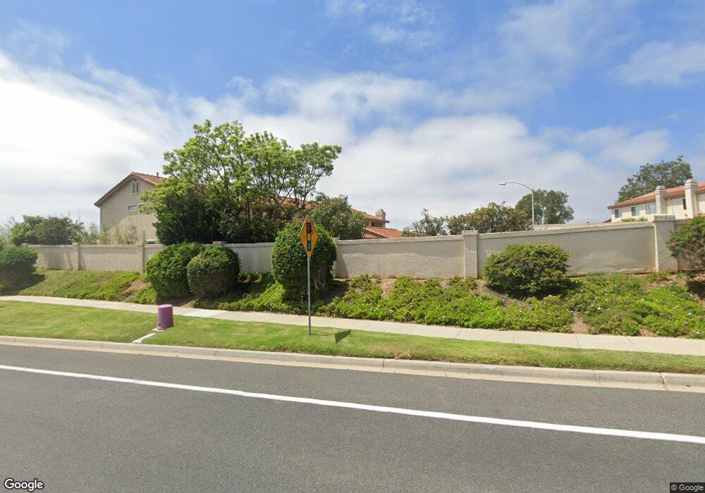
951 Fir Tree Place Unit 7 Carlsbad, CA 92011
Poinsettia NeighborhoodEstimated Value: $844,742 - $1,058,000
2
Beds
2
Baths
999
Sq Ft
$941/Sq Ft
Est. Value
About This Home
This home is located at 951 Fir Tree Place Unit 7, Carlsbad, CA 92011 and is currently estimated at $939,686, approximately $940 per square foot. 951 Fir Tree Place Unit 7 is a home located in San Diego County with nearby schools including Pacific Rim Elementary, Aviara Oaks Middle, and Sage Creek High.
Ownership History
Date
Name
Owned For
Owner Type
Purchase Details
Closed on
Oct 23, 2010
Sold by
Cameron Don Thomas and Cameron Kathy Lynne
Bought by
Circle C Llc
Current Estimated Value
Purchase Details
Closed on
Jan 10, 1996
Sold by
Cameron Don T and Cameron Kathy L
Bought by
Cameron Don Thomas and Cameron Kathy Lynne
Purchase Details
Closed on
Oct 5, 1995
Sold by
Pinto K David and E Madeleine Pinto S
Bought by
Cameron Don T and Cameron Kathy K
Home Financials for this Owner
Home Financials are based on the most recent Mortgage that was taken out on this home.
Original Mortgage
$122,500
Interest Rate
7.59%
Purchase Details
Closed on
Aug 27, 1987
Create a Home Valuation Report for This Property
The Home Valuation Report is an in-depth analysis detailing your home's value as well as a comparison with similar homes in the area
Home Values in the Area
Average Home Value in this Area
Purchase History
| Date | Buyer | Sale Price | Title Company |
|---|---|---|---|
| Circle C Llc | -- | None Available | |
| Cameron Don Thomas | -- | Southland Title | |
| Cameron Don T | $175,000 | Southland Title | |
| -- | $141,000 | -- |
Source: Public Records
Mortgage History
| Date | Status | Borrower | Loan Amount |
|---|---|---|---|
| Previous Owner | Cameron Don T | $122,500 |
Source: Public Records
Tax History Compared to Growth
Tax History
| Year | Tax Paid | Tax Assessment Tax Assessment Total Assessment is a certain percentage of the fair market value that is determined by local assessors to be the total taxable value of land and additions on the property. | Land | Improvement |
|---|---|---|---|---|
| 2025 | $3,097 | $290,692 | $155,731 | $134,961 |
| 2024 | $3,097 | $284,993 | $152,678 | $132,315 |
| 2023 | $3,080 | $279,406 | $149,685 | $129,721 |
| 2022 | $3,033 | $273,928 | $146,750 | $127,178 |
| 2021 | $3,011 | $268,558 | $143,873 | $124,685 |
| 2020 | $2,991 | $265,805 | $142,398 | $123,407 |
| 2019 | $2,938 | $260,594 | $139,606 | $120,988 |
| 2018 | $2,815 | $255,485 | $136,869 | $118,616 |
| 2017 | $2,769 | $250,477 | $134,186 | $116,291 |
| 2016 | $2,658 | $245,566 | $131,555 | $114,011 |
| 2015 | $2,647 | $241,878 | $129,579 | $112,299 |
| 2014 | $2,604 | $237,141 | $127,041 | $110,100 |
Source: Public Records
Map
Nearby Homes
- 6777 Lonicera St
- 6915 Pear Tree Dr
- 874 Marigold Ct
- 7030 Lantana Terrace
- 7013 Lavender Way
- 6557 Coneflower Dr
- 6951 Quiet Cove Dr
- 839 Skysail Ave
- 802 Spindrift Ln
- 6497 Wayfinders Ct
- 7089 Tatler Rd
- 7219 Linden Terrace
- 907 Caminito Estrada Unit E
- 803 Skysail Ave
- 909 Caminito Madrigal Unit B
- 6925 Waters End Dr
- 7124 Aviara Dr Unit D
- 6462 Camino Del Parque
- 7025 San Bartolo St Unit 42
- 7207 Santa Barbara St Unit 154
- 953 Fir Tree Place Unit 7
- 955 Fir Tree Place
- 957 Fir Tree Place
- 959 Fir Tree Place
- 6862 Peach Tree Rd
- 961 Fir Tree Place
- 951 Boxwood Ct
- 6864 Peach Tree Rd
- 955 Boxwood Ct
- 6866 Peach Tree Rd
- 957 Boxwood Ct
- 6868 Peach Tree Rd
- 6870 Peach Tree Rd
- 961 Boxwood Ct
- 6872 Peach Tree Rd
- 6861 Briarwood Dr
- 6868 Maple Leaf Dr
- 6870 Maple Leaf Dr
- 6866 Maple Leaf Dr
- 6866 Briarwood Dr