9523 Lortie Rd Monroeville, IN 46773
Estimated Value: $112,000 - $514,412
3
Beds
3
Baths
1,884
Sq Ft
$162/Sq Ft
Est. Value
About This Home
This home is located at 9523 Lortie Rd, Monroeville, IN 46773 and is currently estimated at $306,137, approximately $162 per square foot. 9523 Lortie Rd is a home located in Allen County with nearby schools including Heritage Junior/Senior High School and St Rose of Lima Catholic School.
Ownership History
Date
Name
Owned For
Owner Type
Purchase Details
Closed on
Dec 13, 2024
Sold by
Brames Patrick J
Bought by
Brames Chad M and Brames Kayla M
Current Estimated Value
Home Financials for this Owner
Home Financials are based on the most recent Mortgage that was taken out on this home.
Original Mortgage
$151,000
Outstanding Balance
$149,381
Interest Rate
6.72%
Mortgage Type
New Conventional
Estimated Equity
$156,756
Create a Home Valuation Report for This Property
The Home Valuation Report is an in-depth analysis detailing your home's value as well as a comparison with similar homes in the area
Purchase History
| Date | Buyer | Sale Price | Title Company |
|---|---|---|---|
| Brames Chad M | -- | None Listed On Document | |
| Brames Chad M | -- | None Listed On Document |
Source: Public Records
Mortgage History
| Date | Status | Borrower | Loan Amount |
|---|---|---|---|
| Open | Brames Chad M | $151,000 | |
| Closed | Brames Chad M | $151,000 |
Source: Public Records
Tax History
| Year | Tax Paid | Tax Assessment Tax Assessment Total Assessment is a certain percentage of the fair market value that is determined by local assessors to be the total taxable value of land and additions on the property. | Land | Improvement |
|---|---|---|---|---|
| 2025 | $3,302 | $60,700 | $60,700 | -- |
| 2024 | $2,816 | $359,900 | $96,700 | $263,200 |
| 2023 | $2,790 | $345,800 | $85,500 | $260,300 |
| 2022 | $2,419 | $292,600 | $73,600 | $219,000 |
| 2021 | $2,026 | $227,400 | $67,300 | $160,100 |
| 2020 | $2,062 | $231,200 | $67,100 | $164,100 |
| 2019 | $2,264 | $240,000 | $75,400 | $164,600 |
| 2018 | $2,418 | $242,800 | $76,900 | $165,900 |
| 2017 | $2,386 | $228,000 | $84,000 | $144,000 |
| 2016 | $2,373 | $222,800 | $87,200 | $135,600 |
| 2014 | $2,344 | $222,900 | $89,900 | $133,000 |
| 2013 | $2,206 | $209,000 | $81,300 | $127,700 |
Source: Public Records
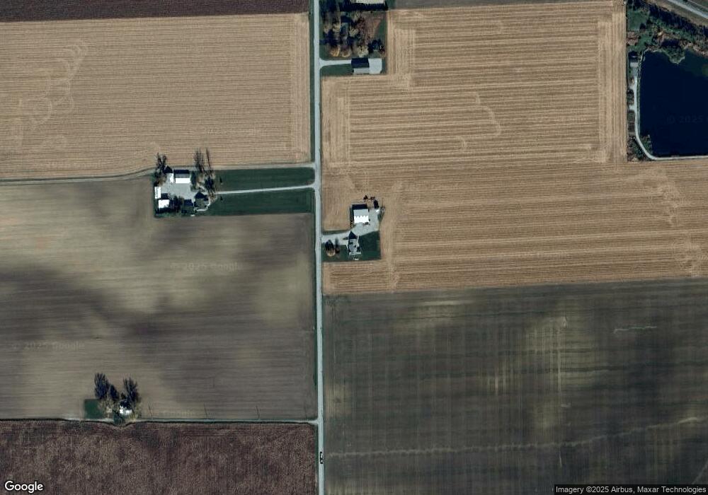
Map
Nearby Homes
- 21000 Monroeville Rd
- 404 E Forest St
- 220 Allen St
- 118 W Forest St
- 14720 State Line Rd
- 17711 Howe Rd
- 19900 Dawkins Rd
- 12031 Felt Place
- 3497 Road 49
- 503 N Webster Rd
- 607 N Webster Rd
- 820 Brian Dr
- 6576 Elm Sugar Rd
- 412 S Laura St
- 3919 Beryl Place
- 215 S Main St
- 22238 Travertine Run
- 10911 Minnich Rd
- 4220 Oak St
- 12912 Edgerton Rd
- 9303 Lortie Rd
- 9430 Lortie Rd
- 9211 Lortie Rd
- 23702 Us Highway 30
- 9120 Lortie Rd
- 9722 Lortie Rd
- 9909 Lortie Rd
- 23112 Lincoln Hwy E
- 23211 Lincoln Hwy E
- 23430 Lincoln Hwy E
- 23133 Lincoln Hwy E
- 23101 Lincoln Hwy E
- 23013 Lincoln Hwy E
- 23602 Lincoln Hwy E
- 23626 Lincoln Hwy E
- 23119 Hoffman Rd
- 23710 U S 30
- 22821 Hoffman Rd
- 22807 Hoffman Rd
- tbd Lortie Rd
Your Personal Tour Guide
Ask me questions while you tour the home.