9532 Apache Rd Parker, CO 80138
Parker East NeighborhoodEstimated Value: $873,000 - $931,480
6
Beds
3
Baths
3,354
Sq Ft
$272/Sq Ft
Est. Value
About This Home
This home is located at 9532 Apache Rd, Parker, CO 80138 and is currently estimated at $911,620, approximately $271 per square foot. 9532 Apache Rd is a home located in Douglas County with nearby schools including Pioneer Elementary School, Cimarron Middle School, and Legend High School.
Ownership History
Date
Name
Owned For
Owner Type
Purchase Details
Closed on
Jan 3, 2017
Sold by
Johnson James E and Johnson Martha L
Bought by
Smith Elizabeth and Smith Kevin
Current Estimated Value
Home Financials for this Owner
Home Financials are based on the most recent Mortgage that was taken out on this home.
Original Mortgage
$434,000
Outstanding Balance
$354,080
Interest Rate
4.03%
Mortgage Type
New Conventional
Estimated Equity
$557,540
Purchase Details
Closed on
Jun 30, 1997
Sold by
Stone Mark R and Stone Debra L
Bought by
Johnson James E and Johnson Martha L
Home Financials for this Owner
Home Financials are based on the most recent Mortgage that was taken out on this home.
Original Mortgage
$170,000
Interest Rate
7.94%
Purchase Details
Closed on
Nov 8, 1984
Sold by
Mascetta Dennis and Mascetta Pamela
Bought by
Stone Mark R and Stone Debra L
Create a Home Valuation Report for This Property
The Home Valuation Report is an in-depth analysis detailing your home's value as well as a comparison with similar homes in the area
Home Values in the Area
Average Home Value in this Area
Purchase History
| Date | Buyer | Sale Price | Title Company |
|---|---|---|---|
| Smith Elizabeth | $542,500 | Homestead Title & Escrow | |
| Johnson James E | $261,000 | -- | |
| Stone Mark R | $159,900 | -- |
Source: Public Records
Mortgage History
| Date | Status | Borrower | Loan Amount |
|---|---|---|---|
| Open | Smith Elizabeth | $434,000 | |
| Previous Owner | Johnson James E | $170,000 |
Source: Public Records
Tax History
| Year | Tax Paid | Tax Assessment Tax Assessment Total Assessment is a certain percentage of the fair market value that is determined by local assessors to be the total taxable value of land and additions on the property. | Land | Improvement |
|---|---|---|---|---|
| 2025 | $4,712 | $50,870 | $28,250 | $22,620 |
| 2024 | $4,712 | $60,140 | $28,400 | $31,740 |
| 2023 | $4,764 | $60,140 | $28,400 | $31,740 |
| 2022 | $3,703 | $45,910 | $20,320 | $25,590 |
| 2021 | $3,855 | $45,910 | $20,320 | $25,590 |
| 2020 | $3,529 | $43,030 | $18,340 | $24,690 |
| 2019 | $3,543 | $43,030 | $18,340 | $24,690 |
| 2018 | $2,901 | $34,620 | $13,920 | $20,700 |
| 2017 | $2,126 | $34,620 | $13,920 | $20,700 |
| 2016 | $1,813 | $30,850 | $14,490 | $16,360 |
| 2015 | $2,505 | $30,850 | $14,490 | $16,360 |
| 2014 | $2,469 | $27,180 | $12,740 | $14,440 |
Source: Public Records
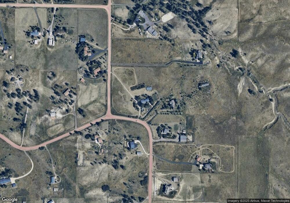
Map
Nearby Homes
- 10402 E Pinewood Dr
- 43238 London Dr
- 10443 Tomahawk Rd
- 43882 Buckskin Rd
- 9645 Canyon Wind Place
- 0 Lot 6 Wrangle Ct
- Haven Plan at Vivant
- Paxton Plan at Vivant
- Amani Plan at Vivant
- Aria Plan at Vivant
- Serenity Plan at Vivant
- 8648 Carneros Ct
- 8468 Merryvale Trail
- 11245 Glenmoor Cir
- 0 Lot 7 Wrangle Ct
- 44324 N Wrangle Ct Unit 4-5
- 23515 Branston Ln
- 23476 Painted Hills St
- 8203 Merryvale Trail
- 12000 Pine Top St
- 9524 Apache Rd
- 9506 Apache Rd
- 9475 Apache Rd
- 9603 Kiowa Rd
- 10670 Kettledrum Ln
- 10670 Kettledrum Ln
- 9662 N Kiowa Rd
- 9707 Kiowa Rd
- 10659 Kettledrum Ln
- 9712 N Kiowa Rd
- 9462 Apache Rd
- 9406 Apache Rd
- 9323 Apache Rd
- 10652 Arrowhead Ln
- 10590 Kettledrum Ln
- 9792 Kiowa Rd
- 10590 Arrowhead Ln
- 10589 Kettledrum Ln
- 10645 E Arrowhead Ln
- 9316 Apache Rd
Your Personal Tour Guide
Ask me questions while you tour the home.