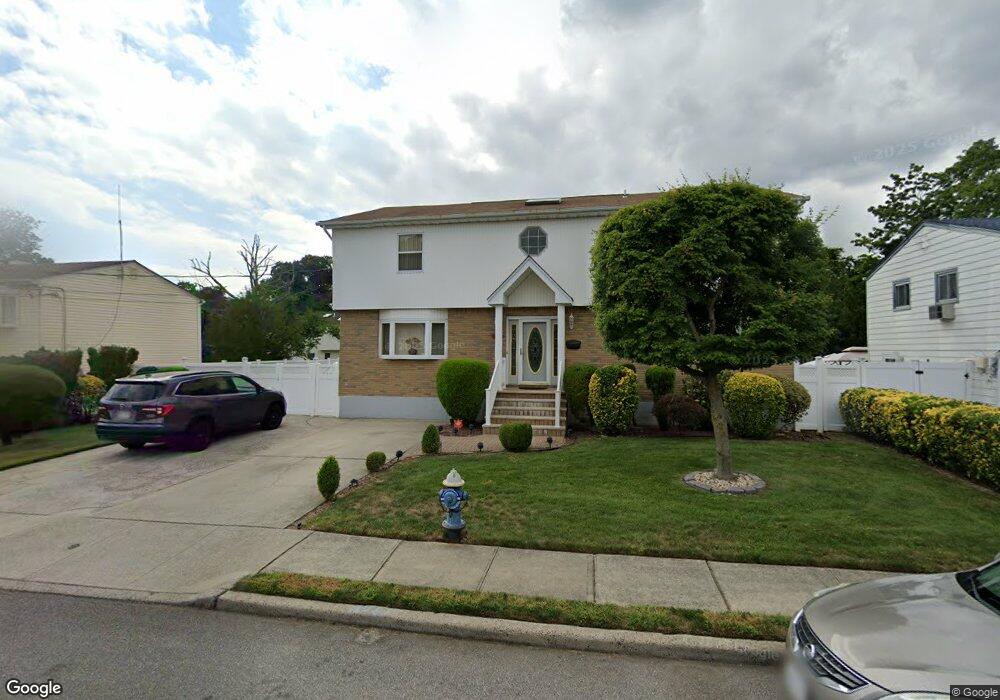
956 Derrick Adkins Ln West Hempstead, NY 11552
Estimated Value: $814,000 - $918,220
--
Bed
--
Bath
2,475
Sq Ft
$350/Sq Ft
Est. Value
About This Home
This home is located at 956 Derrick Adkins Ln, West Hempstead, NY 11552 and is currently estimated at $866,110, approximately $349 per square foot. 956 Derrick Adkins Ln is a home with nearby schools including Davison Avenue Intermediate School, Maurice W. Downing Primary K-2 School, and Howard T Herber Middle School.
Ownership History
Date
Name
Owned For
Owner Type
Purchase Details
Closed on
Mar 11, 2008
Sold by
Decayette Lossy
Bought by
Alozie Chiemika
Current Estimated Value
Purchase Details
Closed on
Sep 16, 1997
Sold by
Ibrahim & Son Inc
Bought by
Decayette Jean Lossy and Magloire Mirlande
Purchase Details
Closed on
Jan 29, 1997
Sold by
Mckithen James
Bought by
Ibrahim & Son Inc
Purchase Details
Closed on
Nov 6, 1995
Sold by
Cohn Herman Est
Bought by
Mckithen James
Home Financials for this Owner
Home Financials are based on the most recent Mortgage that was taken out on this home.
Original Mortgage
$26,000
Interest Rate
7.62%
Create a Home Valuation Report for This Property
The Home Valuation Report is an in-depth analysis detailing your home's value as well as a comparison with similar homes in the area
Home Values in the Area
Average Home Value in this Area
Purchase History
| Date | Buyer | Sale Price | Title Company |
|---|---|---|---|
| Alozie Chiemika | $512,000 | -- | |
| Decayette Jean Lossy | $215,000 | -- | |
| Ibrahim & Son Inc | $52,500 | -- | |
| Mckithen James | $22,500 | -- |
Source: Public Records
Mortgage History
| Date | Status | Borrower | Loan Amount |
|---|---|---|---|
| Previous Owner | Mckithen James | $26,000 |
Source: Public Records
Tax History Compared to Growth
Tax History
| Year | Tax Paid | Tax Assessment Tax Assessment Total Assessment is a certain percentage of the fair market value that is determined by local assessors to be the total taxable value of land and additions on the property. | Land | Improvement |
|---|---|---|---|---|
| 2025 | $15,599 | $555 | $174 | $381 |
| 2024 | $5,708 | $595 | $187 | $408 |
| 2023 | $14,299 | $608 | $191 | $417 |
| 2022 | $14,299 | $611 | $192 | $419 |
| 2021 | $17,728 | $589 | $185 | $404 |
| 2020 | $12,109 | $582 | $374 | $208 |
| 2019 | $10,157 | $624 | $376 | $248 |
| 2018 | $10,268 | $665 | $0 | $0 |
| 2017 | $6,447 | $707 | $379 | $328 |
| 2016 | $10,606 | $749 | $331 | $418 |
| 2015 | $4,354 | $791 | $350 | $441 |
| 2014 | $4,354 | $791 | $350 | $441 |
| 2013 | $4,701 | $907 | $401 | $506 |
Source: Public Records
Map
Nearby Homes
- 919 Pinelake Dr
- 924 Otsego Ct
- 9 Coral Ct
- 1025 Ontario Rd
- 401 Ocean Ave
- 486 Champlain Ave
- 10 Atlas Ave
- 7 Hopatcong Ave
- 1024 Mahopac Rd
- 1070 Mahopac Rd
- 0 Rhodes Ln
- 4 Malverne Ave
- 26 Parkside Rd
- 450 Rhodes Ln
- 461 Pinebrook Ave
- 71 Dogwood Ave
- 10 Pinebrook Ave
- 95 Dogwood Ave
- 81 Gerard Ave W
- 394 Pinebrook Ave
- 958 Derrick Adkins Ln
- 964 Derrick Adkins Ln
- 950 Derrick Adkins Ln
- 957 Pinelake Dr
- 3 Pinelake Dr
- 965 Pinelake Dr
- 970 Derrick Adkins Ln
- 944 Derrick Adkins Ln
- 951 Derrick Adkins Ln
- 961 Derrick Adkins Ln
- 123 Pinelake Dr
- 967 Derrick Adkins Ln
- 935 Pinelake Dr
- 973 Pinelake Dr
- 973 Pinelake Dr
- 945 Derrick Adkins Ln
- 978 Derrick Adkins Ln
- 938 Derrick Adkins Ln
- 975 Derrick Adkins Ln
- 981 Pinelake Dr