Estimated Value: $306,000 - $438,000
3
Beds
2
Baths
1,872
Sq Ft
$194/Sq Ft
Est. Value
About This Home
This home is located at 956 Hucklebuck Ln, Union, MO 63084 and is currently estimated at $363,043, approximately $193 per square foot. 956 Hucklebuck Ln is a home located in Franklin County with nearby schools including Union High School.
Ownership History
Date
Name
Owned For
Owner Type
Purchase Details
Closed on
Feb 10, 2016
Sold by
Mohesky Christa E and Mohesky Scott A
Bought by
Mohesky Scott A and Mohesky Christy E
Current Estimated Value
Home Financials for this Owner
Home Financials are based on the most recent Mortgage that was taken out on this home.
Original Mortgage
$222,000
Outstanding Balance
$176,050
Interest Rate
3.79%
Mortgage Type
New Conventional
Estimated Equity
$186,993
Purchase Details
Closed on
Jul 31, 2015
Sold by
Mohesky Scott A
Bought by
Jones Jeremy W and Jones Morgan L
Home Financials for this Owner
Home Financials are based on the most recent Mortgage that was taken out on this home.
Original Mortgage
$160,047
Interest Rate
3.75%
Mortgage Type
FHA
Create a Home Valuation Report for This Property
The Home Valuation Report is an in-depth analysis detailing your home's value as well as a comparison with similar homes in the area
Home Values in the Area
Average Home Value in this Area
Purchase History
| Date | Buyer | Sale Price | Title Company |
|---|---|---|---|
| Mohesky Scott A | -- | -- | |
| Jones Jeremy W | $163,000 | -- |
Source: Public Records
Mortgage History
| Date | Status | Borrower | Loan Amount |
|---|---|---|---|
| Open | Mohesky Scott A | $222,000 | |
| Closed | Jones Jeremy W | $160,047 |
Source: Public Records
Tax History Compared to Growth
Tax History
| Year | Tax Paid | Tax Assessment Tax Assessment Total Assessment is a certain percentage of the fair market value that is determined by local assessors to be the total taxable value of land and additions on the property. | Land | Improvement |
|---|---|---|---|---|
| 2024 | $1,580 | $29,595 | $0 | $0 |
| 2023 | $1,580 | $29,595 | $0 | $0 |
| 2022 | $1,672 | $31,251 | $0 | $0 |
| 2021 | $1,675 | $31,251 | $0 | $0 |
| 2020 | $1,530 | $28,130 | $0 | $0 |
| 2019 | $1,525 | $28,130 | $0 | $0 |
| 2018 | $1,379 | $26,946 | $0 | $0 |
| 2017 | $1,300 | $26,946 | $0 | $0 |
| 2016 | $1,324 | $25,118 | $0 | $0 |
| 2015 | $1,300 | $25,118 | $0 | $0 |
Source: Public Records
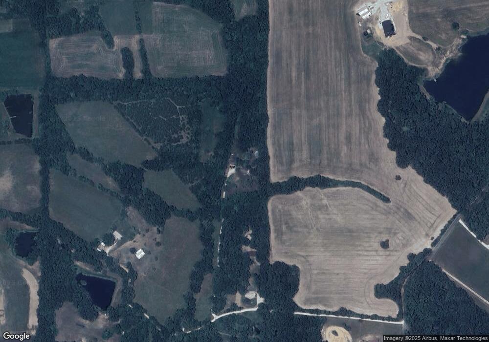
Map
Nearby Homes
- TBD Big Sky Rd
- 124 Big Sky Trail
- 2160 State Highway 50
- 0 Oak Grove School Rd
- 452 Riverdale Way
- 475 Sunset Echo Rd
- 7290 Highway Bb
- 2518 N Bend Loop
- 2073 Hickory Ridge Rd
- 8 White Pine Ct
- 678 Sunset Farms Trail
- 430 Mark Twain Loop
- 656 Sunset Farms Trail
- 443 Mark Twain Loop
- 105 Old Farm Estates Rd
- 421 Park Ln
- 405 Mark Twain Loop
- 406 Mark Twain Loop
- 6389 Highway Aj
- 762 Crider Ln
- 956 Hucklebuck Ln
- 425 Sandstone Trail
- 475 Sandstone Trail
- 440 Sandstone Trail
- 454 Sandstone Trail
- 2292 Camp Mo-Val Rd
- 470 Sandstone Trail
- 2432 Camp Mo Val Rd
- 2036 Bachelor Creek Rd
- 2449 Camp Mo Val Rd
- 2353 Camp Mo Val Rd
- 2182 Bachelor Creek Rd
- 227 Falcon Crossing Ln
- 2377 Camp Mo Val Rd
- 2379 Camp Mo Val Rd
- 2144 Bachelor Creek Rd
- 211 Falcon Crossing Ln
- 2467 Camp Mo Val Rd
- 2474 Camp Mo Val Rd
- 2096 Bachelor Creek Rd