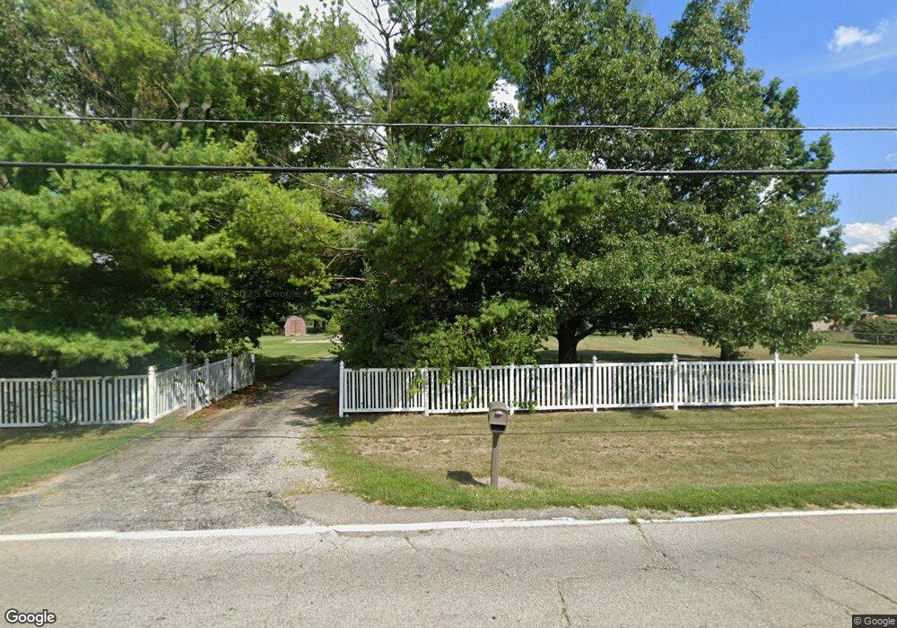
9568 Dry Fork Rd Harrison, OH 45030
Estimated Value: $328,000 - $395,000
3
Beds
2
Baths
2,112
Sq Ft
$173/Sq Ft
Est. Value
About This Home
This home is located at 9568 Dry Fork Rd, Harrison, OH 45030 and is currently estimated at $364,934, approximately $172 per square foot. 9568 Dry Fork Rd is a home located in Hamilton County with nearby schools including William Henry Harrison High School, St. John The Baptist School, and Summit Academy of Southwest Ohio.
Ownership History
Date
Name
Owned For
Owner Type
Purchase Details
Closed on
Feb 16, 2002
Sold by
Meyer Donald J
Bought by
Tabaja Simon
Current Estimated Value
Home Financials for this Owner
Home Financials are based on the most recent Mortgage that was taken out on this home.
Original Mortgage
$170,000
Interest Rate
6.87%
Purchase Details
Closed on
Feb 8, 2002
Sold by
Meyer Kathleen M
Bought by
Meyer Donald J
Home Financials for this Owner
Home Financials are based on the most recent Mortgage that was taken out on this home.
Original Mortgage
$170,000
Interest Rate
6.87%
Purchase Details
Closed on
Dec 15, 1995
Sold by
Vanderhoof Opal J and Vanderhoof Richard A
Bought by
Vanderhoof Richard A and Vanderhoof Opal J
Create a Home Valuation Report for This Property
The Home Valuation Report is an in-depth analysis detailing your home's value as well as a comparison with similar homes in the area
Purchase History
| Date | Buyer | Sale Price | Title Company |
|---|---|---|---|
| Tabaja Simon | $212,500 | Insurance Title | |
| Meyer Donald J | -- | -- | |
| Vanderhoof Richard A | -- | -- |
Source: Public Records
Mortgage History
| Date | Status | Borrower | Loan Amount |
|---|---|---|---|
| Previous Owner | Tabaja Simon | $170,000 |
Source: Public Records
Tax History Compared to Growth
Tax History
| Year | Tax Paid | Tax Assessment Tax Assessment Total Assessment is a certain percentage of the fair market value that is determined by local assessors to be the total taxable value of land and additions on the property. | Land | Improvement |
|---|---|---|---|---|
| 2024 | $3,842 | $99,166 | $18,389 | $80,777 |
| 2023 | $3,867 | $99,166 | $18,389 | $80,777 |
| 2022 | $3,095 | $69,339 | $19,782 | $49,557 |
| 2021 | $3,063 | $69,339 | $19,782 | $49,557 |
| 2020 | $3,087 | $69,339 | $19,782 | $49,557 |
| 2019 | $2,857 | $61,362 | $17,507 | $43,855 |
| 2018 | $2,874 | $61,362 | $17,507 | $43,855 |
| 2017 | $2,687 | $61,362 | $17,507 | $43,855 |
| 2016 | $2,325 | $58,461 | $17,157 | $41,304 |
| 2015 | $2,350 | $58,461 | $17,157 | $41,304 |
| 2014 | $2,358 | $58,461 | $17,157 | $41,304 |
| 2013 | $2,427 | $59,654 | $17,507 | $42,147 |
Source: Public Records
Map
Nearby Homes
- 120 Hickory Flats Dr
- 1144 South Branch
- 0 Harrison Ave Unit 1863354
- 0 Harrison Ave Unit 1842541
- 314 Country View Dr
- 308 Country View Dr
- 8992 Camberley St
- 10300 West Rd
- 1198 South Branch
- 9452 Tebbs Ct
- 122 Hopping Ct
- 0 Carolina Trace Rd Unit 1840792
- 153 Country View Dr
- 1539 Sefton Dr
- 1608 Tunis Dr
- 108 Carrie Dr
- 9208 West Rd
- 111 Burk Ln
- 1 Mackie Ct
- 9762 Baughman Rd
- 9530 Dry Fork Rd
- 9660 Dry Fork Rd
- 9512 Dry Fork Rd
- 9701 Dry Fork Rd
- 9500 Dry Fork Rd
- 9482 Dry Fork Rd
- 9466 Dry Fork Rd
- 9676 Dry Fork Rd
- 9761 West Rd
- 9400 Dry Fork Rd
- 9454 Dry Fork Rd
- 9744 West Rd
- 9380 Dry Fork Rd
- 2 Dry Fork Rd
- 0 Enterprise Dr Unit 1190945
- 0 Enterprise Dr Unit 1328218
- 0 Enterprise Dr Unit 1431274
- 9716 West Rd
- 9700 Dry Fork Rd
- 9320 Dry Fork Rd