Estimated Value: $477,000 - $540,600
3
Beds
2
Baths
1,618
Sq Ft
$317/Sq Ft
Est. Value
About This Home
This home is located at 9570 242nd Ln NE, Stacy, MN 55079 and is currently estimated at $512,150, approximately $316 per square foot. 9570 242nd Ln NE is a home located in Anoka County with nearby schools including Linwood Elementary School and Forest Lake Area High School.
Ownership History
Date
Name
Owned For
Owner Type
Purchase Details
Closed on
Sep 25, 2015
Sold by
Sherco Construction Inc
Bought by
Anderson Christopher A and Anderson Mary M
Current Estimated Value
Home Financials for this Owner
Home Financials are based on the most recent Mortgage that was taken out on this home.
Original Mortgage
$291,878
Outstanding Balance
$228,628
Interest Rate
3.75%
Mortgage Type
FHA
Estimated Equity
$283,522
Purchase Details
Closed on
Jun 2, 2015
Sold by
Pine Tree Development Llc
Bought by
Sherco Construction Inc
Home Financials for this Owner
Home Financials are based on the most recent Mortgage that was taken out on this home.
Original Mortgage
$150,000
Interest Rate
3.63%
Mortgage Type
Commercial
Create a Home Valuation Report for This Property
The Home Valuation Report is an in-depth analysis detailing your home's value as well as a comparison with similar homes in the area
Home Values in the Area
Average Home Value in this Area
Purchase History
| Date | Buyer | Sale Price | Title Company |
|---|---|---|---|
| Anderson Christopher A | $297,263 | First American Title Co | |
| Sherco Construction Inc | -- | First American Title Ins Co |
Source: Public Records
Mortgage History
| Date | Status | Borrower | Loan Amount |
|---|---|---|---|
| Open | Anderson Christopher A | $291,878 | |
| Previous Owner | Sherco Construction Inc | $150,000 |
Source: Public Records
Tax History Compared to Growth
Tax History
| Year | Tax Paid | Tax Assessment Tax Assessment Total Assessment is a certain percentage of the fair market value that is determined by local assessors to be the total taxable value of land and additions on the property. | Land | Improvement |
|---|---|---|---|---|
| 2025 | $4,459 | $505,900 | $120,300 | $385,600 |
| 2024 | $4,459 | $487,600 | $118,400 | $369,200 |
| 2023 | $3,859 | $473,300 | $101,600 | $371,700 |
| 2022 | $3,876 | $466,300 | $81,100 | $385,200 |
| 2021 | $3,822 | $403,600 | $68,600 | $335,000 |
| 2020 | $3,882 | $378,200 | $65,000 | $313,200 |
| 2019 | $3,721 | $371,000 | $61,500 | $309,500 |
| 2018 | $3,339 | $343,300 | $0 | $0 |
| 2017 | $3,396 | $318,500 | $0 | $0 |
| 2016 | $310 | $42,300 | $0 | $0 |
| 2015 | $413 | $42,300 | $42,300 | $0 |
| 2014 | -- | $35,100 | $35,100 | $0 |
Source: Public Records
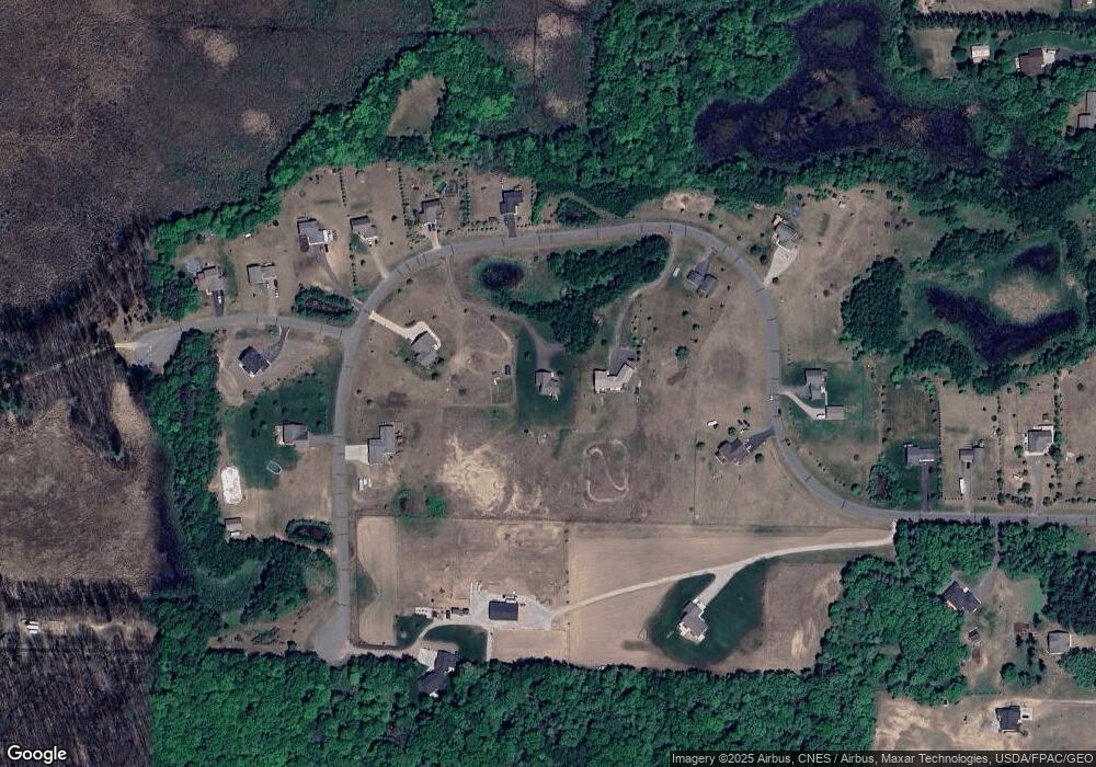
Map
Nearby Homes
- xxxx Elmcrest Ave
- TBD 241st Ln NE
- 32405 Elk Ct
- xxx Rutgers St NE
- 8600 239th Ln NE
- xxxx 241st Ave NE
- 8231 242nd Ln NE
- 4985 Enchantment Ln
- 5674 Sherman Oaks Rd
- 5678 Sherman Oaks Rd
- 5820 307th St
- 30145 Fir Trail
- 33015 Fenway Ave
- 31208 Forest Blvd
- 7901 243rd Ln NE
- 30780 Forest Blvd
- 6205 Stacy Trail
- xxx Pigeon Loft Rd NE
- XXXX Athens Trail
- 4748 Athens Trail
- 9600 242nd Ln NE
- 9500 242nd Ln NE
- 24191 Feller St
- L5 B1 242nd Ln NE
- 9531 242nd Ln NE
- 9610 242nd Ln NE
- 9525 242nd Ln NE
- 9630 241st Ln NE
- 9507 242nd Ln NE
- XXX 242nd Ln NE
- 24170 24170 Feller-Avenue-ne
- 24170 Feller St
- 9XXX 241st Ln NE
- 9622 241st Ln NE
- 9140 254th Ct
- 9147 254th Ct
- 9109 254th Ct
- 9651 241st Ln NE
- 9469 242nd Ln NE
- 9677 241st Ln NE