9571 Basher Dr Anchorage, AK 99507
Basher NeighborhoodEstimated Value: $550,000 - $1,514,320
4
Beds
6
Baths
4,258
Sq Ft
$240/Sq Ft
Est. Value
About This Home
This home is located at 9571 Basher Dr, Anchorage, AK 99507 and is currently estimated at $1,022,107, approximately $240 per square foot. 9571 Basher Dr is a home located in Anchorage Municipality with nearby schools including Baxter Elementary School, Wendler Middle School, and Bettye Davis East Anchorage High School.
Ownership History
Date
Name
Owned For
Owner Type
Purchase Details
Closed on
Jan 29, 2004
Sold by
Frederick Sandra S
Bought by
Merchant Robert and Merchant Delores
Current Estimated Value
Create a Home Valuation Report for This Property
The Home Valuation Report is an in-depth analysis detailing your home's value as well as a comparison with similar homes in the area
Home Values in the Area
Average Home Value in this Area
Purchase History
| Date | Buyer | Sale Price | Title Company |
|---|---|---|---|
| Merchant Robert | -- | Stewart Title Of Alaska |
Source: Public Records
Tax History Compared to Growth
Tax History
| Year | Tax Paid | Tax Assessment Tax Assessment Total Assessment is a certain percentage of the fair market value that is determined by local assessors to be the total taxable value of land and additions on the property. | Land | Improvement |
|---|---|---|---|---|
| 2025 | $16,468 | $1,353,200 | $234,800 | $1,118,400 |
| 2024 | $16,468 | $1,242,100 | $234,800 | $1,007,300 |
| 2023 | $16,220 | $1,107,200 | $224,200 | $883,000 |
| 2022 | $15,457 | $1,088,100 | $232,600 | $855,500 |
| 2021 | $15,877 | $994,800 | $232,600 | $762,200 |
| 2020 | $13,497 | $950,200 | $232,600 | $717,600 |
| 2019 | $12,674 | $933,800 | $232,600 | $701,200 |
| 2018 | $12,583 | $927,500 | $232,600 | $694,900 |
| 2017 | $13,310 | $960,000 | $232,600 | $727,400 |
| 2016 | $7,664 | $978,100 | $215,900 | $762,200 |
| 2015 | $7,664 | $938,700 | $211,900 | $726,800 |
| 2014 | $7,664 | $914,400 | $179,900 | $734,500 |
Source: Public Records
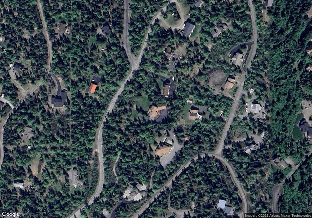
Map
Nearby Homes
- 9921 Nearpoint Dr
- 10121 Middlerock Rd
- 000 Atelier Dr
- 9216 Atelier Dr
- L1 Montagne Cir
- 10500 Blackwolf Cir
- 4364 Rendezvous Cir
- 4346 Rendezvous Cir
- 8470 Pioneer Dr
- 4021 Resurrection Dr
- 3925 Roundtop Cir
- 7721 Regal Mountain Dr
- 8050 Pioneer Dr Unit 704
- 9900 Hillhaven Cir
- 3832 Sycamore Loop
- 3933 Sycamore Loop
- 4370 Ambler Cir
- L11 Panorama Dr
- L13 Panorama Dr
- L6 Panorama Dr
- 9625 Basher Dr
- 10220 Middlerock Rd
- 9600 Burning Bush Dr
- L9 B2 Basher & Kew
- L1 B1 Basher Dr
- 9641 Basher Dr
- 9630 Basher Dr
- 9600 Basher Dr
- 10260 Middlerock Rd
- 9661 Basher Dr
- 9630 Burning Bush Dr
- 6550 Farpoint Dr
- L1 B1 Burning Bush Dr
- 9640 Burning Bush Dr
- 9551 Burning Bush Dr
- 9611 Burning Bush Dr
- L6 Canyon Creek Dr
- 9550 Basher Dr
- 10231 Middlerock Rd
- 9825 Nearpoint Dr