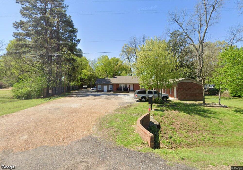
9575 Highway 178 Olive Branch, MS 38654
Estimated Value: $448,202
--
Bed
--
Bath
1,499
Sq Ft
$299/Sq Ft
Est. Value
About This Home
This home is located at 9575 Highway 178, Olive Branch, MS 38654 and is currently estimated at $448,202, approximately $299 per square foot. 9575 Highway 178 is a home located in DeSoto County with nearby schools including Olive Branch Elementary School, Chickasaw Elementary School, and Olive Branch Middle School.
Ownership History
Date
Name
Owned For
Owner Type
Purchase Details
Closed on
Nov 28, 2011
Sold by
Curtis Timothy E and Norton Patricia Nell C
Bought by
Olive Branch Motel Llc
Current Estimated Value
Home Financials for this Owner
Home Financials are based on the most recent Mortgage that was taken out on this home.
Original Mortgage
$70,000
Outstanding Balance
$47,498
Interest Rate
4.07%
Mortgage Type
Seller Take Back
Estimated Equity
$400,704
Purchase Details
Closed on
Jan 7, 2008
Sold by
Olive Branch Motel Inc
Bought by
Curtis Nell H
Create a Home Valuation Report for This Property
The Home Valuation Report is an in-depth analysis detailing your home's value as well as a comparison with similar homes in the area
Home Values in the Area
Average Home Value in this Area
Purchase History
| Date | Buyer | Sale Price | Title Company |
|---|---|---|---|
| Olive Branch Motel Llc | -- | None Available | |
| Curtis Nell H | -- | None Available |
Source: Public Records
Mortgage History
| Date | Status | Borrower | Loan Amount |
|---|---|---|---|
| Open | Olive Branch Motel Llc | $70,000 |
Source: Public Records
Tax History Compared to Growth
Tax History
| Year | Tax Paid | Tax Assessment Tax Assessment Total Assessment is a certain percentage of the fair market value that is determined by local assessors to be the total taxable value of land and additions on the property. | Land | Improvement |
|---|---|---|---|---|
| 2025 | $1,856 | $13,602 | $3,393 | $10,209 |
| 2024 | $1,463 | $10,723 | $3,393 | $7,330 |
| 2023 | $1,463 | $10,723 | $0 | $0 |
| 2022 | $1,463 | $10,723 | $3,393 | $7,330 |
| 2021 | $1,463 | $10,723 | $3,393 | $7,330 |
| 2020 | $1,349 | $9,883 | $3,393 | $6,490 |
| 2019 | $1,349 | $9,883 | $3,393 | $6,490 |
| 2017 | $1,434 | $17,513 | $10,453 | $7,060 |
| 2016 | $1,434 | $10,453 | $3,393 | $7,060 |
| 2015 | $1,434 | $17,513 | $10,453 | $7,060 |
| 2014 | $1,434 | $10,453 | $0 | $0 |
| 2013 | $393 | $10,453 | $0 | $0 |
Source: Public Records
Map
Nearby Homes
- 9678 Stuart Cove
- 9762 Riggan Dr
- 9355 Pigeon Roost Rd
- 9811 Cherokee Dr
- 9270 College St
- 9919 Adina Cove
- 9893 Cherokee Dr
- 9930 Sequoia Ln
- 0 Alexander Dr
- 9821 Morgan Manor Dr
- 10023 Goodman Rd
- 7132 Village Ln
- 5295 Blocker St
- 7550 Old Highway 78
- 9113 Rue Orleans Ln
- 6748 Cockrum Rd
- 10155 Riggan Dr
- 8834 Purple Martin Dr
- 8911 Oak Branch Ln
- 8897 Parkview Oaks Cir
- 9575 Highway Unit 178
- 9597 Highway 178
- 9540 Stuart St
- 9558 Stuart St
- 9526 Stuart St
- 9570 Stuart St
- 9588 Stuart St
- 9710 Highway Unit 178
- 9506 Stuart St
- 9533 Stuart St
- 9521 Stuart St
- 9517 Highway 178
- 9517 Hwy 178
- 9549 Stuart St
- 9505 Stuart St
- 9598 Stuart St
- 9569 Stuart St
- 9492 Stuart St
- 9491 Stuart St
- 9713 Dogwood Ct W