9581 Telhan Dr Huntington Beach, CA 92646
Adams NeighborhoodEstimated Value: $1,342,000 - $1,500,000
4
Beds
2
Baths
1,716
Sq Ft
$820/Sq Ft
Est. Value
About This Home
This home is located at 9581 Telhan Dr, Huntington Beach, CA 92646 and is currently estimated at $1,407,655, approximately $820 per square foot. 9581 Telhan Dr is a home located in Orange County with nearby schools including Isojiro Oka Elementary, Talbert Middle School, and Huntington Beach High School.
Ownership History
Date
Name
Owned For
Owner Type
Purchase Details
Closed on
Dec 15, 1994
Sold by
Bankers Trust Company
Bought by
Briganti Robert Natale
Current Estimated Value
Purchase Details
Closed on
Jul 7, 1994
Sold by
Gmac Mtg Service Company Of California
Bought by
Bankers Trust Company
Create a Home Valuation Report for This Property
The Home Valuation Report is an in-depth analysis detailing your home's value as well as a comparison with similar homes in the area
Home Values in the Area
Average Home Value in this Area
Purchase History
| Date | Buyer | Sale Price | Title Company |
|---|---|---|---|
| Briganti Robert Natale | $200,000 | Stewart Title | |
| Bankers Trust Company | $212,000 | Benefit Land Title Co |
Source: Public Records
Tax History Compared to Growth
Tax History
| Year | Tax Paid | Tax Assessment Tax Assessment Total Assessment is a certain percentage of the fair market value that is determined by local assessors to be the total taxable value of land and additions on the property. | Land | Improvement |
|---|---|---|---|---|
| 2025 | $3,914 | $335,928 | $203,981 | $131,947 |
| 2024 | $3,914 | $329,342 | $199,982 | $129,360 |
| 2023 | $3,819 | $322,885 | $196,061 | $126,824 |
| 2022 | $3,759 | $316,554 | $192,216 | $124,338 |
| 2021 | $3,687 | $310,348 | $188,448 | $121,900 |
| 2020 | $3,664 | $307,166 | $186,515 | $120,651 |
| 2019 | $29,910 | $301,144 | $182,858 | $118,286 |
| 2018 | $3,522 | $295,240 | $179,273 | $115,967 |
| 2017 | $3,466 | $289,451 | $175,757 | $113,694 |
| 2016 | $3,321 | $283,776 | $172,311 | $111,465 |
| 2015 | $3,270 | $279,514 | $169,723 | $109,791 |
| 2014 | $3,204 | $274,039 | $166,398 | $107,641 |
Source: Public Records
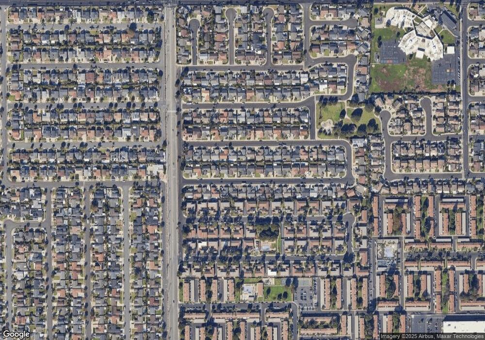
Map
Nearby Homes
- 9594 Pettswood Dr Unit 4
- 19846 Lures Ln
- 19854 Leighton Ln
- 9667 Durham Dr
- 19843 Coventry Ln
- 9745 Cornwall Dr
- 9831 Continental Dr
- 9695 Adams Ave
- 19860 Claremont Ln
- 19774 Cambridge Ln
- 19880 Berkshire Ln
- 20071 Moontide Cir
- 19361 Brookhurst St Unit 159
- 19361 Brookhurst St Unit 87
- 19361 Brookhurst St Unit 50
- 19361 Brookhurst St Unit 143
- 19361 Brookhurst St Unit 21
- 19361 Brookhurst St Unit 22
- 19361 Brookhurst St Unit 184
- 19361 Brookhurst St Unit 33
- 9591 Telhan Dr
- 9571 Telhan Dr
- 9582 Warburton Dr
- 9592 Warburton Dr
- 9572 Warburton Dr
- 9601 Telhan Dr
- 9561 Telhan Dr
- 9582 Telhan Dr
- 9602 Warburton Dr
- 9562 Warburton Dr
- 9572 Telhan Dr
- 9592 Telhan Dr
- 9611 Telhan Dr
- 9551 Telhan Dr
- 9562 Telhan Dr
- 9602 Telhan Dr
- 9612 Warburton Dr
- 9552 Warburton Dr
- 9587 Bickley Dr Unit 2
- 9585 Bickley Dr Unit 1