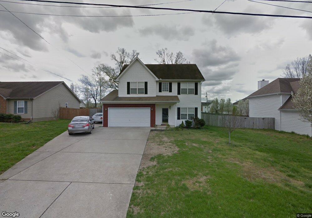
959 Lavergne Ln La Vergne, TN 37086
Estimated Value: $345,908 - $408,000
--
Bed
3
Baths
1,890
Sq Ft
$200/Sq Ft
Est. Value
About This Home
This home is located at 959 Lavergne Ln, La Vergne, TN 37086 and is currently estimated at $377,227, approximately $199 per square foot. 959 Lavergne Ln is a home located in Rutherford County with nearby schools including LaVergne Lake Elementary School, La Vergne Middle School, and Lavergne High School.
Ownership History
Date
Name
Owned For
Owner Type
Purchase Details
Closed on
May 24, 2013
Sold by
Brown Sharon E
Bought by
Scott Andrew W Sharon E
Current Estimated Value
Home Financials for this Owner
Home Financials are based on the most recent Mortgage that was taken out on this home.
Original Mortgage
$141,622
Outstanding Balance
$65,952
Interest Rate
3.43%
Mortgage Type
FHA
Estimated Equity
$311,275
Purchase Details
Closed on
Jul 8, 2004
Sold by
Edward Lewis Zack
Bought by
Brown Sharon E
Home Financials for this Owner
Home Financials are based on the most recent Mortgage that was taken out on this home.
Original Mortgage
$162,352
Interest Rate
6.25%
Purchase Details
Closed on
Oct 22, 2002
Sold by
Ole South Properties
Bought by
Powers Julie M and Powers Richard
Home Financials for this Owner
Home Financials are based on the most recent Mortgage that was taken out on this home.
Original Mortgage
$92,691
Interest Rate
6.21%
Create a Home Valuation Report for This Property
The Home Valuation Report is an in-depth analysis detailing your home's value as well as a comparison with similar homes in the area
Home Values in the Area
Average Home Value in this Area
Purchase History
| Date | Buyer | Sale Price | Title Company |
|---|---|---|---|
| Scott Andrew W Sharon E | -- | -- | |
| Brown Sharon E | $164,900 | -- | |
| Powers Julie M | $102,990 | -- |
Source: Public Records
Mortgage History
| Date | Status | Borrower | Loan Amount |
|---|---|---|---|
| Open | Scott Andrew W Sharon E | $141,622 | |
| Previous Owner | Powers Julie M | $162,352 | |
| Previous Owner | Powers Julie M | $92,691 |
Source: Public Records
Tax History Compared to Growth
Tax History
| Year | Tax Paid | Tax Assessment Tax Assessment Total Assessment is a certain percentage of the fair market value that is determined by local assessors to be the total taxable value of land and additions on the property. | Land | Improvement |
|---|---|---|---|---|
| 2025 | $1,845 | $76,475 | $13,750 | $62,725 |
| 2024 | $1,845 | $76,475 | $13,750 | $62,725 |
| 2023 | $1,435 | $76,475 | $13,750 | $62,725 |
| 2022 | $1,236 | $76,475 | $13,750 | $62,725 |
| 2021 | $1,160 | $52,275 | $10,000 | $42,275 |
| 2020 | $1,160 | $52,275 | $10,000 | $42,275 |
| 2019 | $1,160 | $52,275 | $10,000 | $42,275 |
| 2018 | $1,468 | $52,275 | $0 | $0 |
| 2017 | $1,288 | $35,500 | $0 | $0 |
| 2016 | $1,288 | $35,500 | $0 | $0 |
| 2015 | $1,297 | $35,500 | $0 | $0 |
| 2014 | $883 | $35,500 | $0 | $0 |
| 2013 | -- | $35,900 | $0 | $0 |
Source: Public Records
Map
Nearby Homes
- 1813 Rory Cove
- 1710 Chris Dr
- 1626 Jo Ann Dr
- 1610 Jo Ann Dr
- 630 Holland Ridge Dr
- 607 Mable Dr
- 1529 Waxman Dr
- 396 Davids Way
- 800 Troy Cove
- 305 Carp Ct
- 221 Quiet Ln
- 311 Carp Ct
- 4441 Maxwell Rd
- ELSTON Plan at Percy Cove
- CALHOUN Plan at Percy Cove
- IRWIN Plan at Percy Cove
- EDMON Plan at Percy Cove
- BOWEN Plan at Percy Cove
- HARBOR Plan at Percy Cove
- ALAMOSA Plan at Percy Cove
- 957 Lavergne Ln
- 961 Lavergne Ln
- 1326 Nicole Ln
- 1324 Nicole Ln
- 963 Lavergne Ln
- 955 Lavergne Ln
- 1322 Nicole Ln
- 950 Lavergne Ln
- 1328 Nicole Ln
- 952 Lavergne Ln
- 948 Lavergne Ln
- 954 Lavergne Ln
- 953 Lavergne Ln
- 965 Lavergne Ln
- 1320 Nicole Ln
- 946 Lavergne Ln
- 956 Lavergne Ln
- 1330 Nicole Ln
- 1318 Nicole Ln
- 951 Lavergne Ln